Instant Download Ordnance Survey Maps for Business & Leisure
Popular Products
-
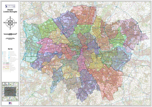
London Boroughs Map - Digital Download
Regular price £9.99Regular price -
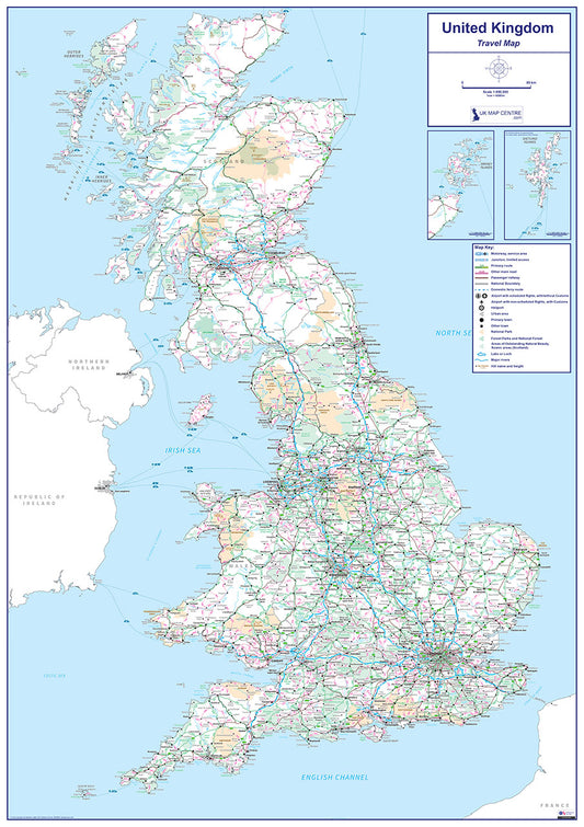
Travel Map 1 - Full UK - Digital Download
Regular price £9.99Regular price -
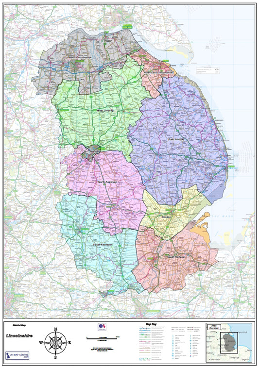
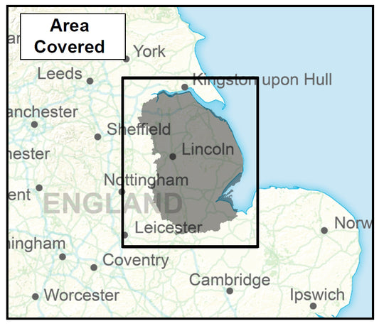
Lincolnshire County Map - Digital Download
Regular price £9.99Regular price -
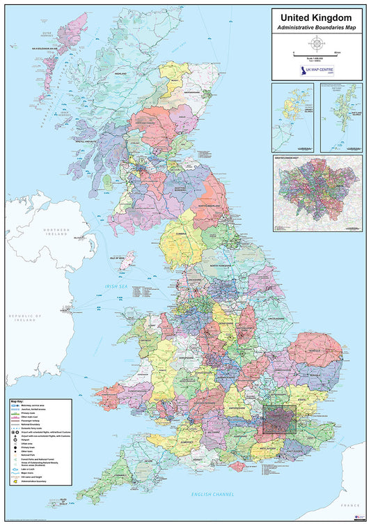
National Admin Boundary Map 1 - Digital Download
Regular price £9.99Regular price -
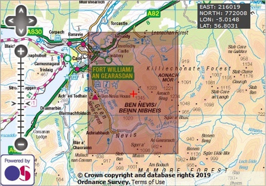
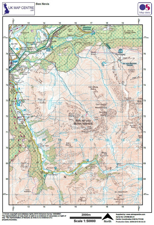
Ben Nevis- OS Walking Map Download
Regular price £2.00Regular price -
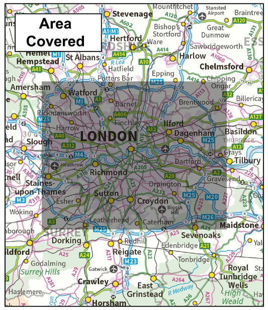
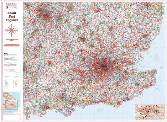
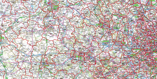
South East England Postcode District Map | London & Regional Boundaries PDF
Regular price £9.99Regular price
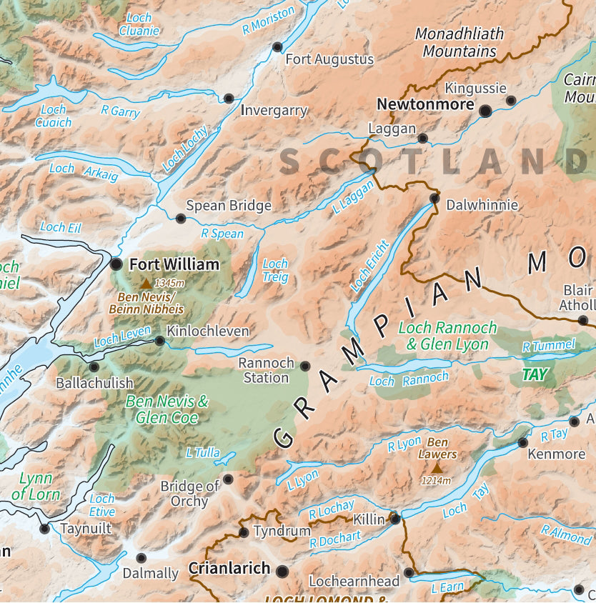
Relief Maps
Created using Ordnance Survey Miniscale Relief mapping these maps show
the heights across the UK as shading. The standard relief map shows
major cities only as an indication, we also produce a Relief map with
Transport links which shows the major road and rail connections across
the countries.
Travel Maps
The Travel Maps have been created using Ordnance Survey Miniscale Travel
mapping this series is ideal for planning routes on a national scale,
major towns and cities and the communication networks are clearly
displayed.
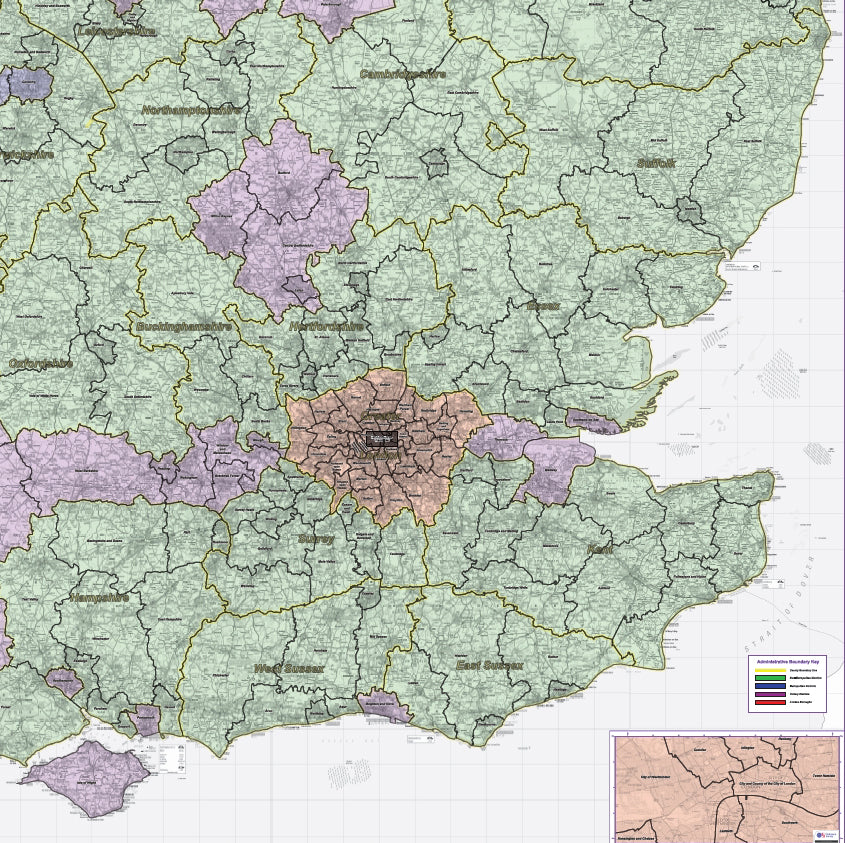
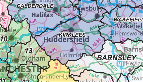
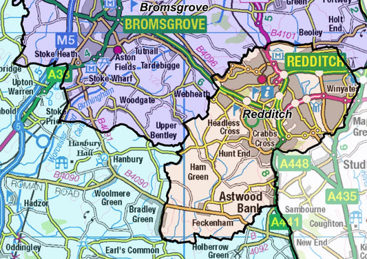
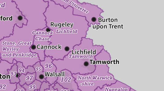
Regional Admin Maps
See our collectons of Admin maps covering the UK at Regional level.
Using up-to-date OS mapping these maps are ideal for business planning.
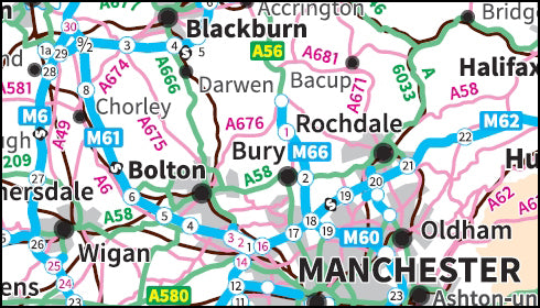
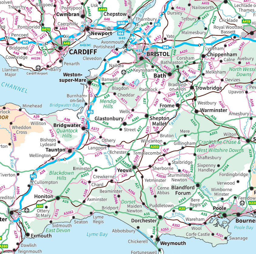
Road Maps
The Road Map series covers the UK across 8 sheets. Created using
up-to-date Ordnance Survey Road mapping, these maps clearly show the
cities, towns and villages across the UK and the Road and Rail networks
that connect them. Ideal for business or leisure use.
View our latest news and blog posts
View all-
County and District Maps - Digital Download
Are you looking for detailed and accurate maps of various counties and districts in the UK? Look no further than the collection offered by UK Maps. These maps provide valuable...
County and District Maps - Digital Download
Are you looking for detailed and accurate maps of various counties and districts in the UK? Look no further than the collection offered by UK Maps. These maps provide valuable...
-

Westminster General Election Results - Digital ...
Now that the UK Parliamentary Election results are (finally!!) all in, we've created a map showing these results. The UK Parliamentary Map with 2024 General Election results shows the UK...
Westminster General Election Results - Digital ...
Now that the UK Parliamentary Election results are (finally!!) all in, we've created a map showing these results. The UK Parliamentary Map with 2024 General Election results shows the UK...
-
Updated Parliamentary Regions Maps - with 2024 ...
We've updated the Regional Parliamentary Maps series and they now show the changes to the constituency boundaries made for this year, and on which the 2024 General Election will be...
Updated Parliamentary Regions Maps - with 2024 ...
We've updated the Regional Parliamentary Maps series and they now show the changes to the constituency boundaries made for this year, and on which the 2024 General Election will be...


