-
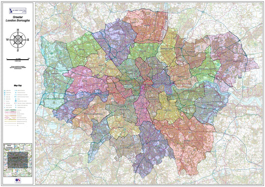
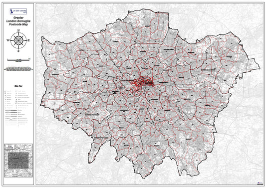
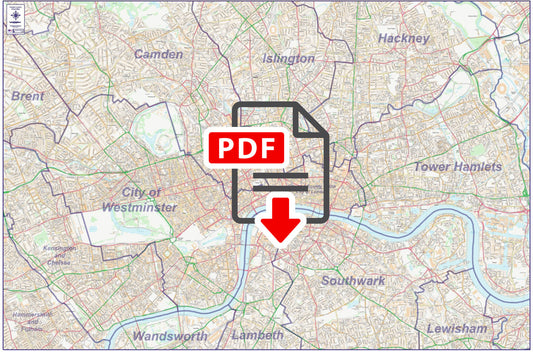
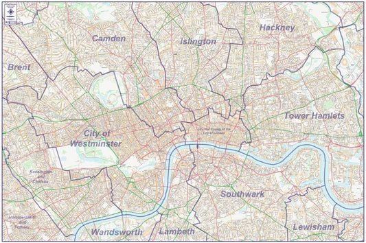
London Boroughs Map - Digital Download
Regular price £9.99Regular price -
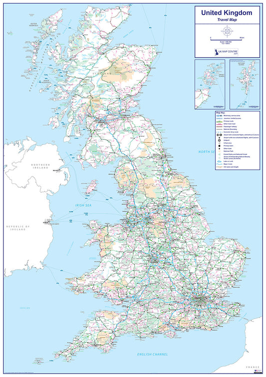
Travel Map 1 - Full UK - Digital Download
Regular price £9.99Regular price -
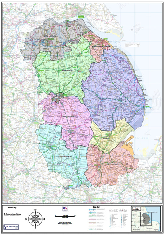
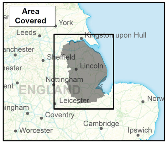
Lincolnshire County Map - Digital Download
Regular price £9.99Regular price -
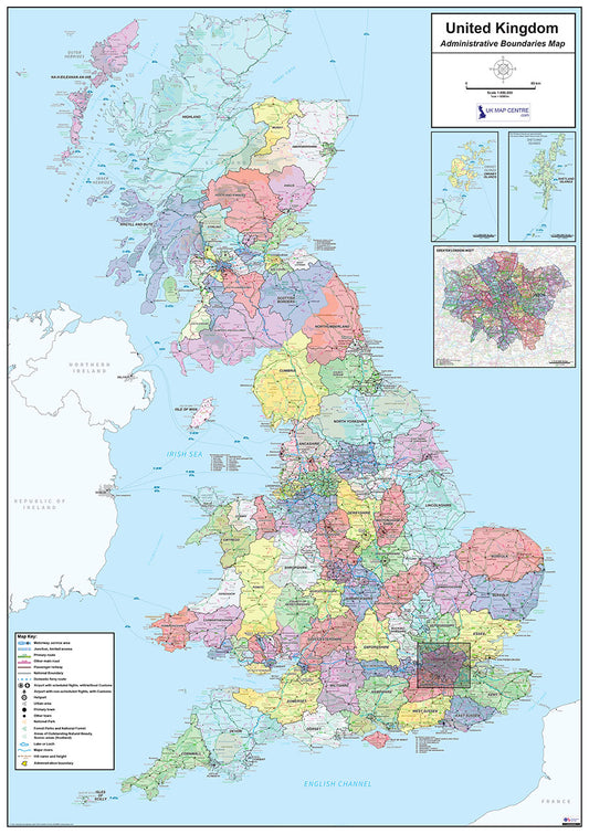
National Admin Boundary Map 1 - Digital Download
Regular price £9.99Regular price -
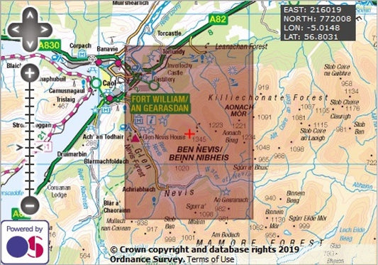
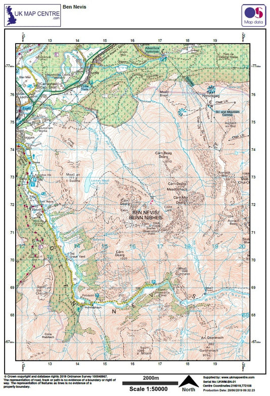
Ben Nevis- OS Walking Map Download
Regular price £2.00Regular price -
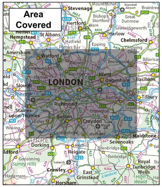
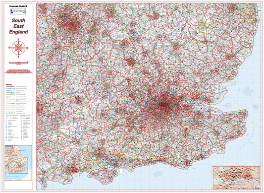
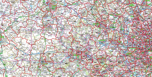
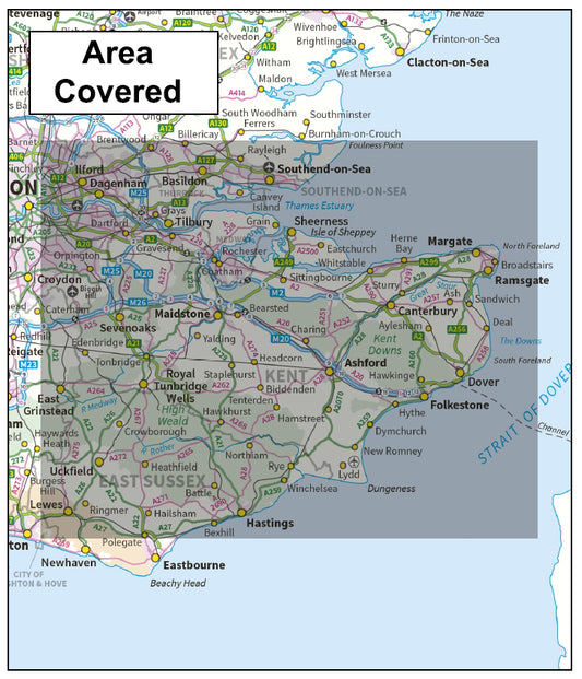
South East England Postcode District Map | London & Regional Boundaries PDF
Regular price £9.99Regular price -
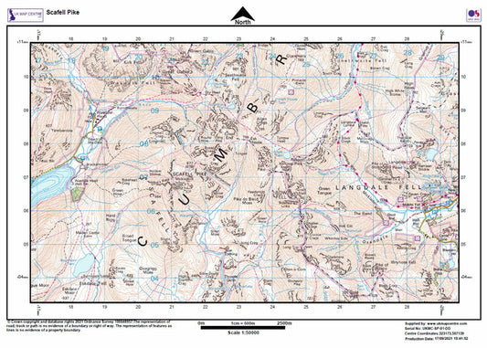
Scafell Pike - OS Walking Map Download
Regular price £2.00Regular price -
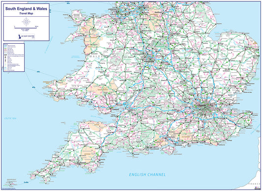
Travel Map 4 - Southern England & Wales - Digital Download
Regular price £9.99Regular price -
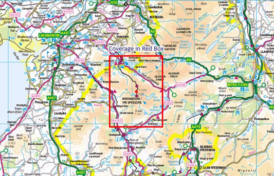
Snowdon / Yr Wyddfa - OS Walking Map Download
Regular price £2.00Regular price -
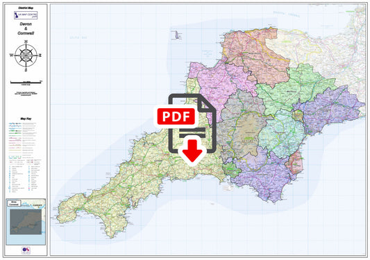
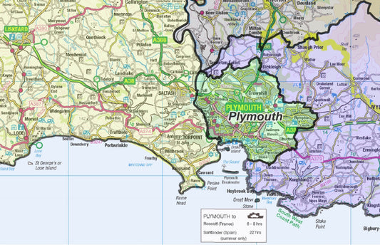
Devon and Cornwall County Boundaries Map - Digital Download
Regular price £9.99Regular price -
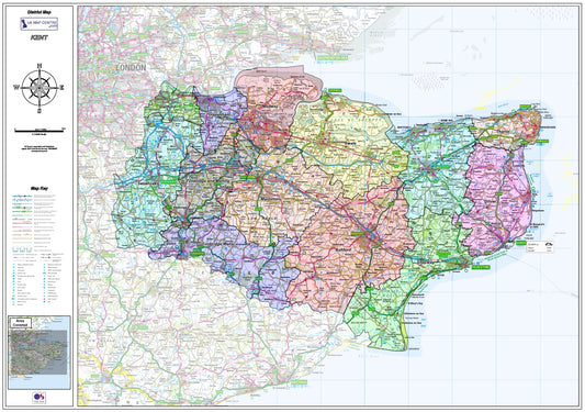
Kent County Boundary Map - Digital Download
Regular price £9.99Regular price -
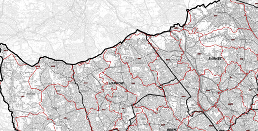
London Postcode District Map | SW, SE, E, N Postcode Boundaries PDF
Regular price £9.99Regular price -
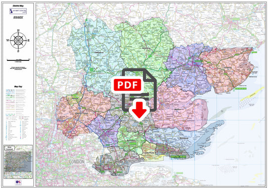
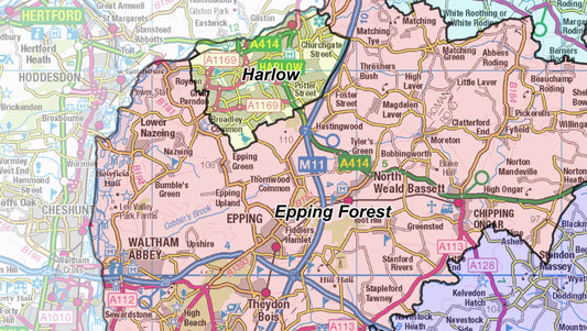
Essex County Boundary Map - Digital Download
Regular price £9.99Regular price -
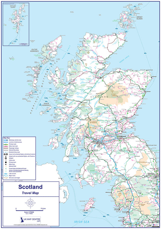
Compact Scotland Travel Map - Digital Download
Regular price £7.99Regular price -
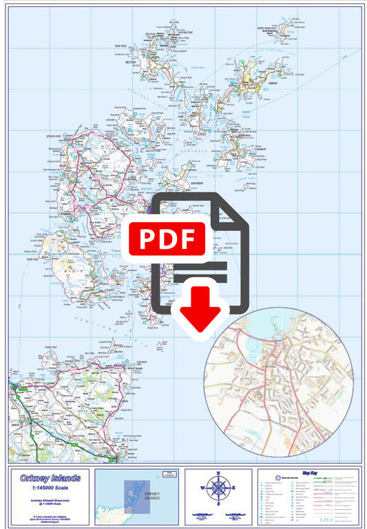
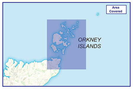
Orkney Islands Map - Digital Download
Regular price £7.99Regular price -
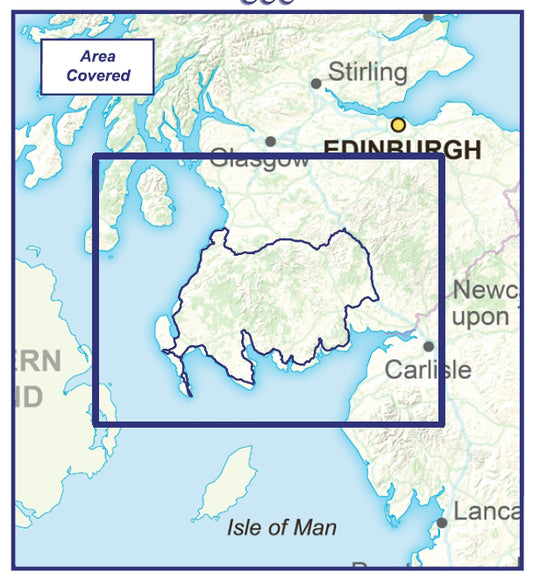
South West Coastal 300 Route Map - Digital Download
Regular price £7.99Regular price -
Central London City Street Map - Digital Download
Regular price £9.99Regular price -
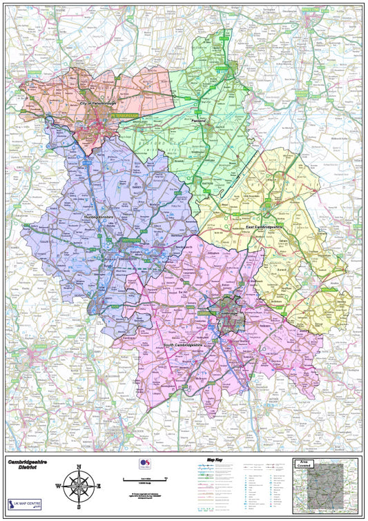
Cambridgeshire County Map - Digital Download
Regular price £9.99Regular price -
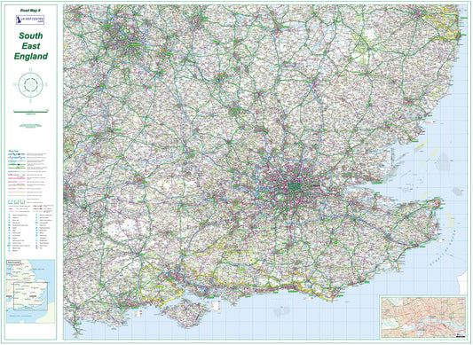
Road Map 8 - South East England - Digital Download
Regular price £9.99Regular price -
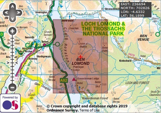
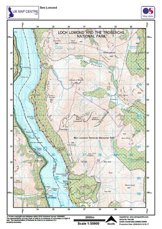
Ben Lomond - OS Walking Map Download
Regular price £2.00Regular price -
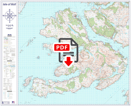
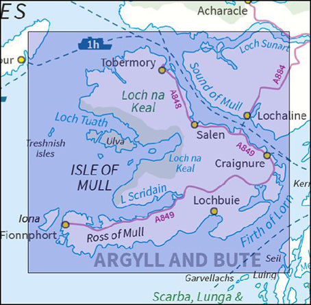
Isle of Mull Map - Digital Download
Regular price £9.99Regular price -
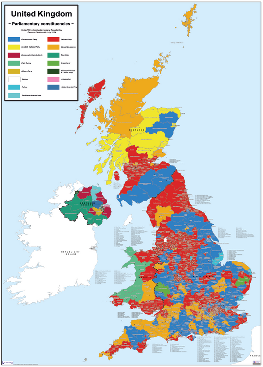
UK Parliamentary Map 2024 - Digital Download
Regular price £5.00Regular price -
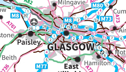
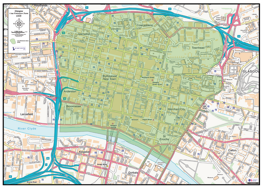
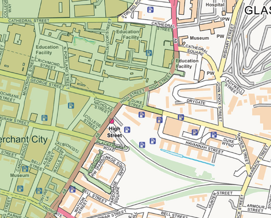
Glasgow LEZ Street Map - Digital Download
Regular price £6.00Regular price -
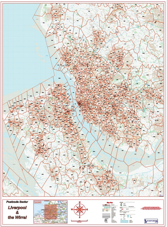
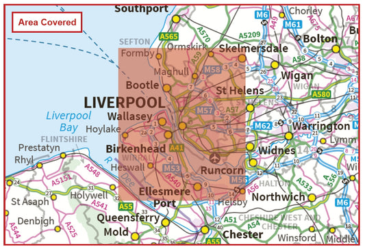
Liverpool Postcode Sector Map | Wirral & L Postcode Boundaries PDF
Regular price £9.99Regular price