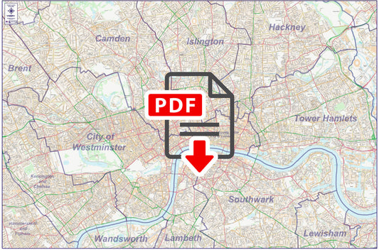
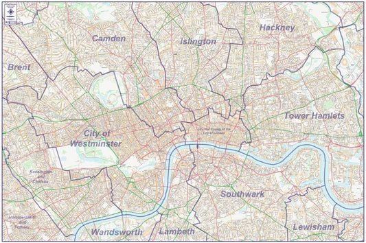
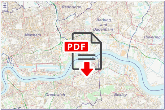
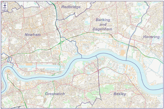
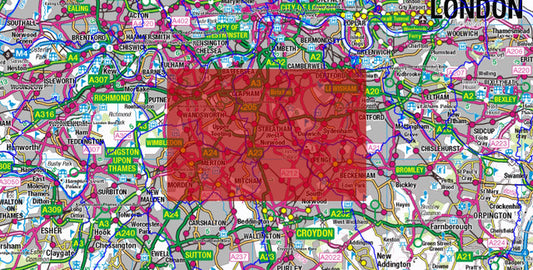
Collection: Central London City Street Maps
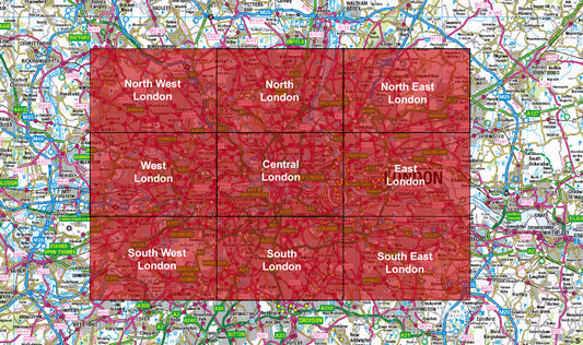
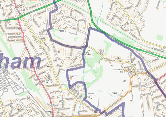
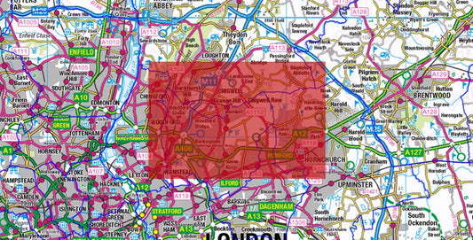
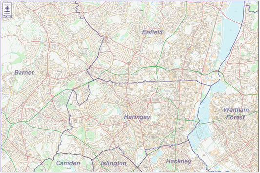
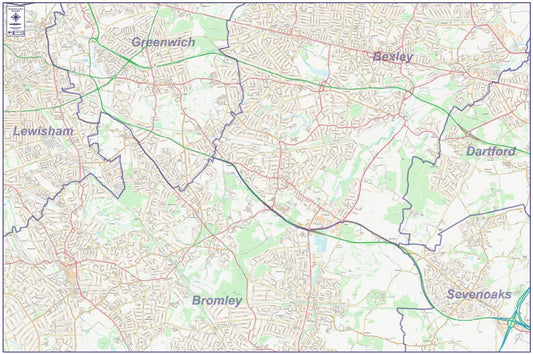
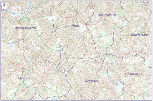
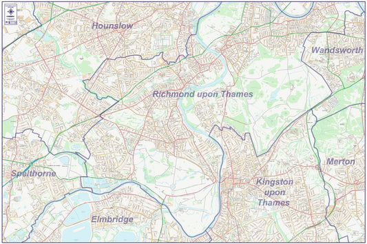
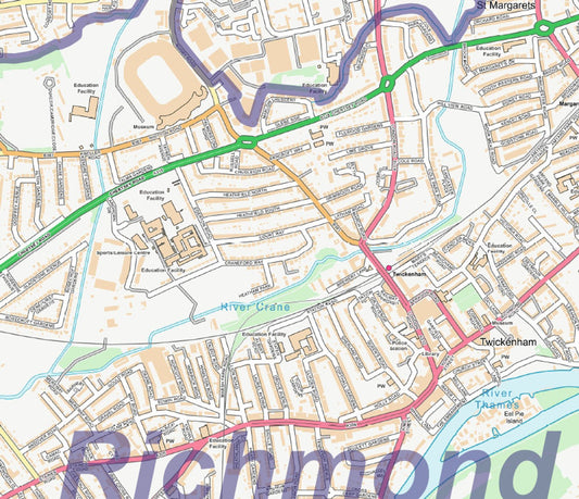
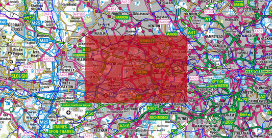
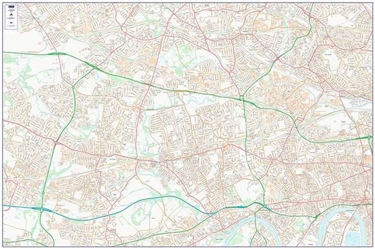
Our London City Street Maps series covers the whole of Greater London in 9 regional maps Central, East, North, North East, North West, South, South East, South West and West London. Each map is produced using Ordnance Survey StreetView data at 1:10,000 scale, showing every street name, public building and point of interest across the capital.
Whether you need a detailed reference for a specific area of London or comprehensive coverage of the whole city, the series has you covered. Maps are available individually at £9.99 each, or as a complete 9-map London series at a discounted bundle price.
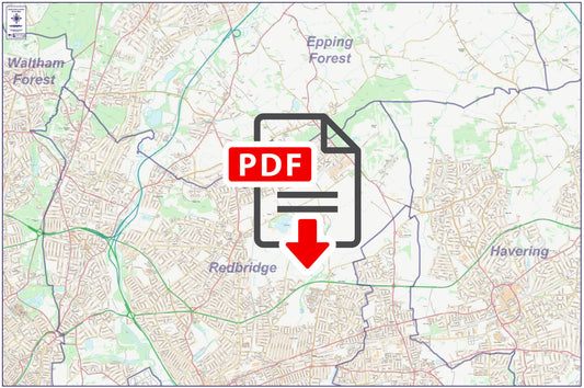
All maps are supplied as high-resolution 300 dpi PDFs for instant download on order completion. For London maps with postcode sector boundaries overlaid, see our Central London Postcode City Street Maps collection.
-
Central London City Street Map - Digital Download
Regular price £9.99Regular priceSale price £9.99 -
East London City Street Map - Digital Download
Regular price £9.99Regular priceSale price £9.99 -
Full Series London City Street Map - Digital Download - Special Offer
Regular price £89.91Regular priceSale price £89.91 -
North East London City Street Map - Digital Download
Regular price £9.99Regular priceSale price £9.99 -
North London City Street Map - Digital Download
Regular price £9.99Regular priceSale price £9.99 -
North West London City Street Map - Digital Download
Regular price £9.99Regular priceSale price £9.99 -
South East London City Street Map - Digital Download
Regular price £9.99Regular priceSale price £9.99 -
South London City Street Map - Digital Download
Regular price £9.99Regular priceSale price £9.99 -
South West London City Street Map - Digital Download
Regular price £9.99Regular priceSale price £9.99 -
West London City Street Map - Digital Download
Regular price £9.99Regular priceSale price £9.99
Subscribe to our emails
Be the first to know about new collections and exclusive offers.


