-
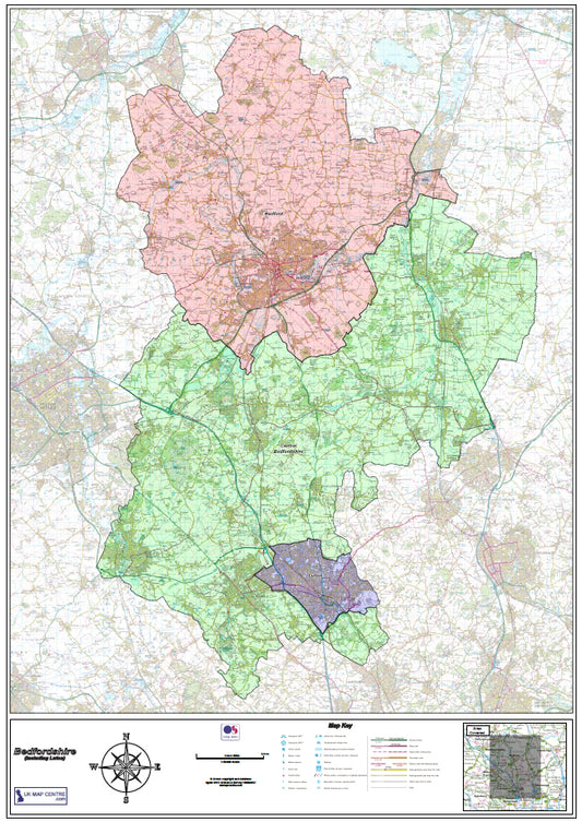
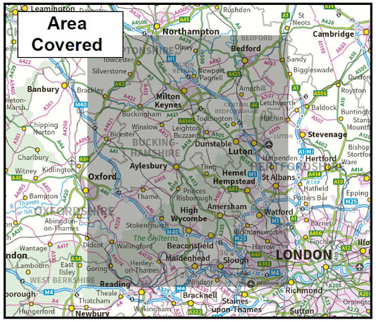
Bedfordshire County Map - Digital Download
Regular price £9.99Regular price -
Berkshire County Boundary Map - Digital Download
Regular price £9.99Regular price -
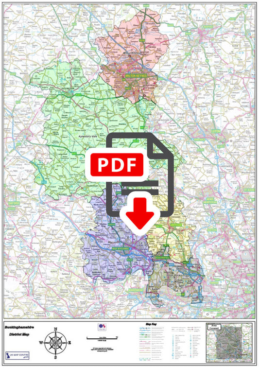
Buckinghamshire County Boundary Map - Digital Download
Regular price £9.99Regular price -
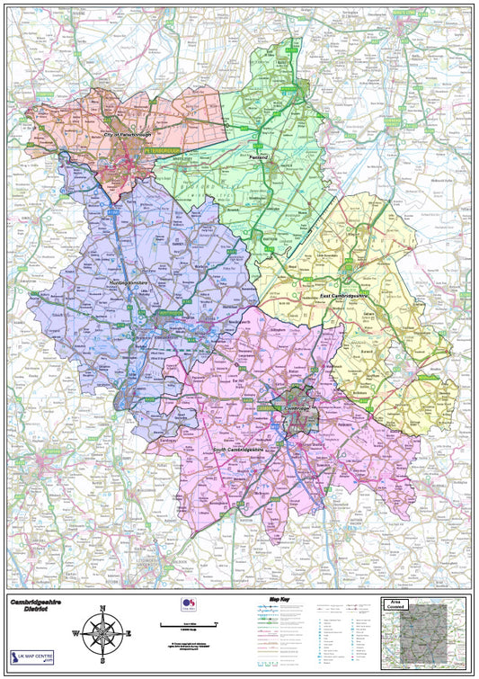
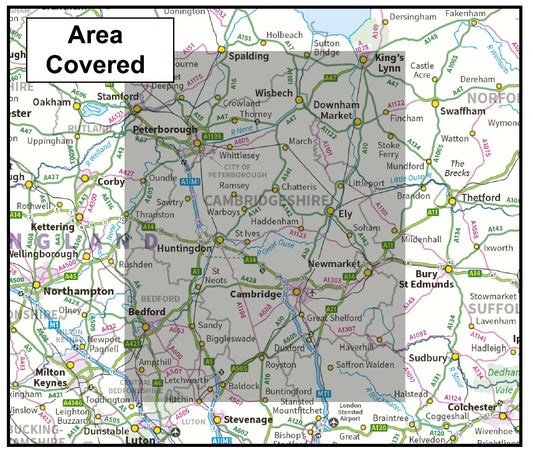
Cambridgeshire County Map - Digital Download
Regular price £9.99Regular price -
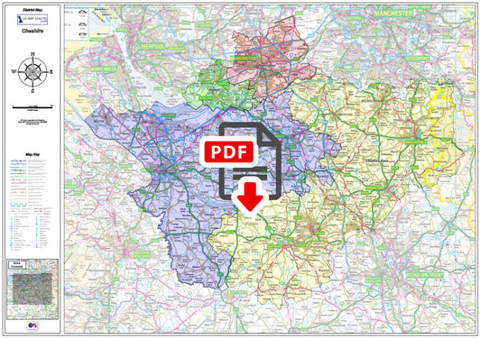
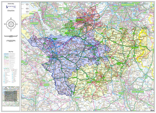
Cheshire County Boundary Map - Digital Download
Regular price £9.99Regular price -
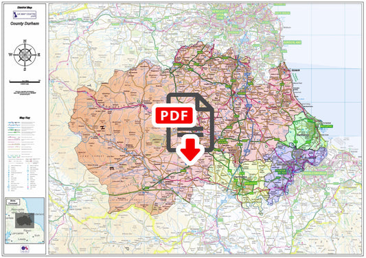
County Durham Boundary Map - Digital Download
Regular price £9.99Regular price -
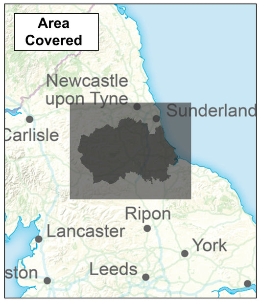
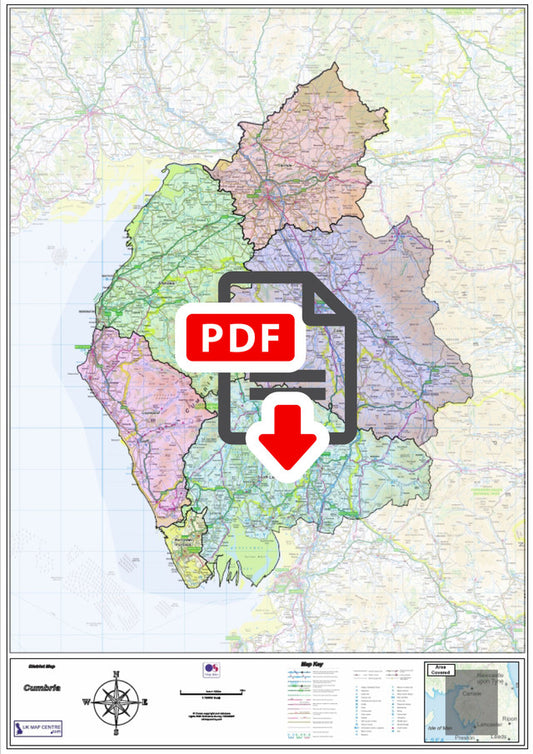
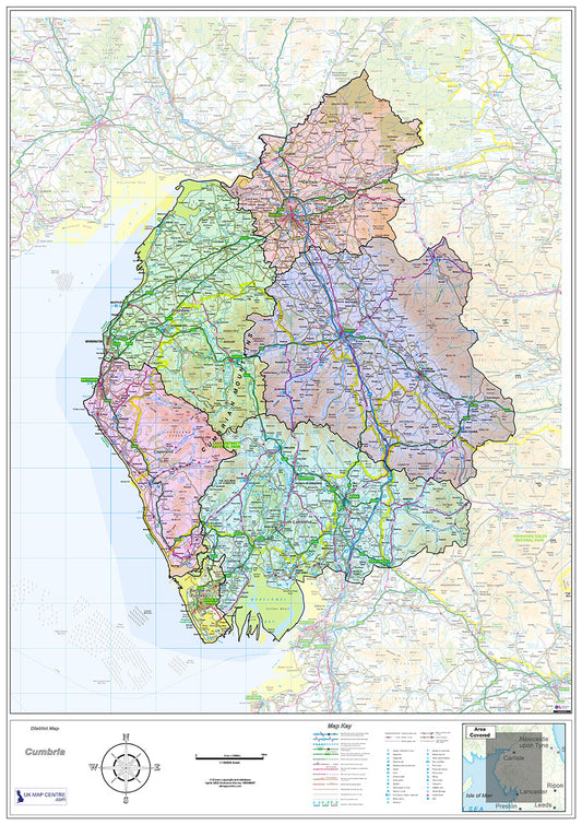
Cumbria County Boundary Map - Digital Download
Regular price £9.99Regular price -
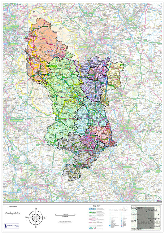
Derbyshire County Map - Digital Download
Regular price £9.99Regular price -
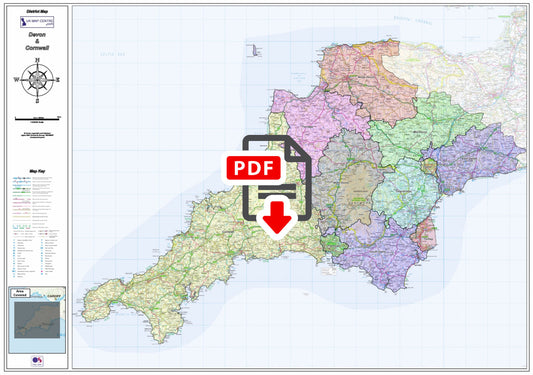
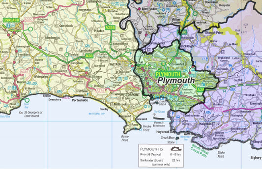
Devon and Cornwall County Boundaries Map - Digital Download
Regular price £9.99Regular price -
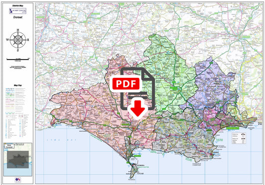
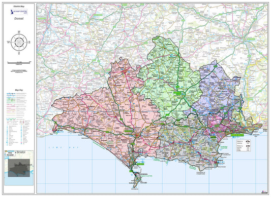
Dorset County Boundary Map - Digital Download
Regular price £9.99Regular price -
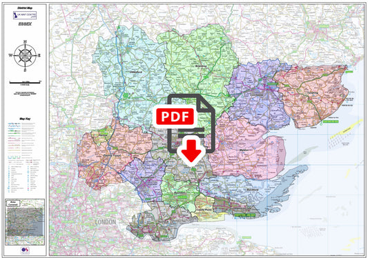
Essex County Boundary Map - Digital Download
Regular price £9.99Regular price -
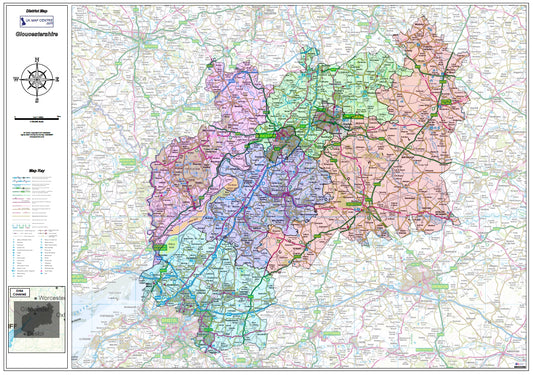
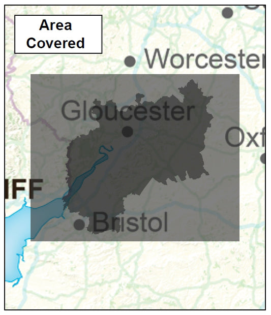
Gloucestershire County Boundary Map - Digital Download
Regular price £9.99Regular price -
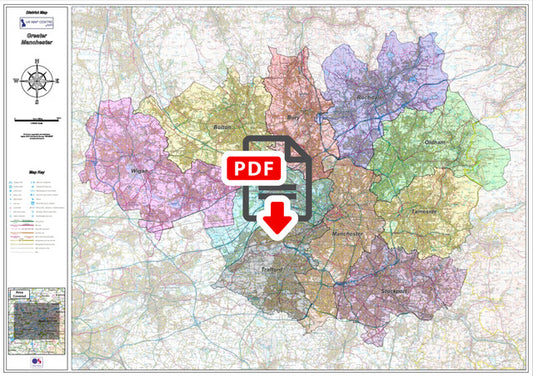
Greater Manchester District Admin Map - Digital Download
Regular price £9.99Regular price -
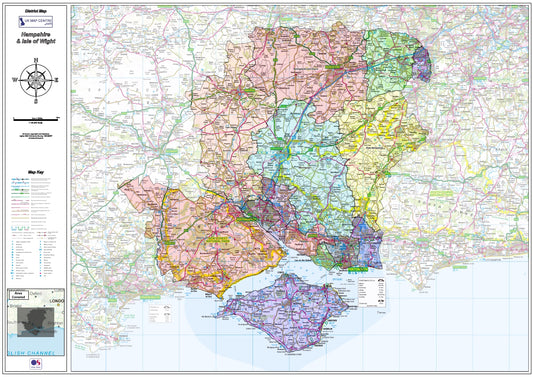
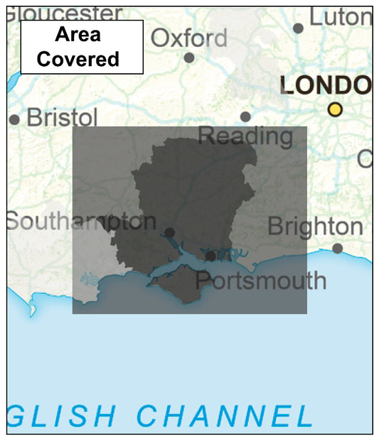
Hampshire and Isle of Wight County Map - Digital Download
Regular price £9.99Regular price -
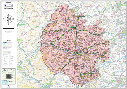
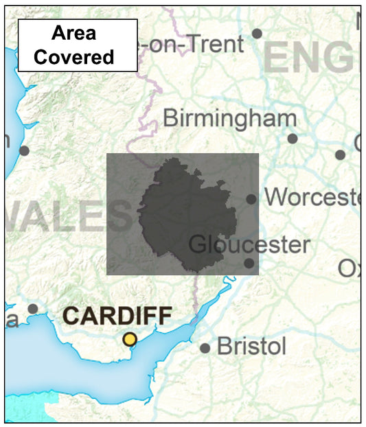
Herefordshire County Map - Digital Download
Regular price £9.99Regular price -
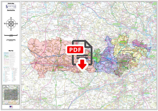
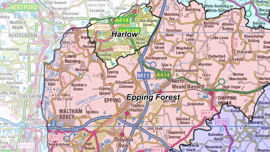
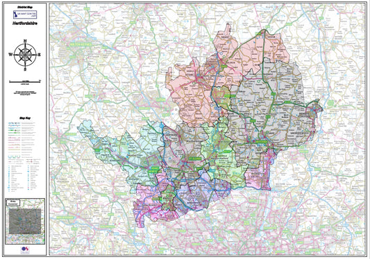
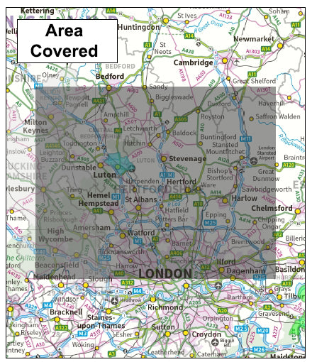
Hertfordshire County Map - Digital Download
Regular price £9.99Regular price -
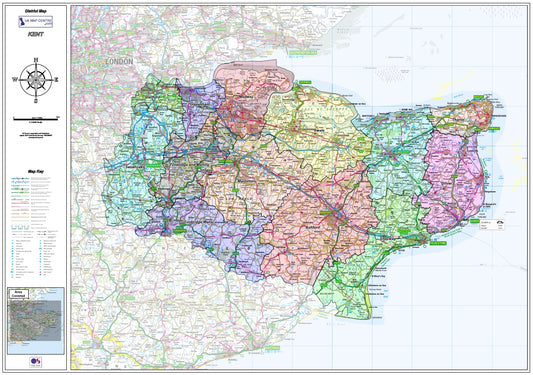
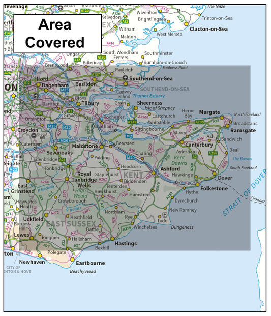
Kent County Boundary Map - Digital Download
Regular price £9.99Regular price -
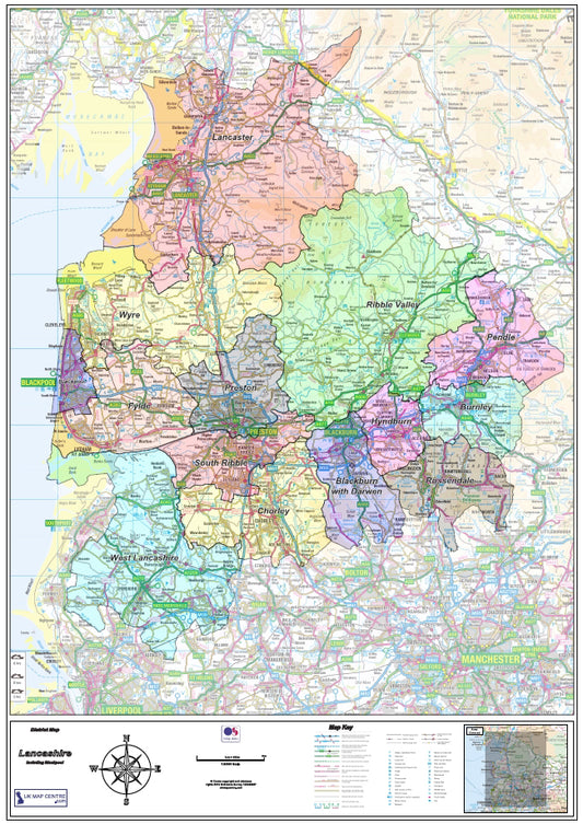
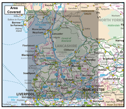
Lancashire County Map - Digital Download
Regular price £9.99Regular price -
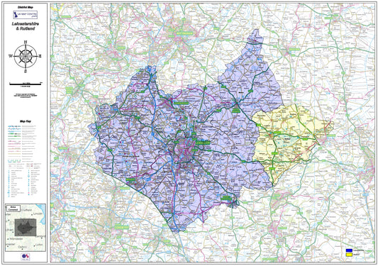
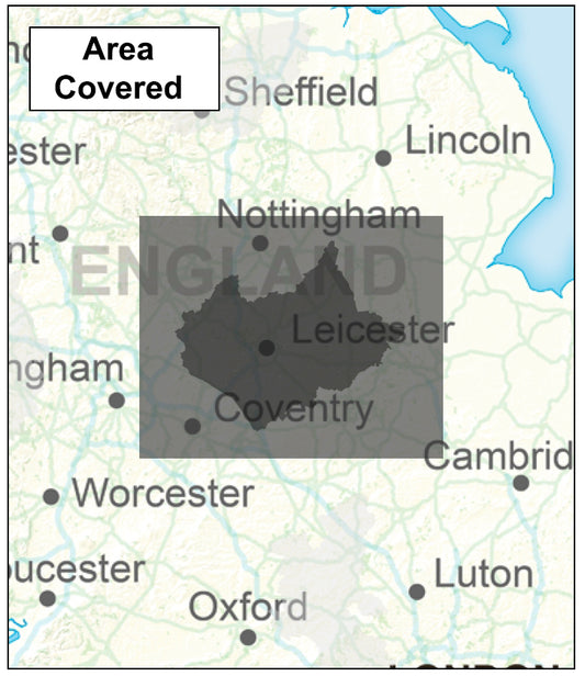
Leicestershire and Rutland Counties Map - Digitial Download
Regular price £9.99Regular price -
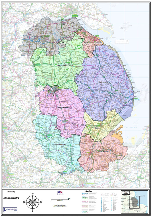
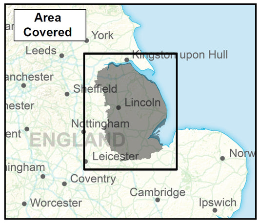
Lincolnshire County Map - Digital Download
Regular price £9.99Regular price -
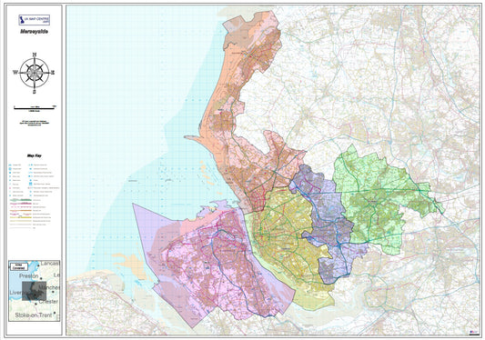
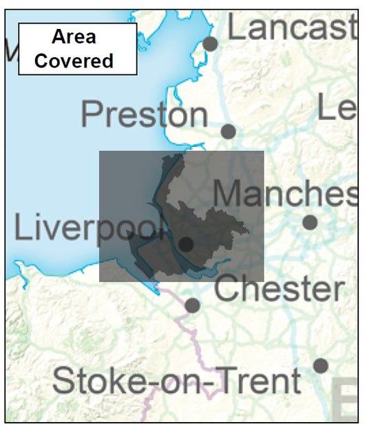
Merseyside District Map - Digital Download
Regular price £9.99Regular price -
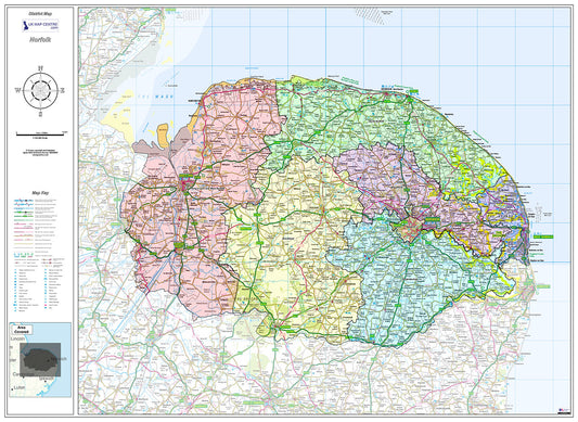
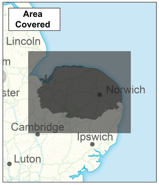
Norfolk County Map - Digital Download
Regular price £9.99Regular price -
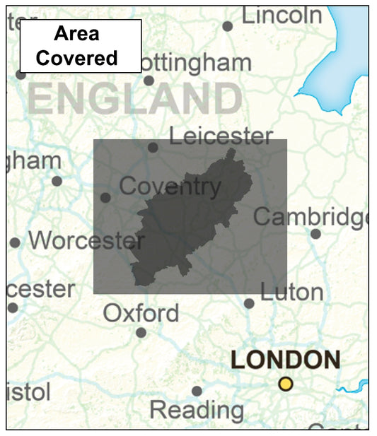
Northamptonshire County Map - Digital Download
Regular price £9.99Regular price -
Northumberland County Map - Digital Download
Regular price £9.99Regular price