Collection: Road Maps
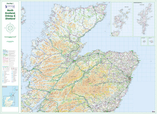
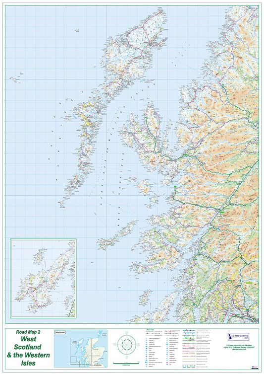
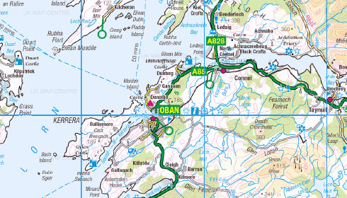
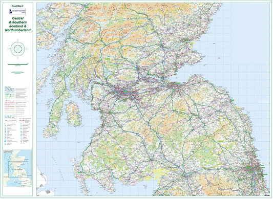
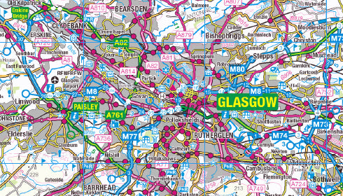
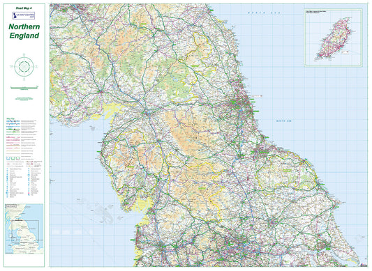
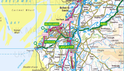
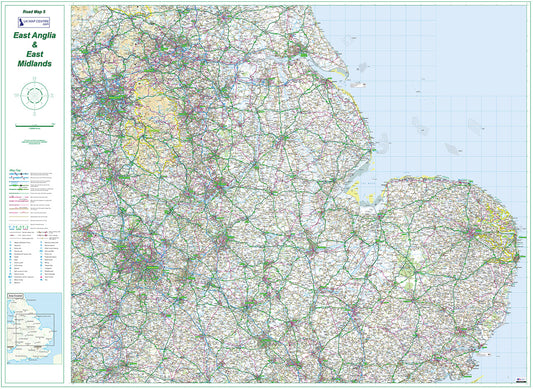
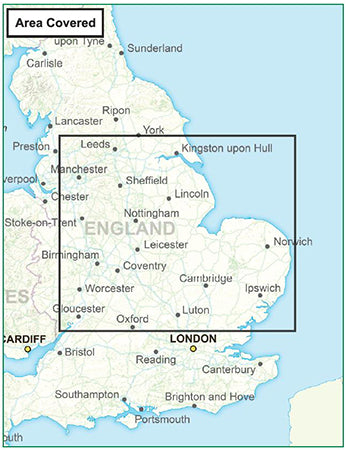
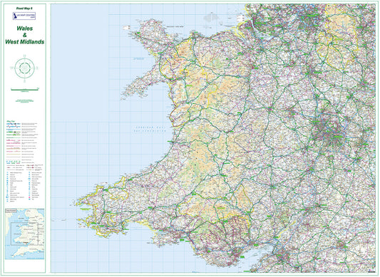
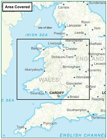
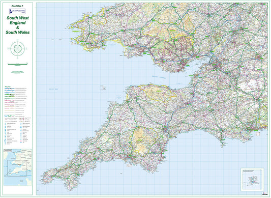
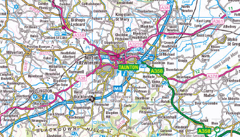
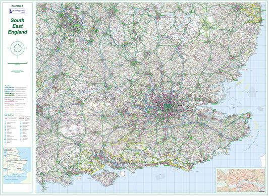
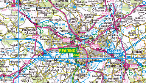
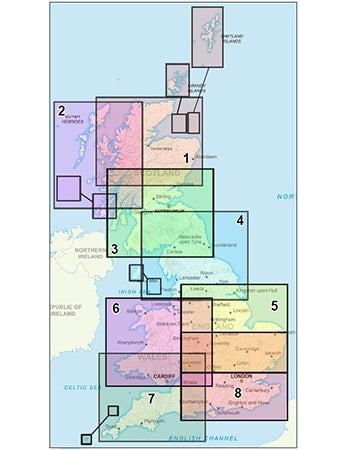
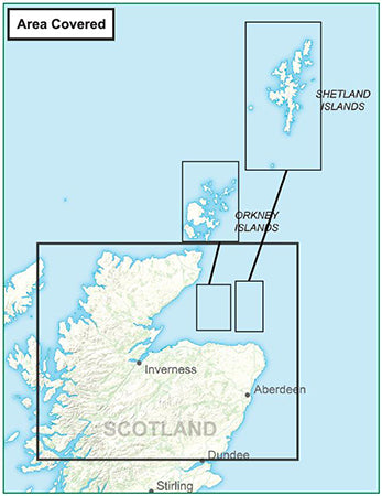
Our OS Road Map series covers the entire United Kingdom in 8 regional sheets, from Northern Scotland, Orkney and Shetland down to South East England. Each map is produced using up-to-date Ordnance Survey Road mapping at 1:250,000 scale, clearly showing the road and rail networks alongside cities, towns and villages across each region.
Available in both colour and greyscale, each map is delivered as a high-resolution 300 dpi PDF. When printed, each sheet measures 1,400mm x 1,000mm large enough to display on a wall or use as a busy office reference.
Individual sheets are available at £9.99 each, or you can purchase the complete 8-map series as a full UK set. All maps use up-to-date Ordnance Survey data and are available for instant download on order completion.
Common uses include logistics and route planning, fleet management, sales territory overview, travel planning, and general UK geography reference.
-
Road Map 1 - Northern Scotland, Orkney & Shetland - Digital Download
Regular price £9.99Regular priceSale price £9.99 -
Road Map 2 - Western Scotland & the Western Isles - Digital Download
Regular price £9.99Regular priceSale price £9.99 -
Road Map 3 - Southern Scotland & Northumberland - Digital Download
Regular price £9.99Regular priceSale price £9.99 -
Road Map 4 - Northern England - Digital Download
Regular price £9.99Regular priceSale price £9.99 -
Road Map 5 - East Midlands & East Anglia - Digital Download
Regular price £9.99Regular priceSale price £9.99 -
Road Map 6 - Wales & West Midlands - Digital Download
Regular price £9.99Regular priceSale price £9.99 -
Road Map 7 - South West England and South Wales - Digital Download
Regular price £9.99Regular priceSale price £9.99 -
Road Map 8 - South East England - Digital Download
Regular price £9.99Regular priceSale price £9.99 -
Road Map Series - Full UK - Digital Download
Regular price £79.92Regular priceSale price £79.92
Subscribe to our emails
Be the first to know about new collections and exclusive offers.


