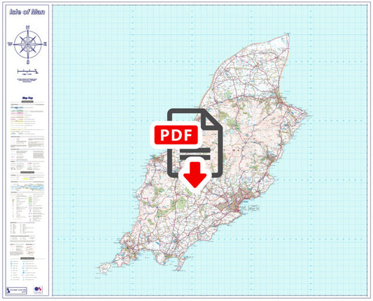
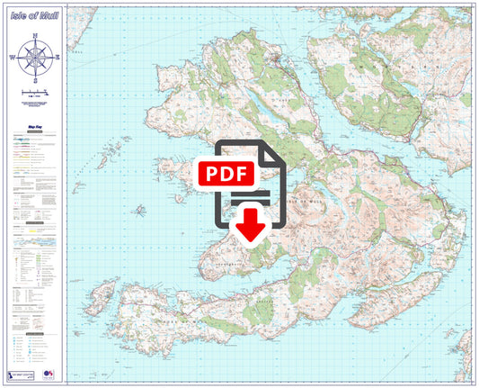
Collection: Island Maps
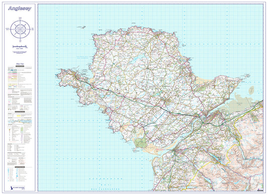
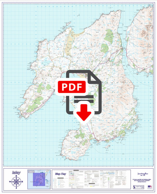
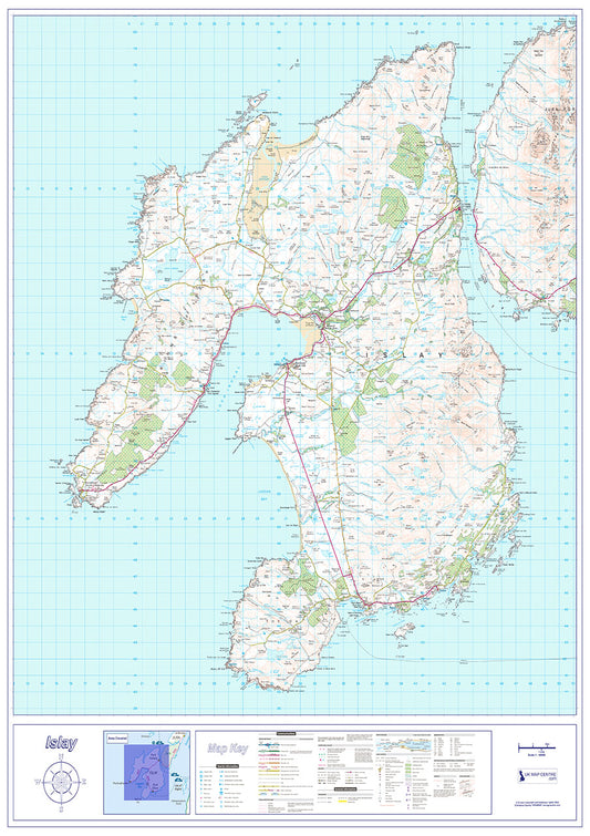
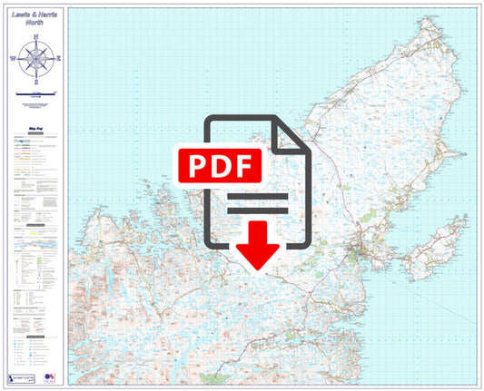
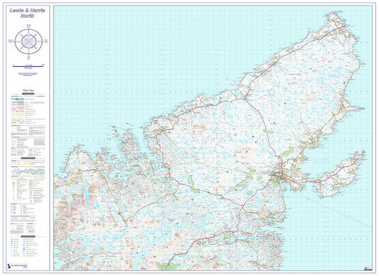
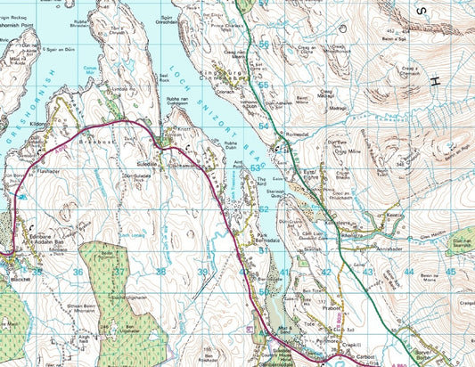
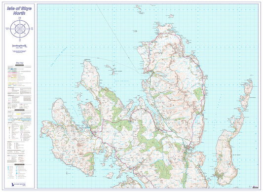
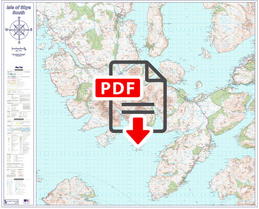
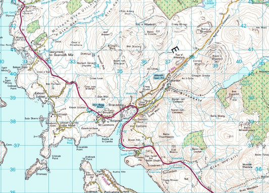
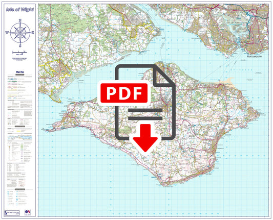
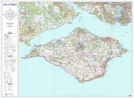
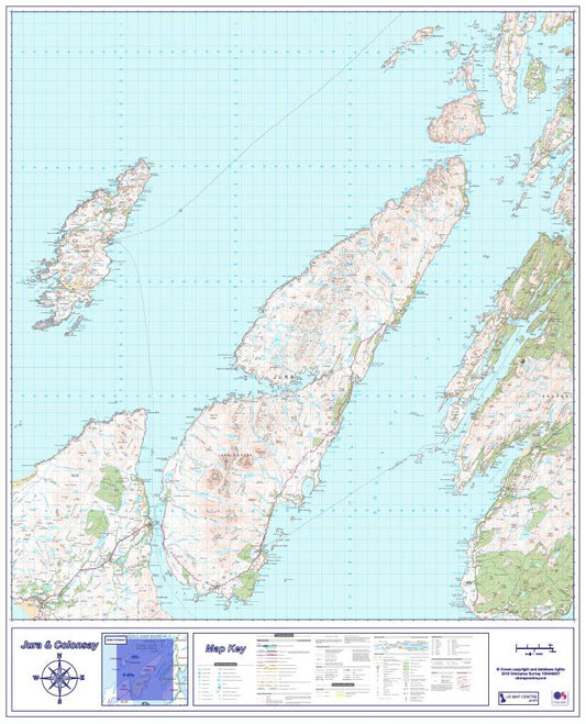
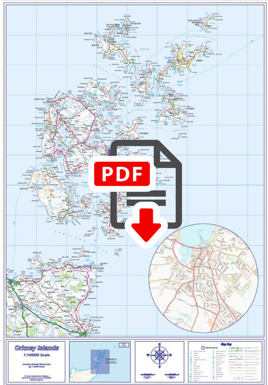
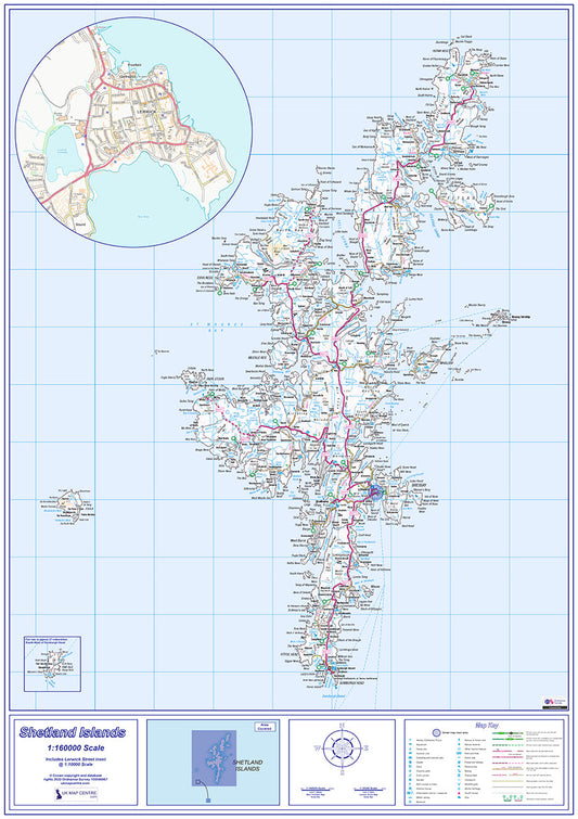
Our Island Maps collection covers 14 of the UK's most popular and visited islands, from the Scottish Hebrides and Northern Isles down to the Isle of Man and Isle of Wight. Each map is produced using Ordnance Survey data at 1:50,000 scale the same level of detail commonly used for walking and outdoor activity maps.
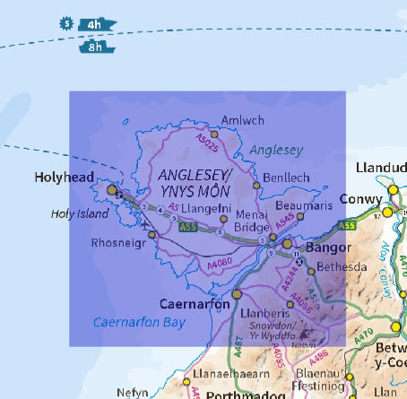
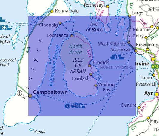
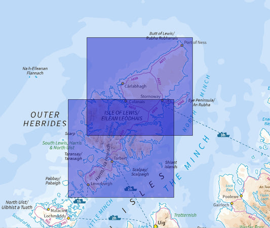
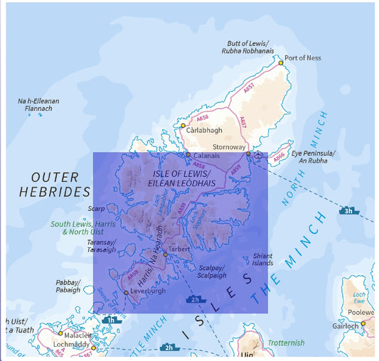
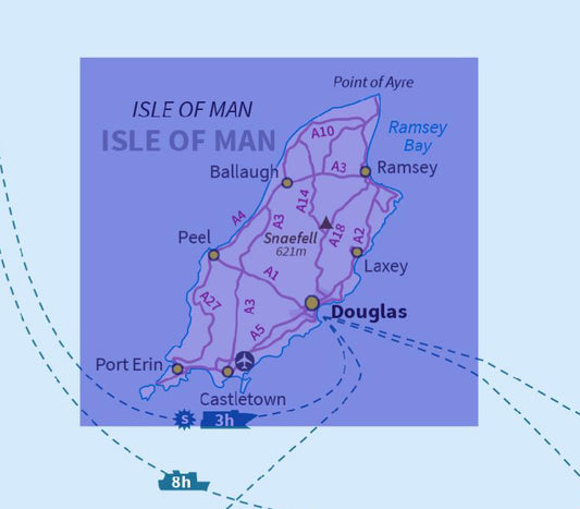
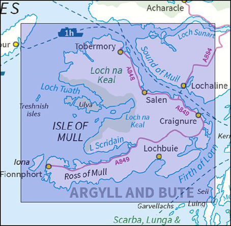
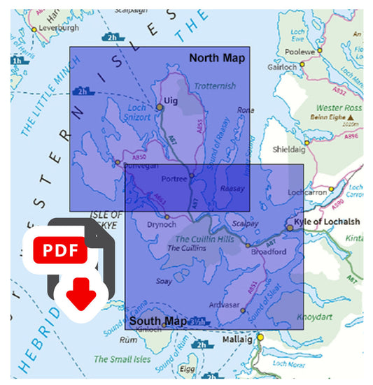
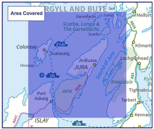
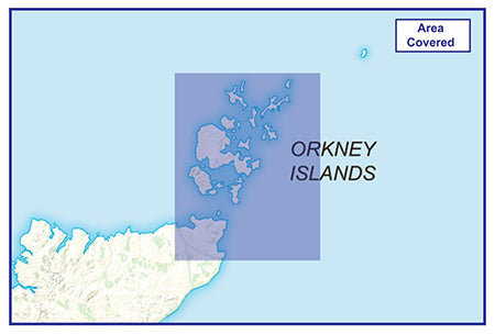
Whether you're planning a trip to the Isle of Skye, exploring the whisky islands of Islay and Jura, or heading to Orkney or Shetland, our maps give you the detail you need to make the most of your visit. Several islands are available as individual maps or as a north/south series for complete coverage.
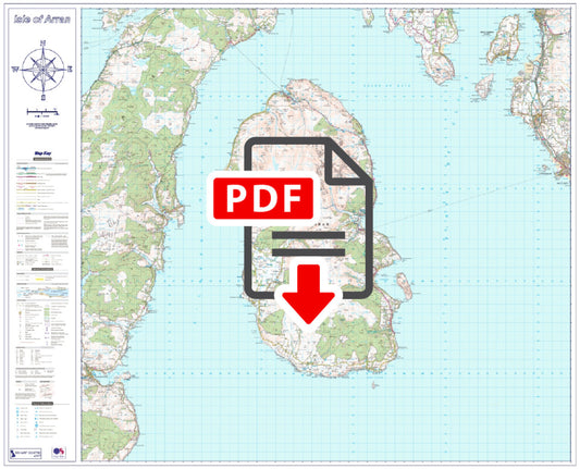
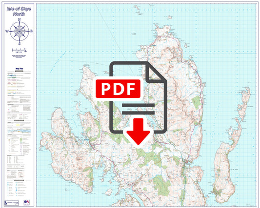
All maps are supplied as high-resolution 300 dpi PDFs, large enough for wall display or practical use in the field when printed at actual size. Maps are available for instant download at £9.99, with some compact island maps from £7.99.