-
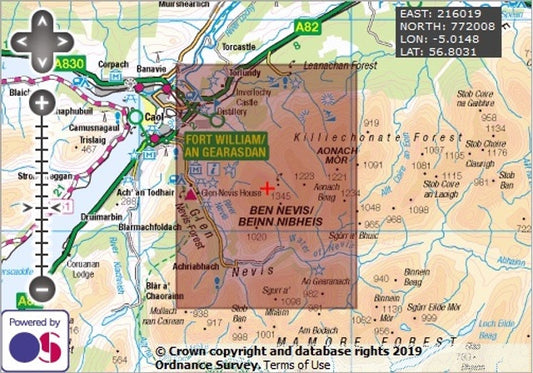
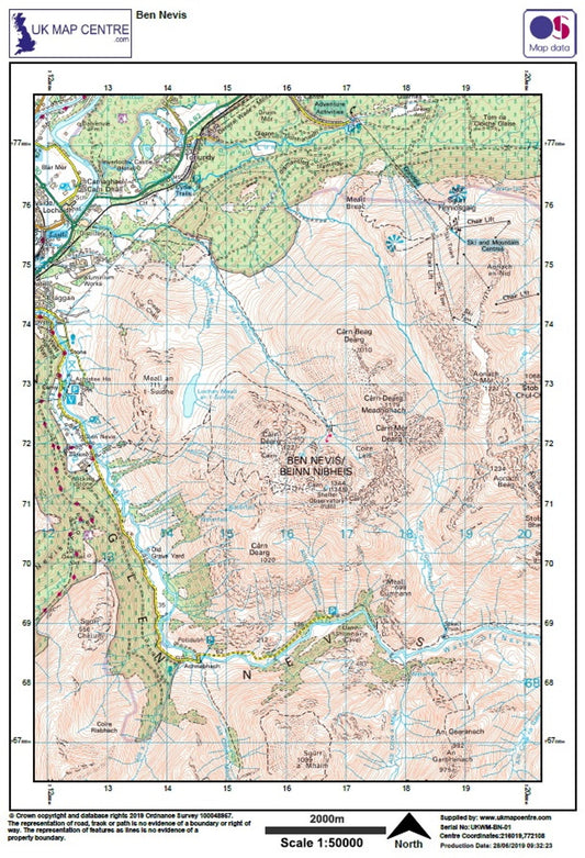
Ben Nevis- OS Walking Map Download
Regular price £2.00Regular price -
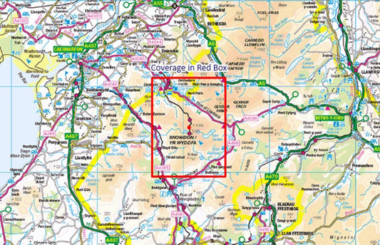
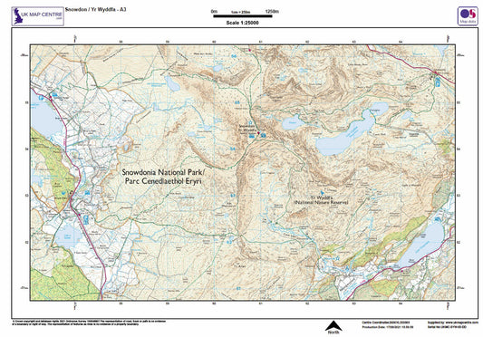
Snowdon / Yr Wyddfa - OS Walking Map Download
Regular price £2.00Regular price -
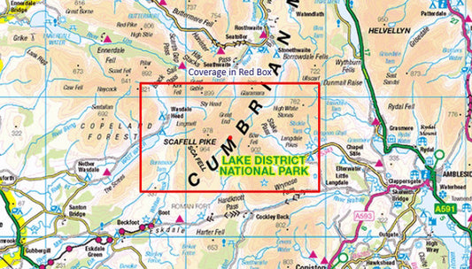
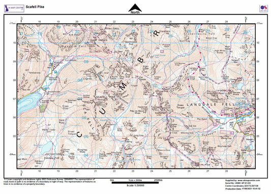
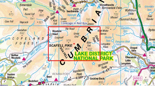
Scafell Pike - OS Walking Map Download
Regular price £2.00Regular price -
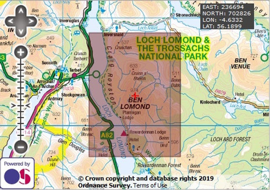
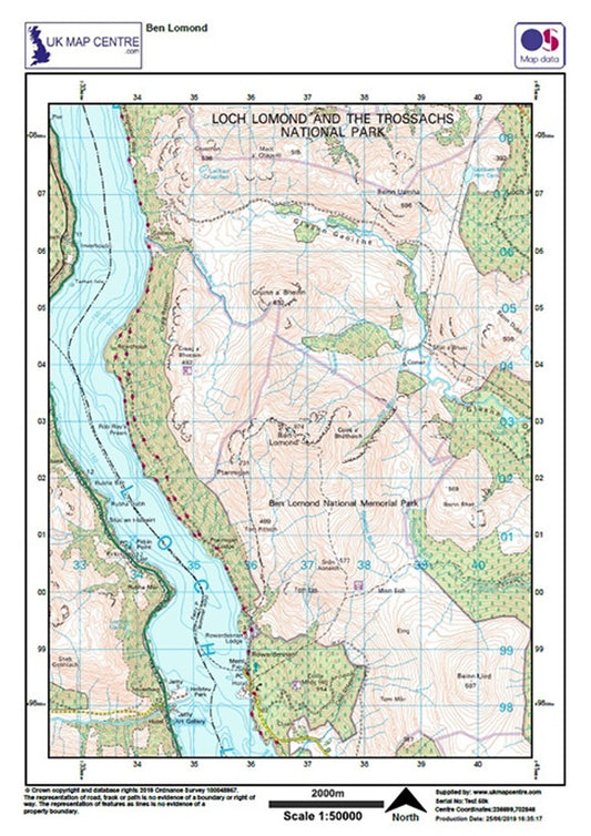
Ben Lomond - OS Walking Map Download
Regular price £2.00Regular price -
Munros Map
Regular price From £7.99Regular price -
Scafell Pike 25k A3 - OS Walking Map Download
Regular price £3.00Regular price -
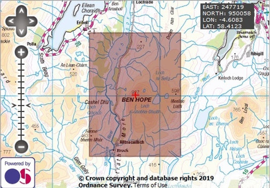
Ben Hope - OS Walking Map Download
Regular price £2.00Regular price -
Snowdon / Yr Wyddfa 25k Southern and Eastern Routes - OS Walking Map Download
Regular price £3.00Regular price -
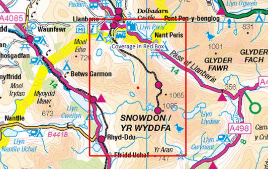
Snowdon / Yr Wyddfa 25k North Route - OS Walking Map Download
Regular price £3.00Regular price -
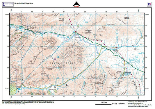
Buachaille Etive Mor - OS Walking Map Download
Regular price £2.00Regular price -
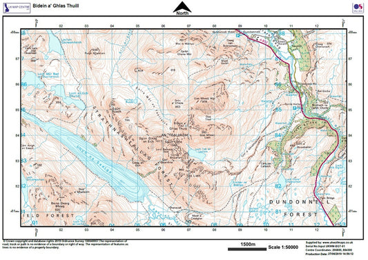
Bidein a' Ghlas Thuill - OS Walking Map Download
Regular price £2.00Regular price -
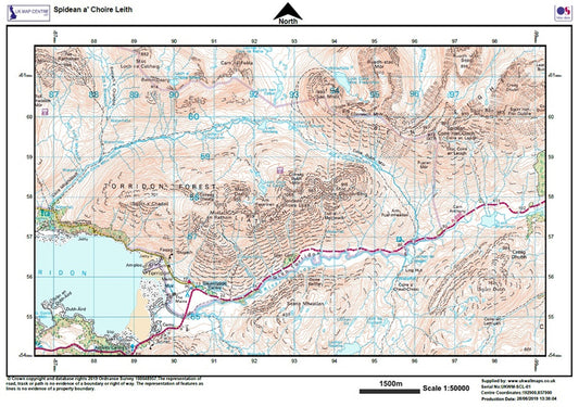
Spidean a' Choire Leith (Liathach) - OS Walking Map - Digital Download
Regular price £2.00Regular price -
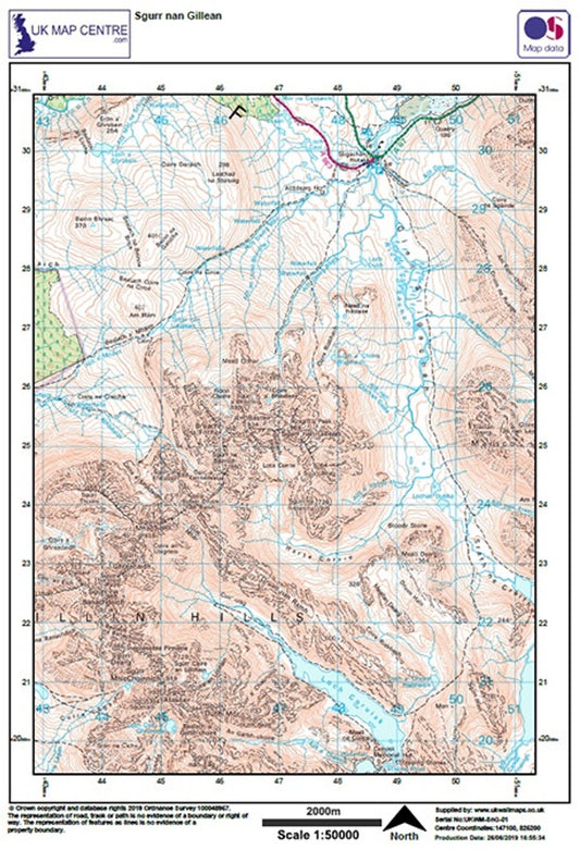
Sgurr nan Gillean - OS Walking Map Download
Regular price £2.00Regular price -
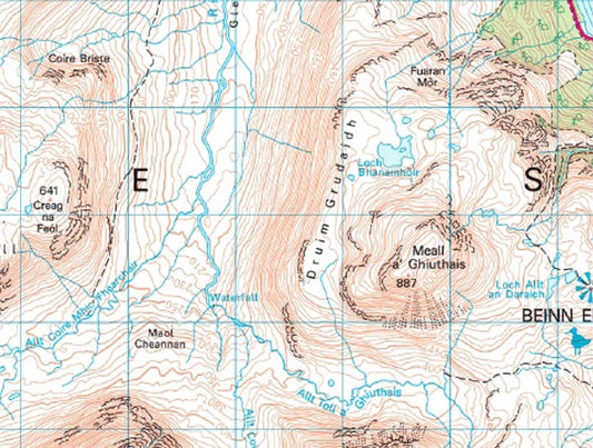
Ruadh-stac-Mor (Beinn Eighe) - OS Walking Map Download
Regular price £2.00Regular price -
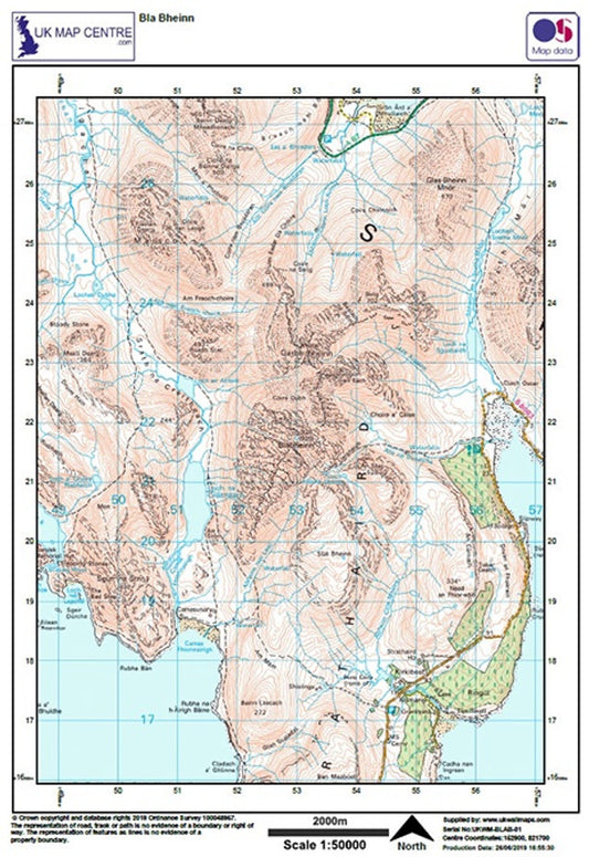
Bla Bheinn - OS Walking Map Download
Regular price £2.00Regular price