Collection: Regional Admin Maps
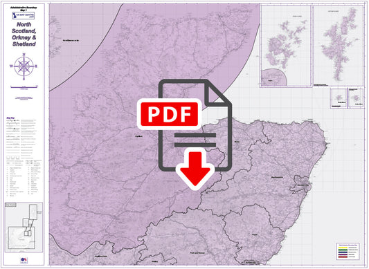
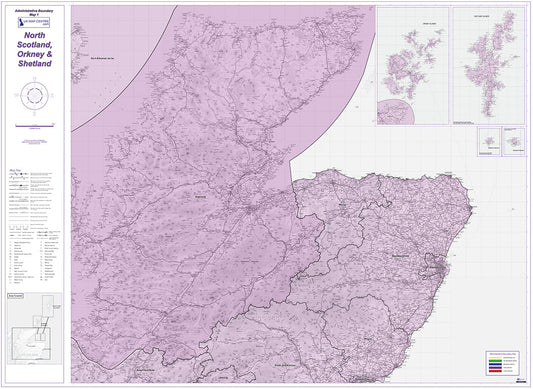
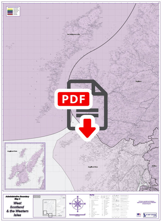
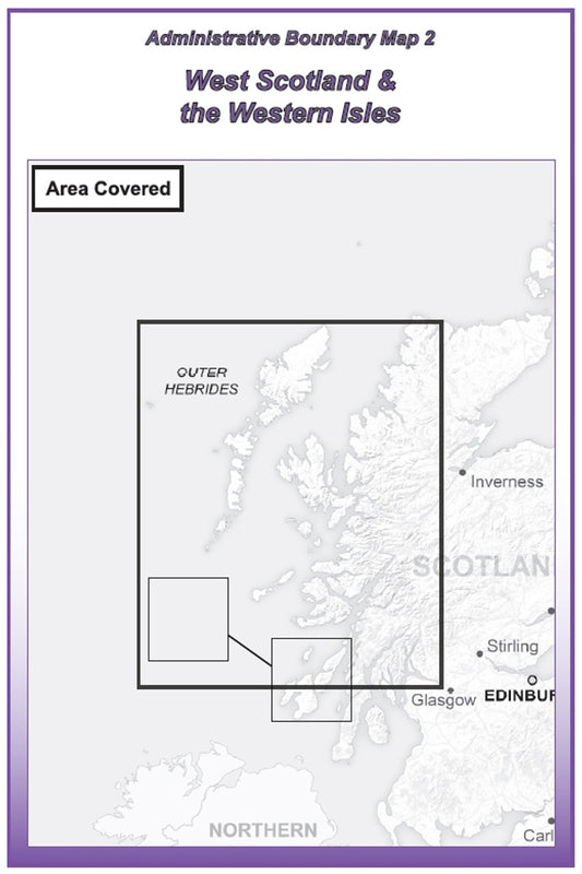
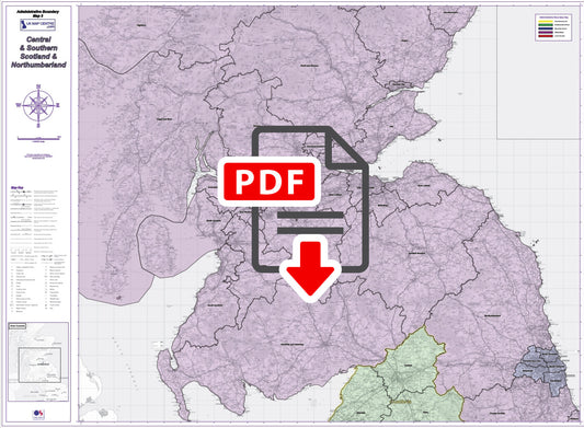
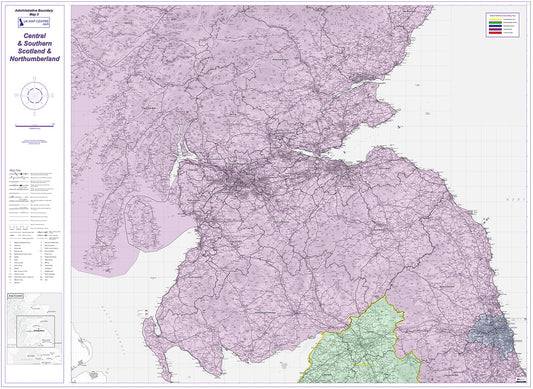
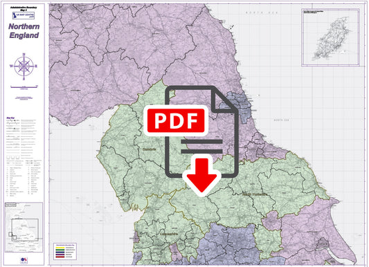
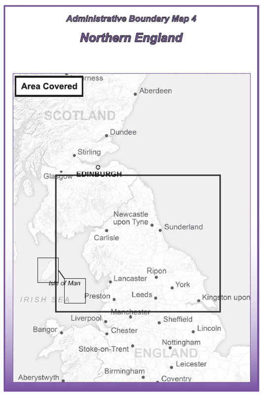
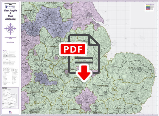
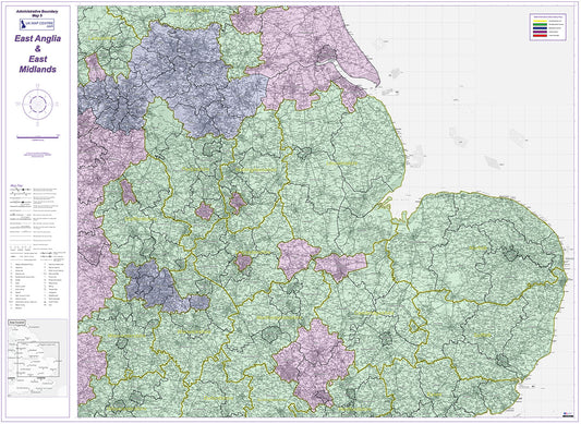
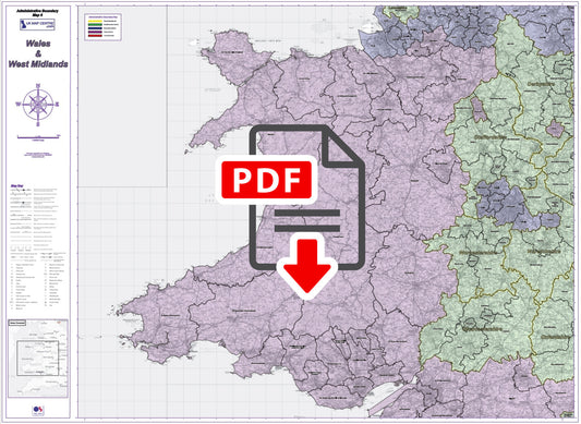
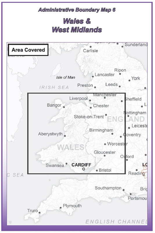
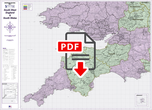
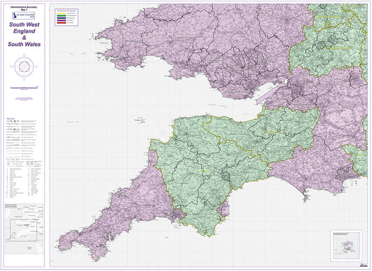
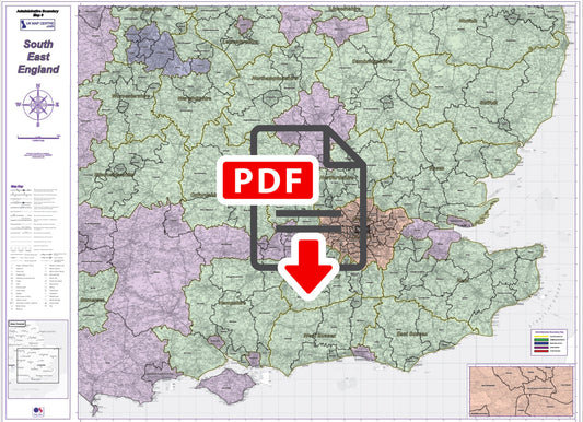
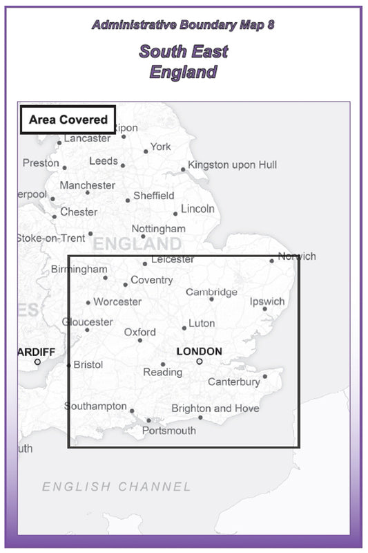
Our Regional Admin Boundary Maps cover the United Kingdom in 8 sheets, from Northern Scotland and the Western Isles down to South East England. Each map uses Ordnance Survey Road mapping at 1:250,000 scale as the base layer, with unitary administrative boundaries clearly highlighted in pink.
These maps are ideal for businesses and organisations that need a clear picture of local authority and unitary authority boundaries at a regional level. Whether you're planning field operations, allocating resources across administrative areas, or need a reference for local government boundaries, this series provides the clarity and detail you need.
All maps are supplied as high-resolution 300 dpi PDFs. When printed at actual size, each sheet measures 1,400mm x 1,000mm suitable for wall display or use in a busy office environment. Each map is available for instant download at £9.99 on order completion.
-
Admin Boundary Map 1 - North Scotland, Orkney & Shetland - Digital Download
Regular price £9.99Regular priceSale price £9.99 -
Admin Boundary Map 2 - Western Scotland & The Western Isles - Digital Download
Regular price £9.99Regular priceSale price £9.99 -
Admin Boundary Map 3 - Southern Scotland & Northumberland - Digital Download
Regular price £9.99Regular priceSale price £9.99 -
Admin Boundary Map 4 - Northern England - Digital Download
Regular price £9.99Regular priceSale price £9.99 -
Admin Boundary Map 5 - East Midlands & East Anglia - Digital Download
Regular price £9.99Regular priceSale price £9.99 -
Admin Boundary Map 6 - Wales & West Midlands - Digital Download
Regular price £9.99Regular priceSale price £9.99 -
Admin Boundary Map 7 - South West England & South Wales - Digital Download
Regular price £9.99Regular priceSale price £9.99 -
Admin Boundary Map 8 - South East England - Digital Download
Regular price £9.99Regular priceSale price £9.99
Subscribe to our emails
Be the first to know about new collections and exclusive offers.


