Collection: Central London Postcode City Street Maps
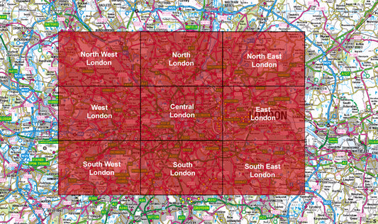
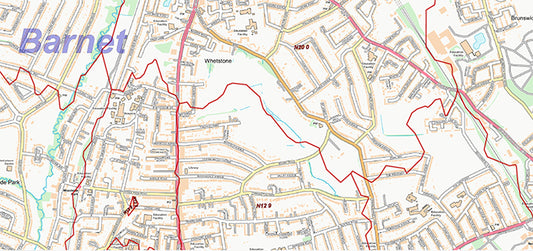
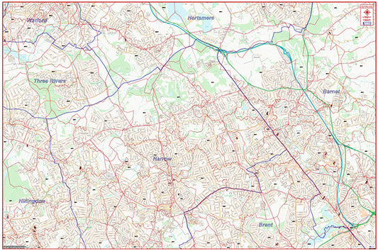
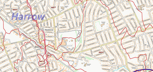
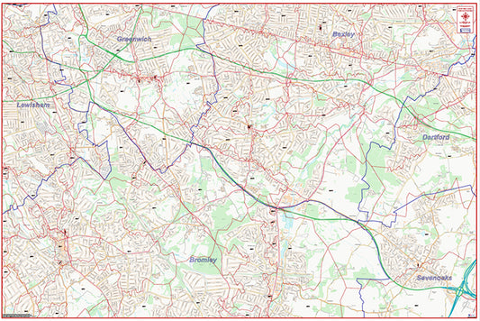
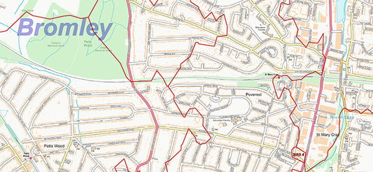
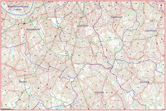
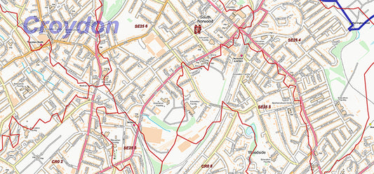
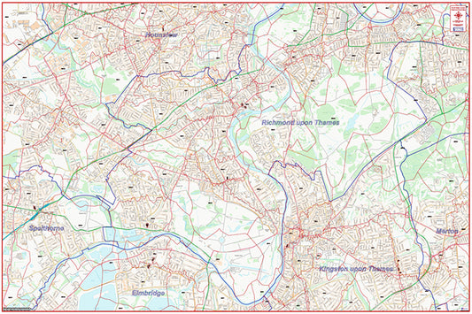
The London Postcode City Street Map series covers Greater London across 9 detailed regional maps, combining Ordnance Survey Street View mapping with postcode sector boundaries to produce one of the most comprehensive postcode map resources available for the capital.
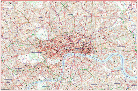
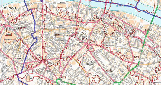
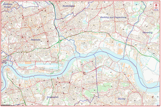
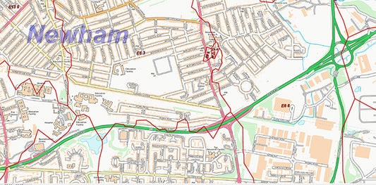
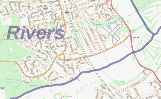
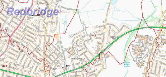
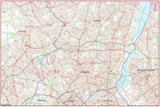
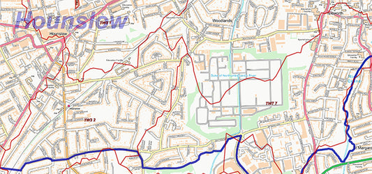
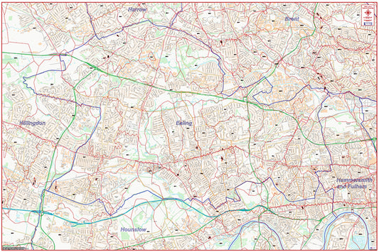
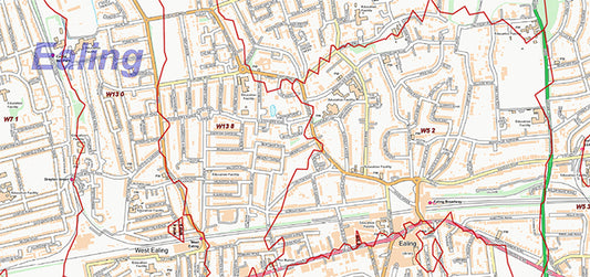
Each map uses OS StreetView data at 1:10,000 scale — the same mapping used by urban planners, logistics operations, and local authorities. At this level of detail, every road name is clearly visible alongside postcode sector boundaries, public buildings, transport infrastructure, and key landmarks. All maps are supplied as high-resolution 300 dpi PDFs, available for instant download.
The nine maps in the series cover Central London, East London, North East London, North London, North West London, South East London, South London, South West London, and West London. Each map prints to 1500mm × 1000mm — ideal for display in offices, operations centres, or planning rooms. The full series is also available as a discounted bundle.
These maps are widely used by logistics and courier companies planning last-mile delivery routes, field sales teams managing territory within specific sectors, marketing teams targeting direct mail campaigns, property professionals mapping catchment areas, and contact centres defining local coverage zones.
All maps are produced by UK Maps, an authorised Ordnance Survey Licensed Partner with over 20 years' experience supplying mapping to businesses and organisations across the UK.