Collection: Postcode Area Maps
UK Postcode Area Maps
UK postcode area maps show the largest geographic regions within the UK postcode system, dividing the country into 124 postcode areas such as AB (Aberdeen), B (Birmingham), and SW (London). These maps are widely used for sales territory planning, logistics, and regional analysis, providing a clear overview of postcode coverage across different parts of the UK.
Our collection includes a full range of postcode area maps, from nationwide UK coverage to regional and country-specific maps, as well as compact versions for quick reference. All maps are based on Ordnance Survey mapping and supplied as high-resolution digital downloads suitable for printing and business use.
-
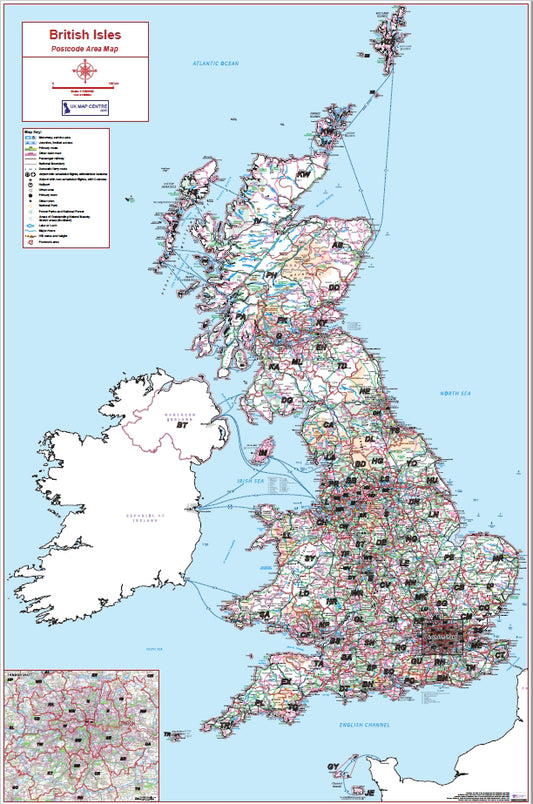
British Isles Postcode Area Map | UK & Islands Postcode Regions PDF
Regular price £9.99Regular priceSale price £9.99 -
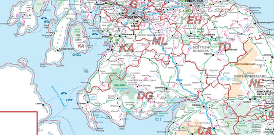
Compact Scotland Postcode Area Map | Scottish Postcode Regions PDF Download
Regular price £5.99Regular priceSale price £5.99 -
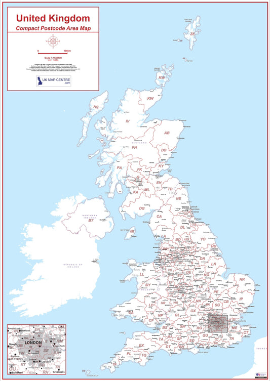
Compact UK Postcode Area Map | UK Postcode Regions PDF Download
Regular price £5.99Regular priceSale price £5.99 -
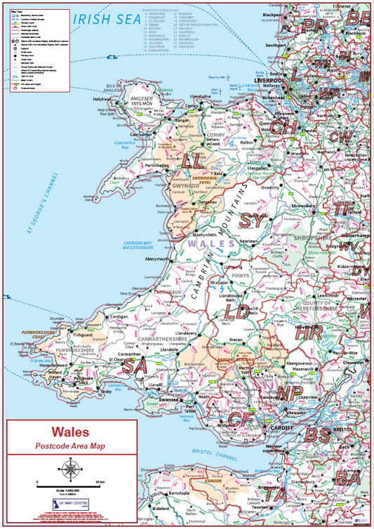
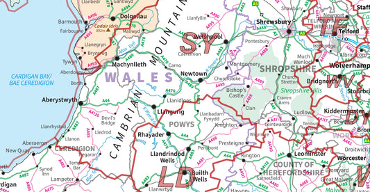
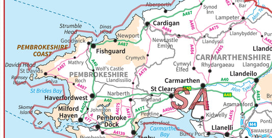
Compact Wales Postcode Area Map | Welsh Postcode Regions PDF Download
Regular price £5.99Regular priceSale price £5.99 -
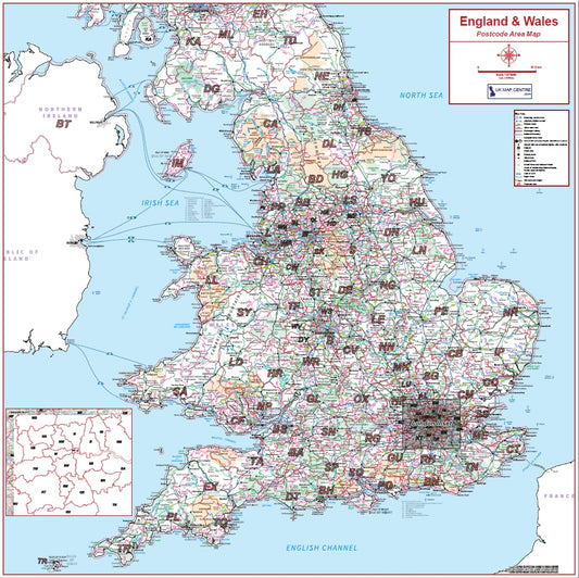
England & Wales Postcode Area Map | Full Postcode Regions Wall Map PDF
Regular price £9.99Regular priceSale price £9.99 -
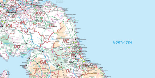
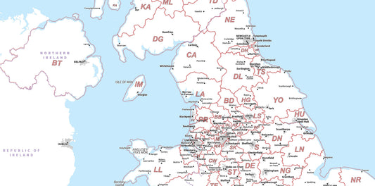
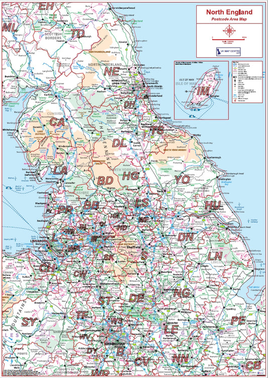
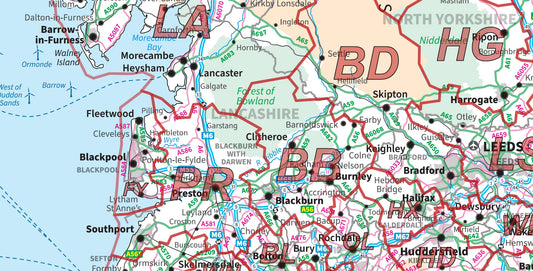
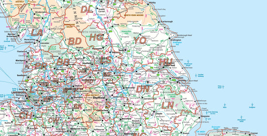
Northern England Postcode Area Map | UK North Postcode Regions PDF
Regular price £9.99Regular priceSale price £9.99 -
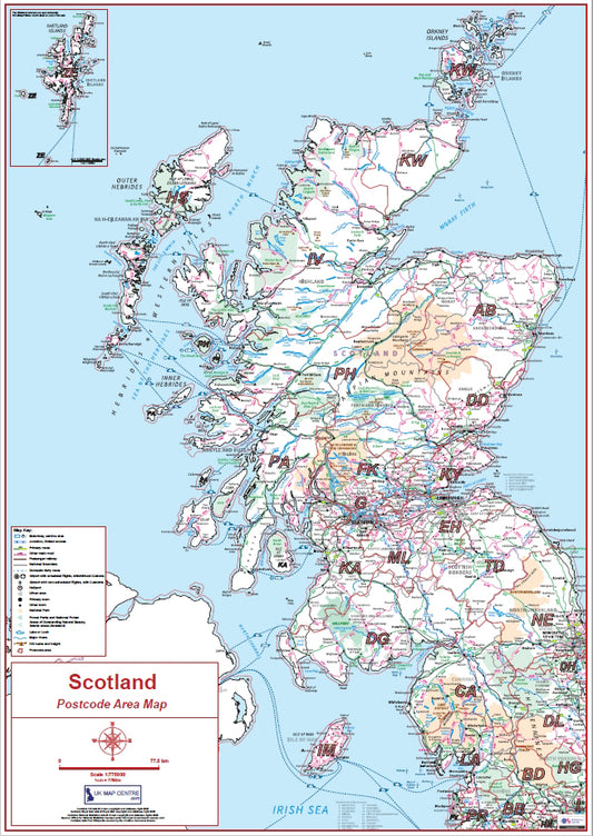
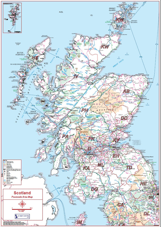
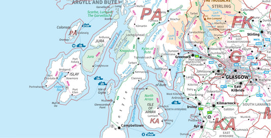
Scotland Postcode Area Map | All Scottish Postcode Regions PDF Download
Regular price £9.99Regular priceSale price £9.99 -
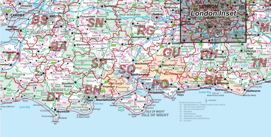
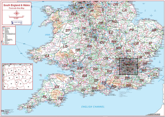
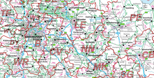
Southern England & Wales Postcode Area Map | UK South Postcode Regions PDF
Regular price £9.99Regular priceSale price £9.99 -
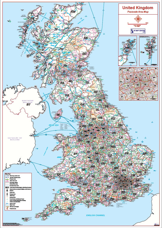
UK Postcode Area Map (Full UK) | 124 Postcode Regions Wall Map PDF
Regular price £9.99Regular priceSale price £9.99 -
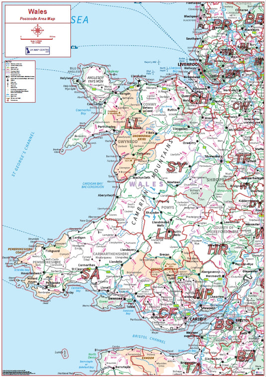
Wales Postcode Area Map | Welsh Postcode Regions Wall Map PDF
Regular price £9.99Regular priceSale price £9.99
Postcode Map Types
Full UK Coverage
- UK postcode area maps (all regions)
Regional Maps
- Northern England
- Southern England & Wales
- England & Wales
Country-Specific Maps
- England
- Scotland
- Wales
Compact Maps
- UK compact
- Scotland compact
- Wales compact
Caption
Which Postcode Map Do You Need?
- Detail level: Low
- Best for: National Planning
- Detail level: Medium
- Best for: Regional planning and sales territories
- Detail level: High
- Best for: Local targeting
Caption
Why Buy These Postcode Maps
- Ideal for National & Regional planning
- Used by logistics companies
- Based on Ordnance Survey mapping
- Accurate postcode boundaries


