-
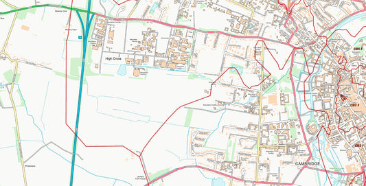
Central Cambridge City Street Map - Digital Download
Regular price £9.99Regular price -
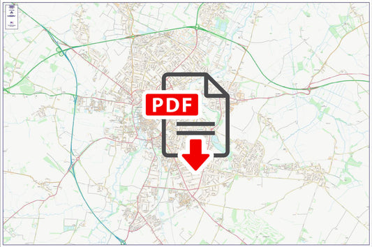
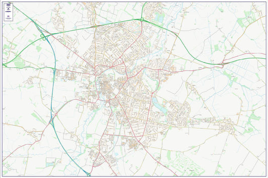
Central Aberdeen City Street Map - Digital Download
Regular price £9.99Regular price -
Central Aberdeen Postcode City Street Map - Digital Download
Regular price £9.99Regular price -
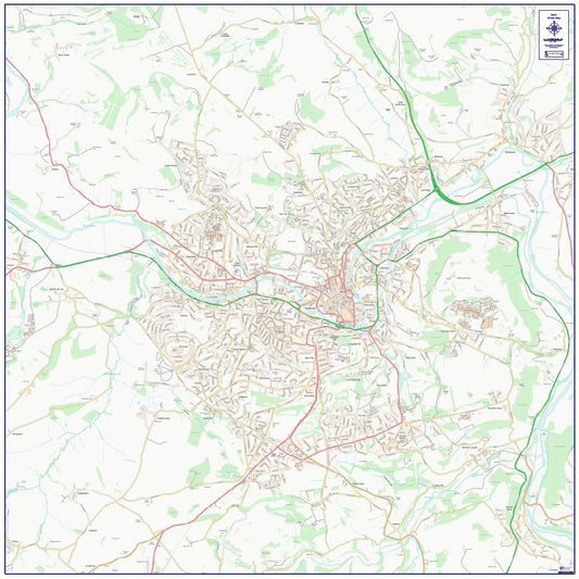
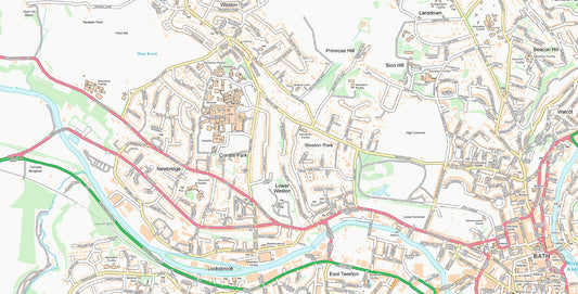
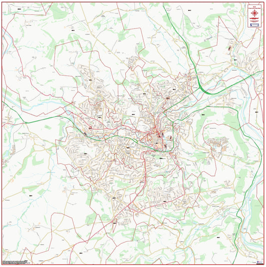
Central Bath City Street Map - Digital Download
Regular price £9.99Regular price -
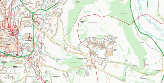
Central Bath Postcode City Street Map - Digital Download
Regular price £9.99Regular price -
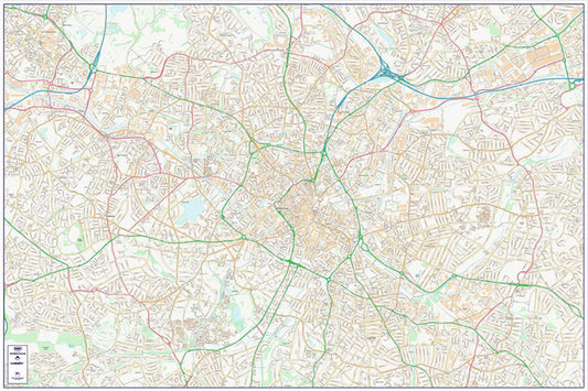
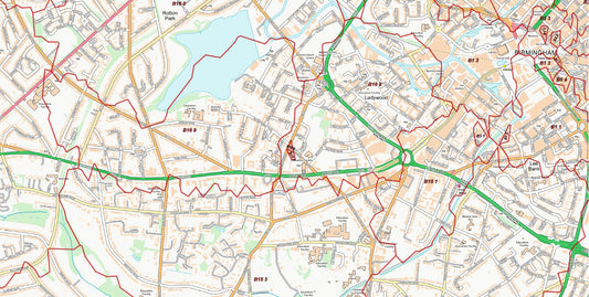
Central Birmingham City Street Map - Digital Download
Regular price £9.99Regular price -
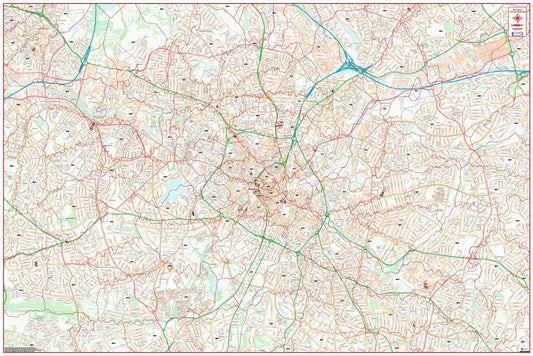
Central Birmingham Postcode City Street Map - Digital Download
Regular price £9.99Regular price -
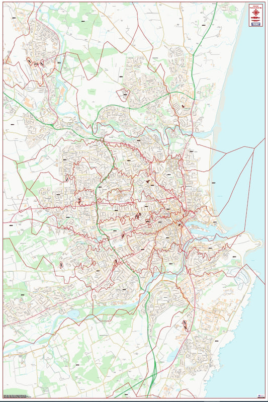
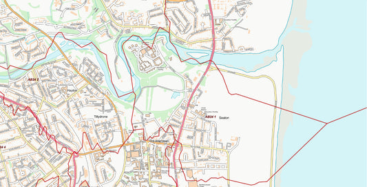
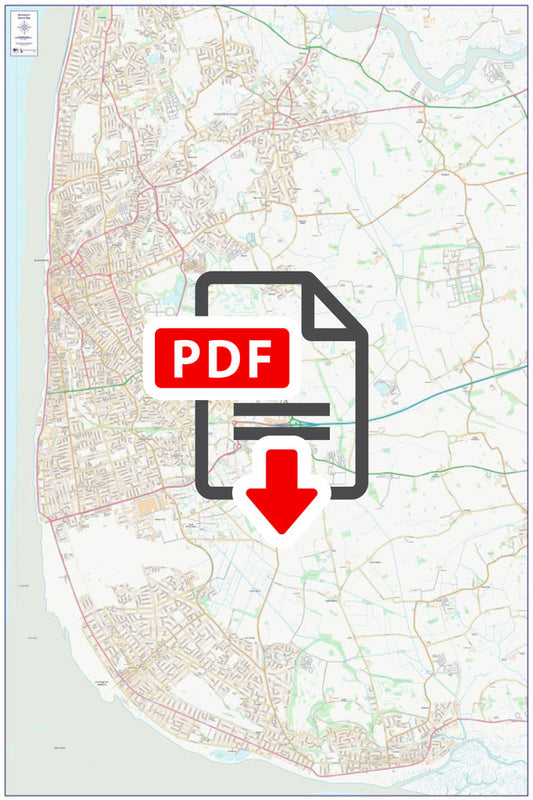
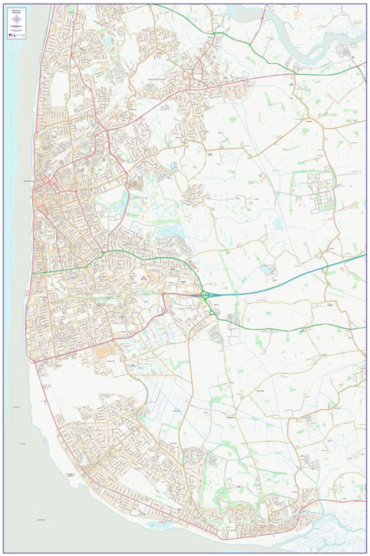
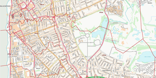
Central Blackpool City Street Map - Digital Download
Regular price £9.99Regular price -
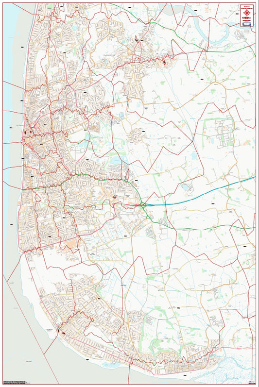
Central Blackpool Postcode City Street Map - Digital Download
Regular price £9.99Regular price -
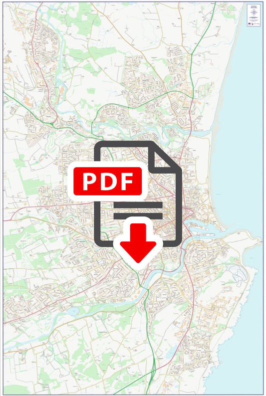
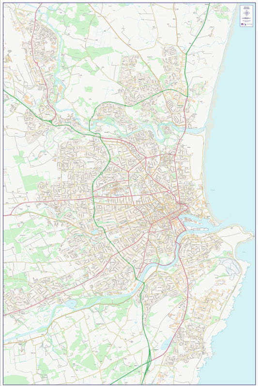
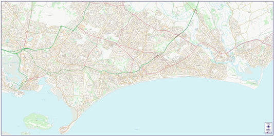
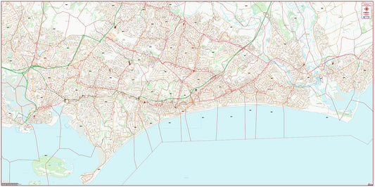
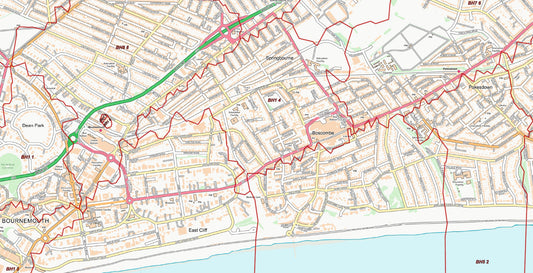
Central Bournemouth City Street Map - Digital Download
Regular price £9.99Regular price -
Central Bournemouth Postcode City Street Map - Digital Download
Regular price £9.99Regular price -
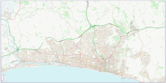
Central Brighton and Hove City Street Map - Digital Download
Regular price £9.99Regular price -
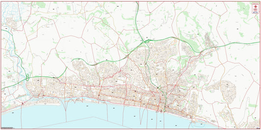
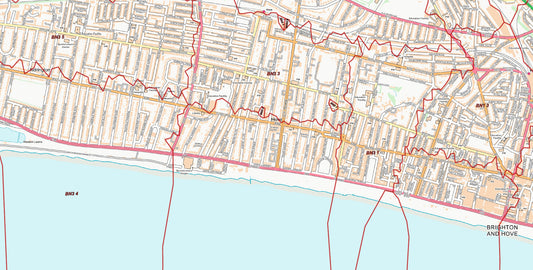
Central Brighton and Hove Postcode City Street Map - Digital Download
Regular price £9.99Regular price -
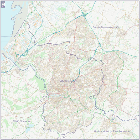
Central Bristol City Street Map - Digital Download
Regular price £9.99Regular price -
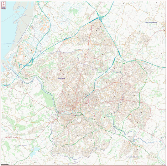
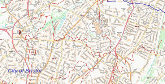
Central Bristol Postcode City Street Map - Digital Download
Regular price £9.99Regular price -
Central Cambridge Postcode City Street Map - Digital Download
Regular price £9.99Regular price -
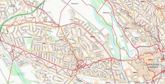
Central Cardiff City Street Map - Digital Download
Regular price £9.99Regular price -
Central Cardiff Postcode City Street Map - Digital Download
Regular price £9.99Regular price -
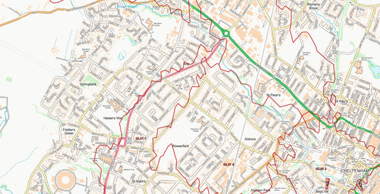
Central Cheltenham City Street Map - Digital Download
Regular price £9.99Regular price -
Central Cheltenham Postcode City Street Map - Digital Download
Regular price £9.99Regular price -
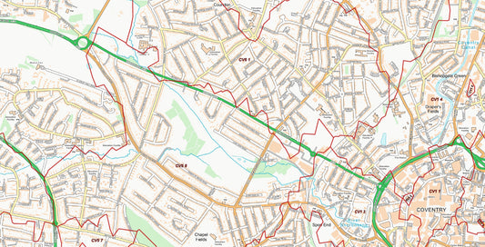
Central Coventry City Street Map - Digital Download
Regular price £9.99Regular price -
Central Coventry Postcode City Street Map - Digital Download
Regular price £9.99Regular price -
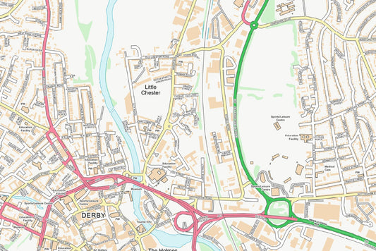
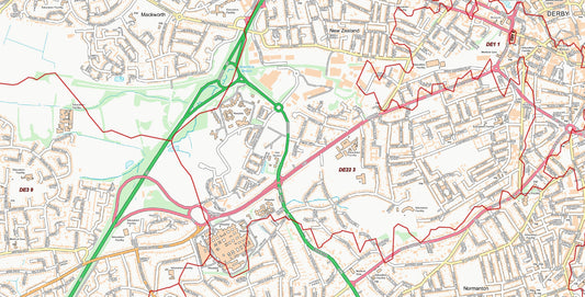
Central Derby City Street Map - Digital Download
Regular price £9.99Regular price -
Central Derby Postcode City Street Map - Digital Download
Regular price £9.99Regular price