-
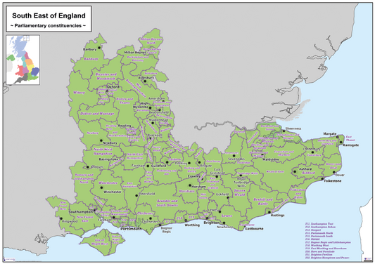
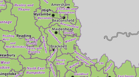
Regional UK Parliamentary Maps - South East of England - Digital Download
Regular price £5.00Regular price -
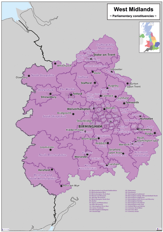
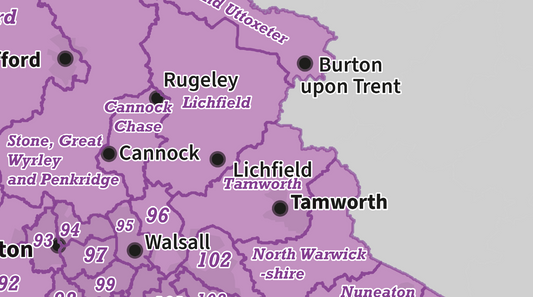
Regional UK Parliamentary Maps - West Midlands - Digital Download
Regular price £5.00Regular price -
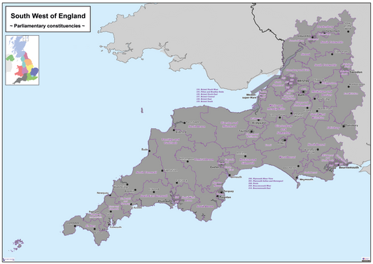
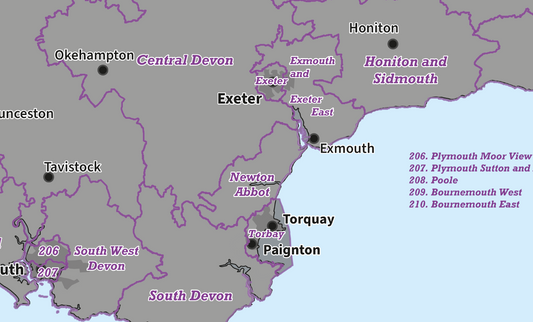
Regional UK Parliamentary Maps - South West of England - Digital Download
Regular price £5.00Regular price -
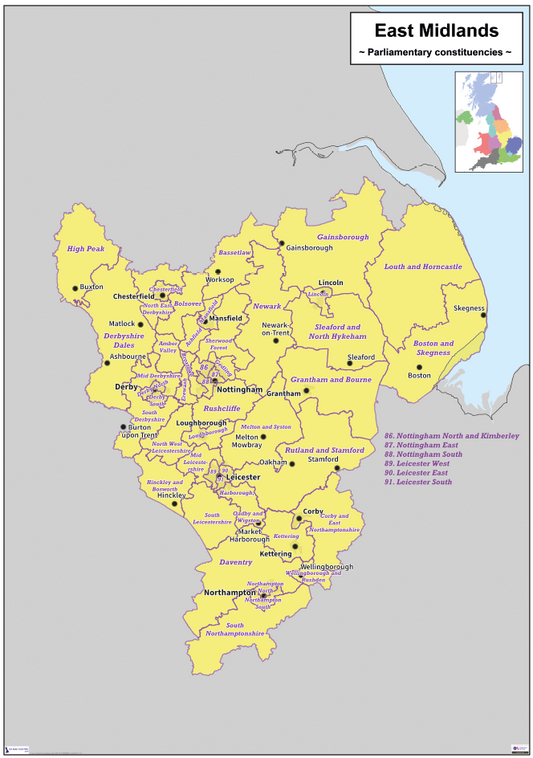
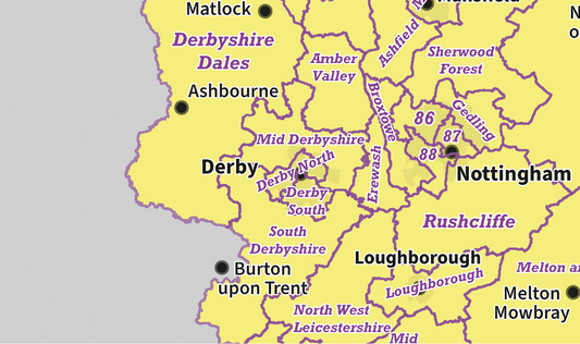
Regional UK Parliamentary Maps - East Midlands - Digital Download
Regular price £5.00Regular price -
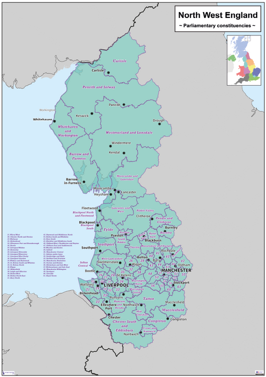
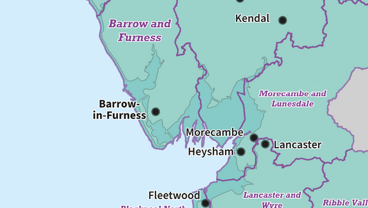
Regional UK Parliamentary Maps - North West of England - Digital Download
Regular price £5.00Regular price -
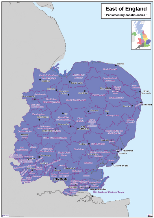
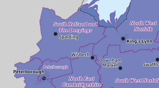
Regional UK Parliamentary Maps - East of England - Digital Download
Regular price £5.00Regular price -
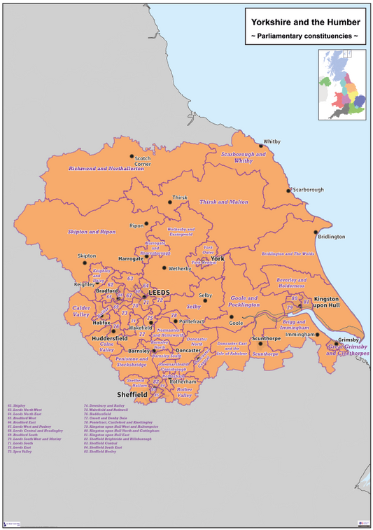
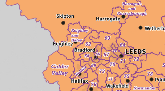
Regional UK Parliamentary Maps - Yorkshire & Humberside - Digital Download
Regular price £5.00Regular price -
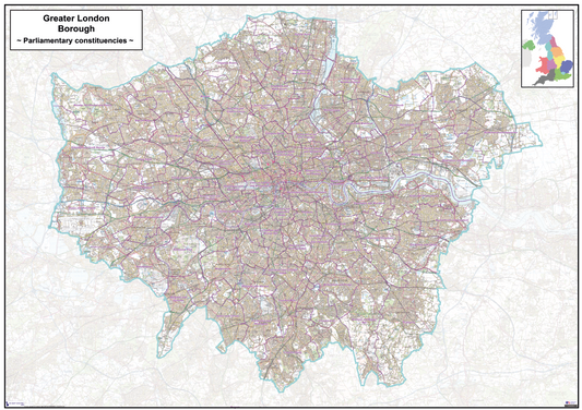
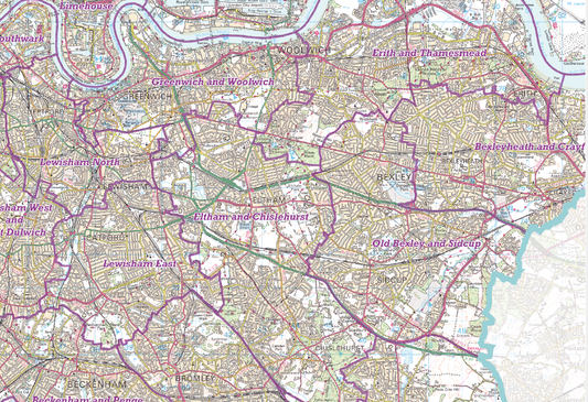
Regional UK Parliamentary Maps - London - Digital Download
Regular price £9.99Regular price -
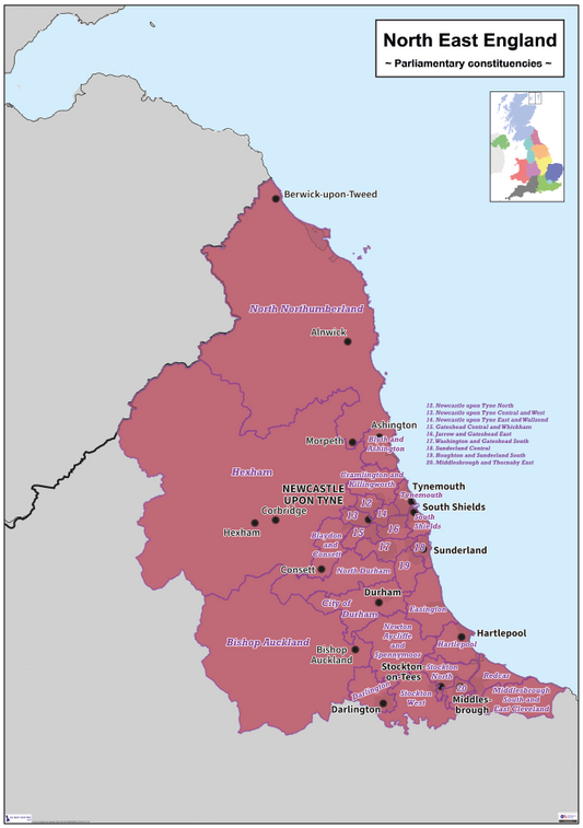
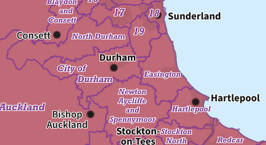
Regional UK Parliamentary Maps - North East of England - Digital Download
Regular price £5.00Regular price -
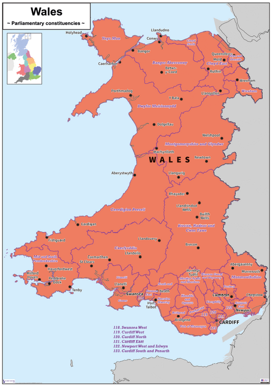
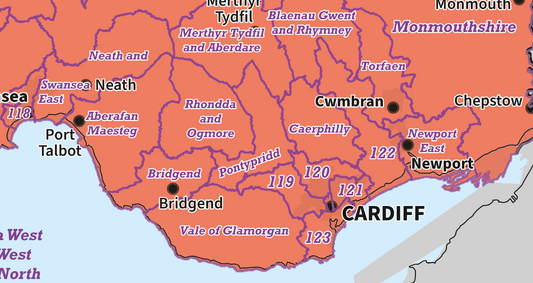
Regional UK Parliamentary Maps - Wales - Digital Download
Regular price £5.00Regular price -
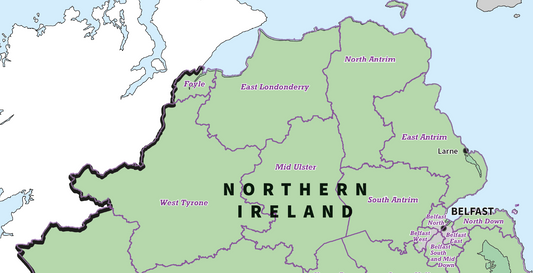
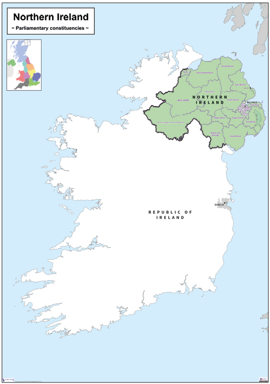
Regional UK Parliamentary Maps - Northern Ireland - Digital Download
Regular price £5.00Regular price -
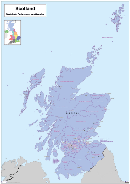
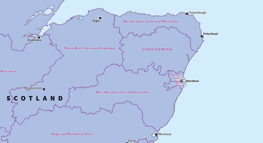
Regional UK Parliamentary Maps - Scotland - Digital Download
Regular price £5.00Regular price