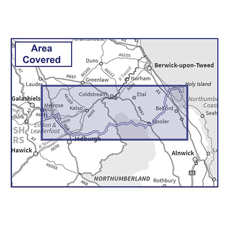
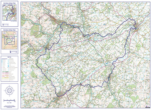
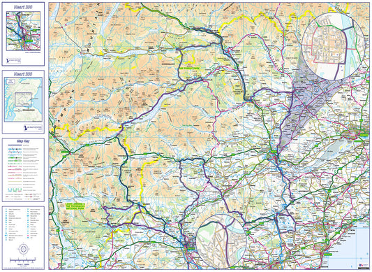
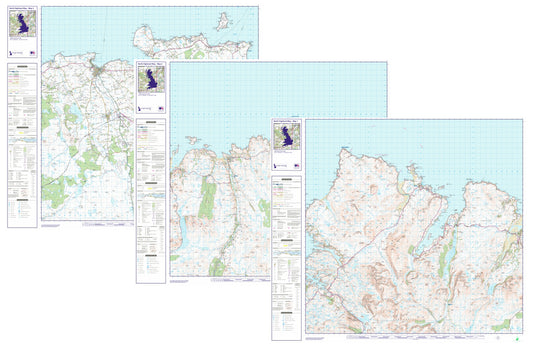
Collection: Route Maps
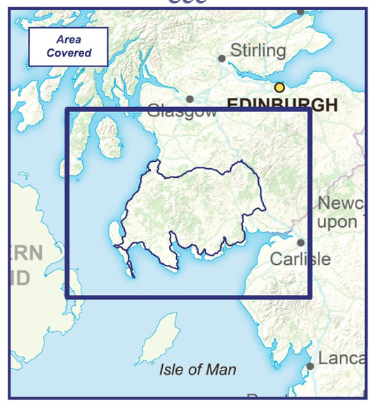
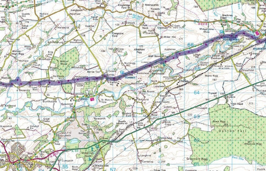
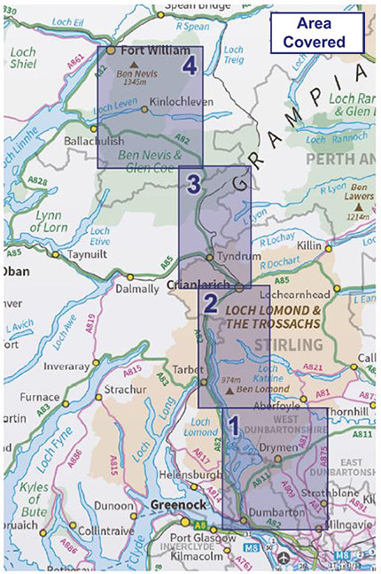
Our route map collection covers some of the UK's most iconic long-distance walking and leisure routes, from the West Highland Way in Scotland to Hadrian's Wall Path in northern England and the South West Coastal 300 in Cornwall. Each map is produced using Ordnance Survey data at an appropriate scale for the route, giving you clear, accurate coverage of the full trail.
The collection also includes detailed maps for individual peaks and mountain routes, making it a useful resource whether you're planning a multi-day trek or a single-day adventure. Maps are available for routes across Scotland, England and Wales.
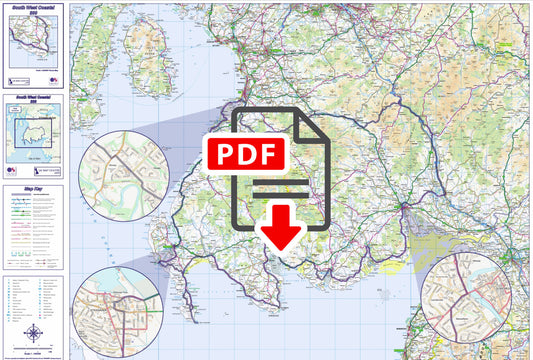
All maps are delivered as high-resolution PDF files for instant download, compatible with any PDF-capable device and suitable for printing. Prices vary by route and map size.
Common uses include long-distance route planning, holiday preparation, guided walk reference, and general outdoor adventure mapping.