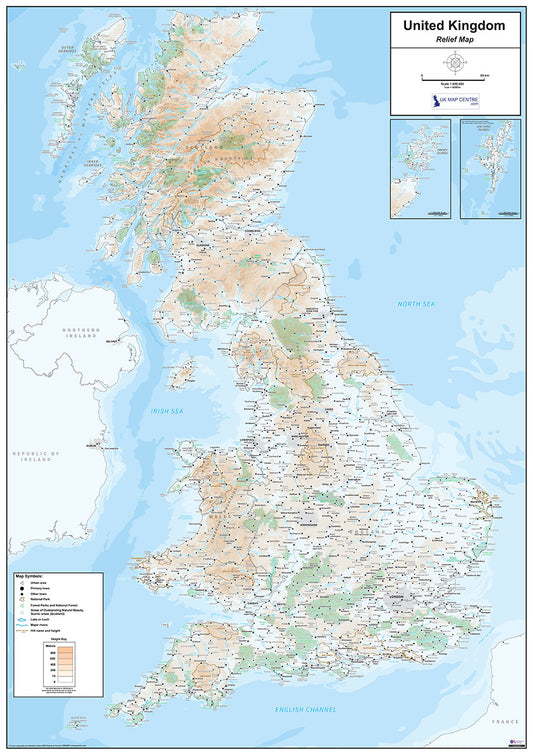
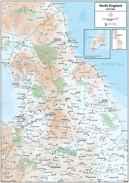
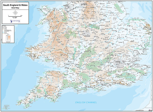
Collection: Relief Maps
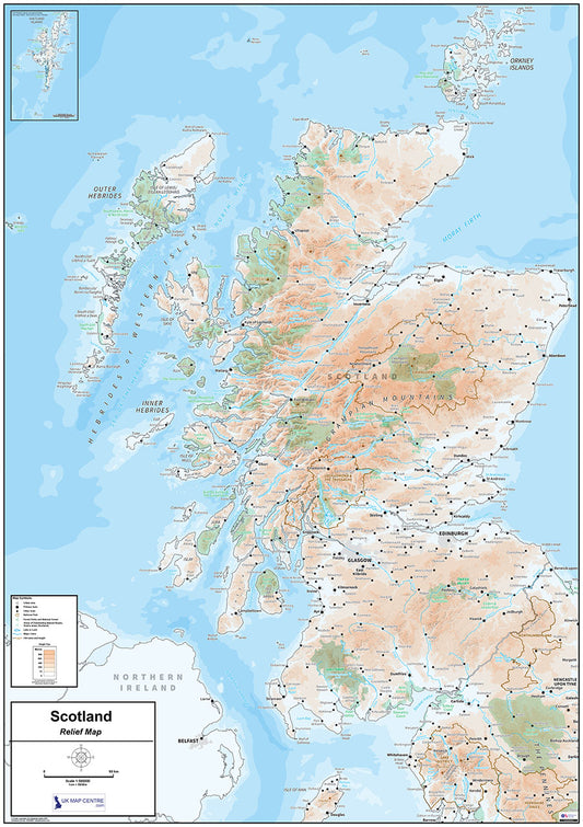
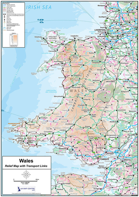
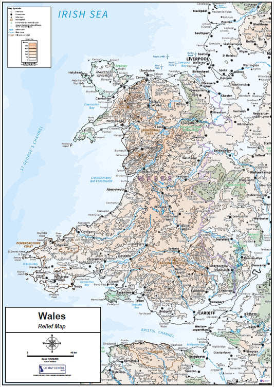
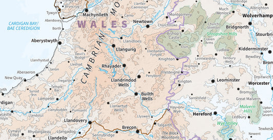
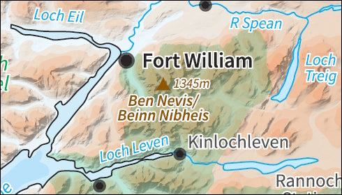
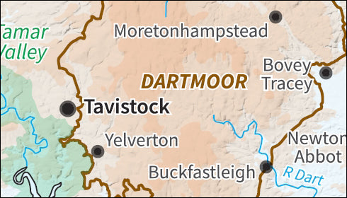
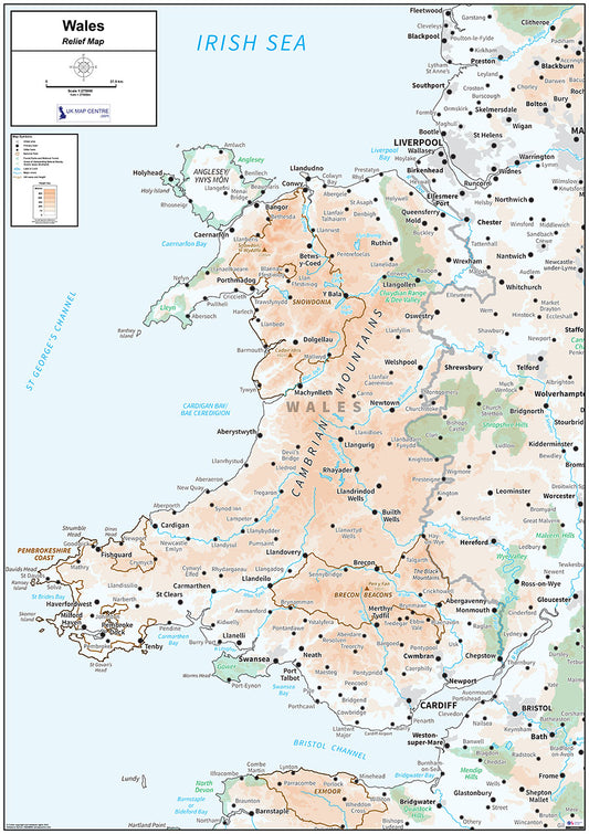
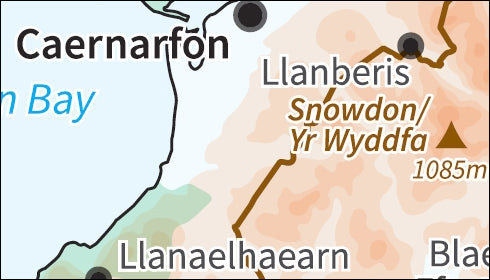
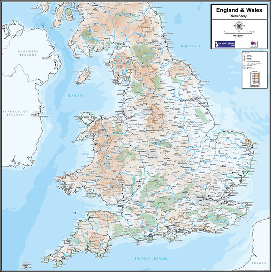
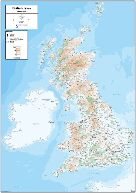
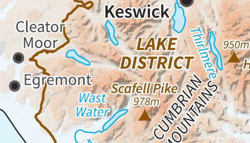
Our relief map series uses Ordnance Survey Miniscale mapping at 1:1,000,000 scale to show land height across the UK and its regions as colour shading. A clear height key makes it easy to read the terrain at a glance, from lowland plains to mountain peaks.
Each map also shows national boundaries for England, Scotland and Wales, as well as county boundaries making them useful as both a geographical reference and a display map.
The series is available in full UK, regional, and compact formats, covering areas including Scotland, Northern England, Southern England, Wales, and the full British Isles. All maps are produced to 300 dpi and measure 841mm x 1,189mm when printed at actual size.
Maps are priced from £7.99 and available for instant download on order completion. If you need road and rail networks overlaid on the relief shading, see our Relief Maps with Transport Links collection.