Collection: Relief Maps with Transport Links
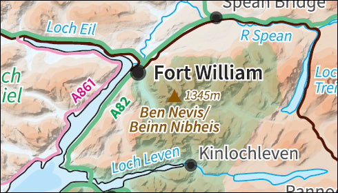
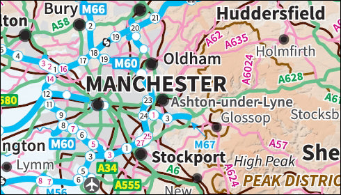
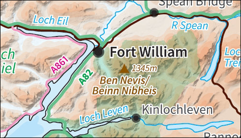
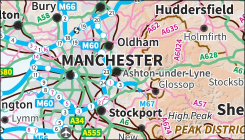
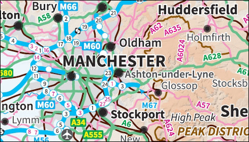
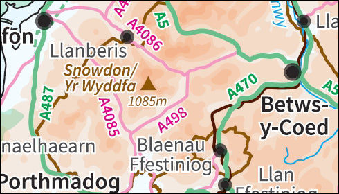
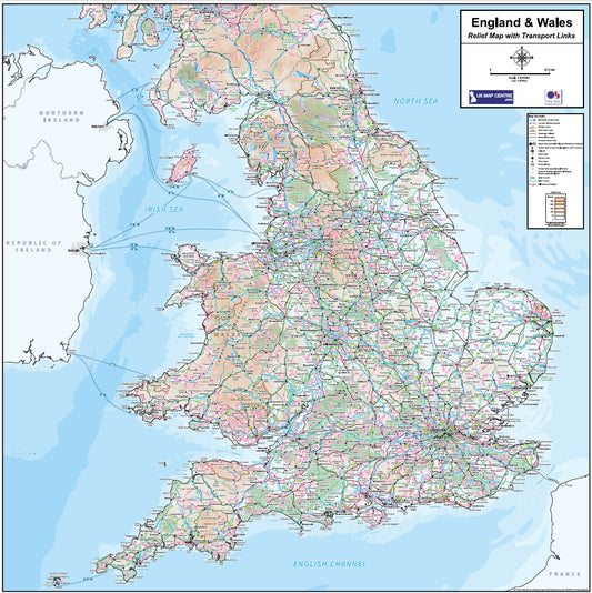
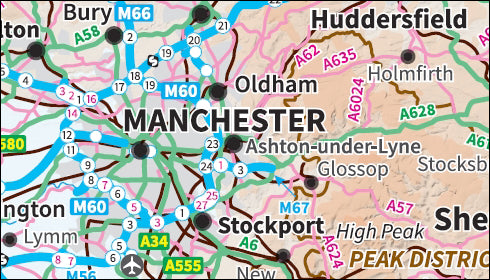
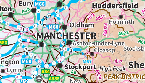
The Relief Maps with Transport Links series covers the UK and large regions using up-to-date Ordnance Survey Relief Miniscale mapping which shows shaded height variations. We've overlaid this with the major transport links between cities and towns to give a functional and aesthetically pleasing map.
-
Compact Scotland Relief Map with Transport Links - Digital Download
Regular price £7.99Regular price -
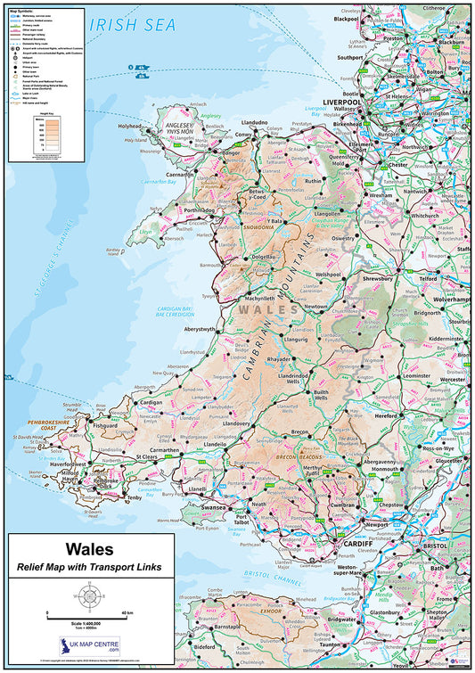
Compact Wales Map Relief Map with Transport Links - Digital Download
Regular price £7.99Regular price -
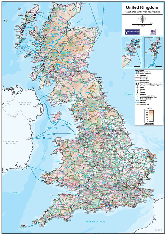
Relief Map 1 with Transport Links - Full UK - Digital Download
Regular price £9.99Regular price -
Relief Map 2 with Transport Links - Scotland - Digital Download
Regular price £9.99Regular price -
Relief Map 3 with Transport Links - Northern England - Digital Download
Regular price £9.99Regular price -
Relief Map 4 with Transport Links - Southern England & Wales - Digital Download
Regular price £9.99Regular price -
Relief Map 5 with Transport Links - Wales - Digital Download
Regular price £9.99Regular price -
Relief Map 6 with Transport Links - England & Wales - Digital Download
Regular price £9.99Regular price -
Relief Map 7 with Transport Links - The British Isles - Digital Download
Regular price £9.99Regular price
Subscribe to our emails
Be the first to know about new collections and exclusive offers.

