Collection: Postcode District Maps
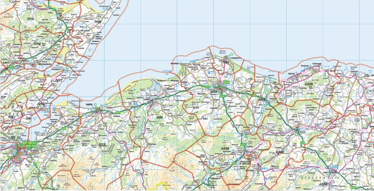
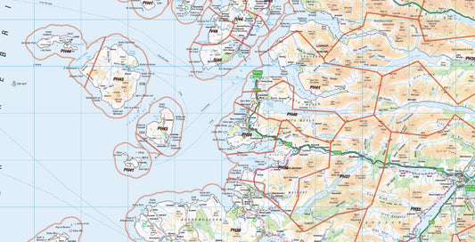
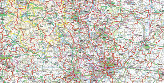
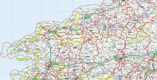
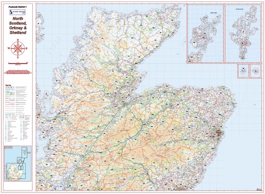
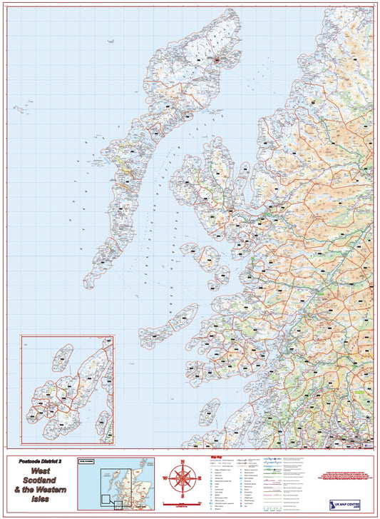
Our series of Postcode District Maps covers the country on 8 maps, using Ordnance Survey Road Mapping. Scaled to 1:250,000 this mapping clearly shows villages, towns and cities, the road and rail networks and is overlaid with Postcode District data. These maps are ideal for businesses and organisations targeting large regions of the country.
-
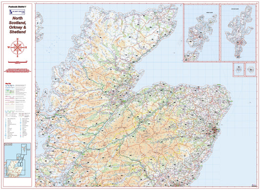
Postcode District Map 1 - North Scotland, Orkney & Shetland - Digital Download
Regular price £9.99Regular price -
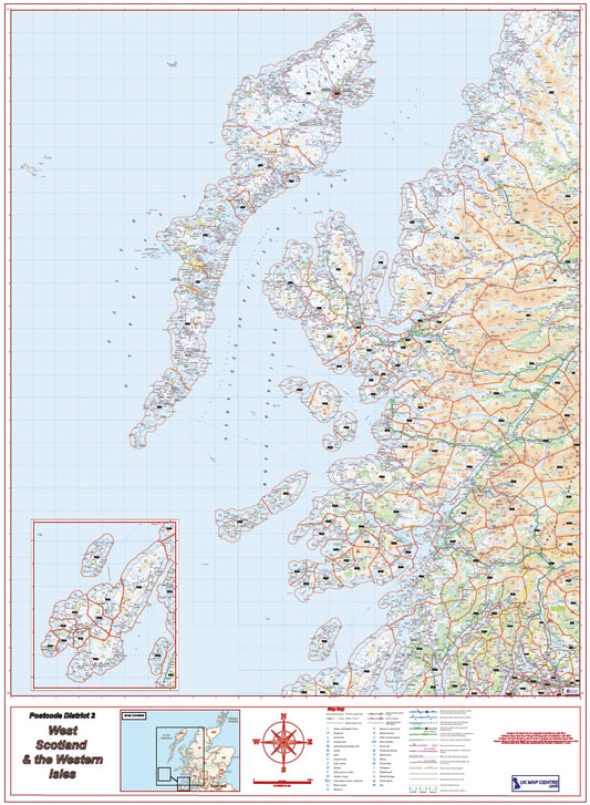
Postcode District Map 2 - West Scotland & the Western Isles - Digital Download
Regular price £9.99Regular price -
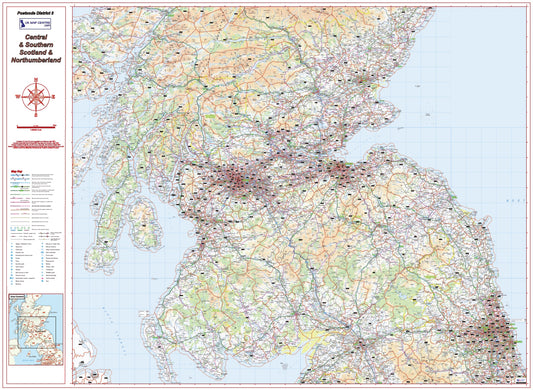
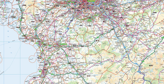
Postcode District Map 3 - Southern Scotland & Northumberland - Digital Download
Regular price £9.99Regular price -
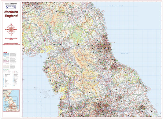
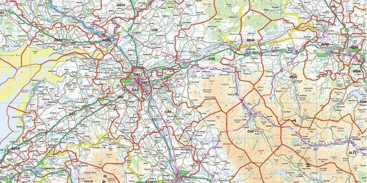
Postcode District Map 4 - Northern England - Digital Download
Regular price £9.99Regular price -
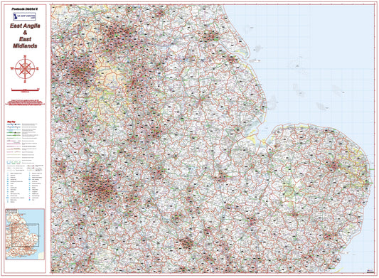
Postcode District Map 5 - East Midlands & East Anglia - Digital Download
Regular price £9.99Regular price -
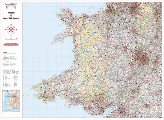
Postcode District Map 6 - Wales & West Midlands - Digital Download
Regular price £9.99Regular price -
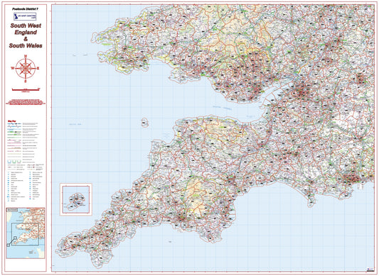
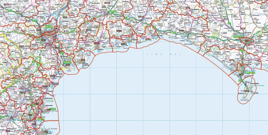
Postcode District Map 7 - South West England & South Wales - Digital Download
Regular price £9.99Regular price -
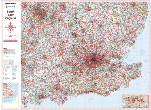
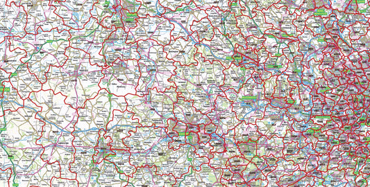
Postcode District Map 8 - South East England - Digital Download
Regular price £9.99Regular price -
Postcode District Map Series - Full UK - Digital Download
Regular price £79.92Regular price
Subscribe to our emails
Be the first to know about new collections and exclusive offers.
