The third set of maps in our Postcode Maps series has now been completed and the maps are available to purchase and download now, see here: Postcode Area Maps
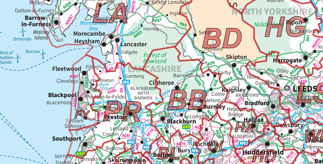
The Postcode Area map series shows the country or large regions of the country using OS miniscale mapping and is overlaid with Postcode Area data - e.g. M for Manchester, EH for Edinburgh, etc.
These maps provide a strategic overview of the UK, or large parts of the country making them ideal for businesses and organisations looking to target large areas of the country.