Postcode Maps Coming Soon!
Share
We are working on three collections of Postcode Maps and hope to have these collections launched early in the New Year!
These maps will combine OS mapping with Postcode data overlaid - giving highly functional maps for businesses or organisations who need both high quality map-data and accurate postcode information.
The collections will be Postcode Area, Postcode District, and Postcode Sector Maps:
- The Area maps will deal with the whole UK or individual nations and will use the same mapping as the Travel Map series. These will be ideal for companies and institutions looking to target the whole UK or large regions at a strategic level.
- The District Maps will cover the whole UK over 8 maps, they will use OS Road Mapping as the base mapping and will be overlaid with Postcode District data. These maps are perfect for targeting regions and defining sales areas.
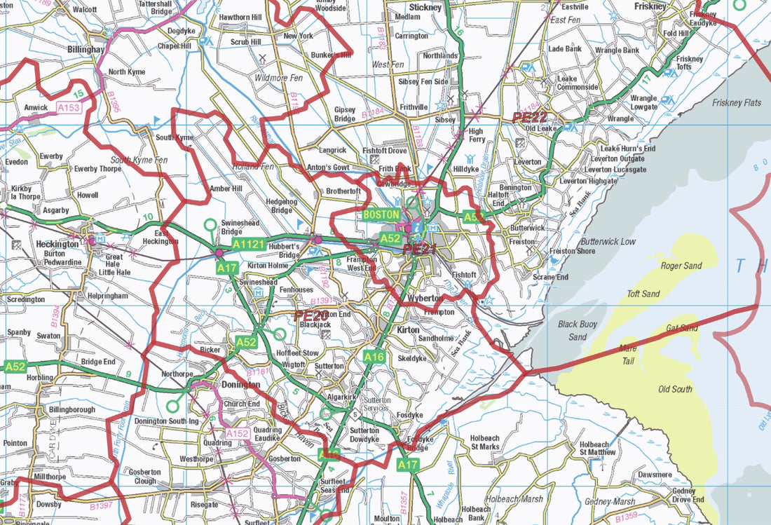
- The Postcode Sector Maps will focus on individual Towns and Cities using up-to-date OS District mapping to show the built-up landscape in high detail, while the overlaid postcode Sector data will allow for very targeted business and administration use.
We'll be releasing these as soon as the map files are made, if you have a requirement for a postcode map which we haven't yet made please get in touch about getting a custom map made here.