Postcode Sectors Complete
Share
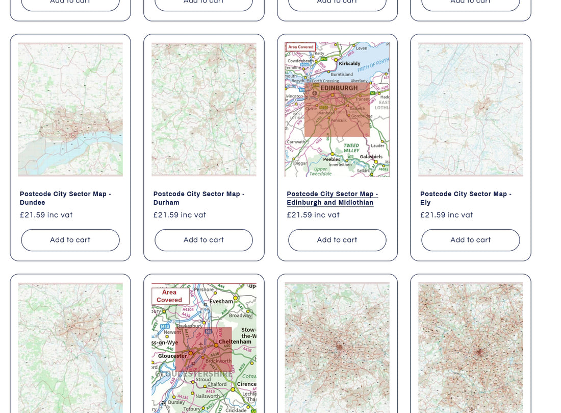
All of the current Postcode Sector maps have now been added to the site here.
These maps cover most of the major cities across the UK using up-to-date Ordnance Survey District mapping overlaid with postcode sector boundary data.
These maps are ideal for leafleting businesses or delivery and taxi firms who need to be able to locate postcode sectors in their city.
As always, if you don't see the city you need on our list; or if you need more area covered by one of our existing maps please get in touch and we'll quote for a custom map!