Collection: All Postcode Maps
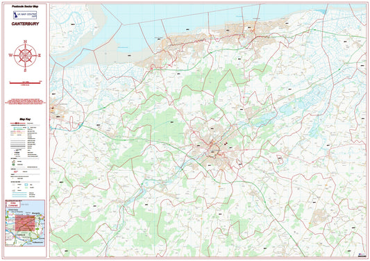
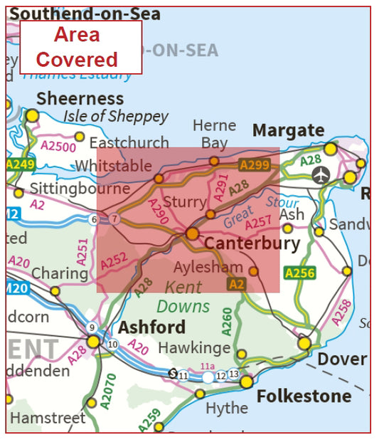
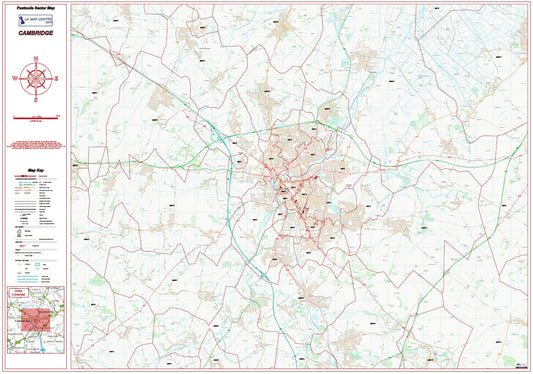
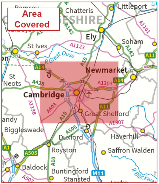
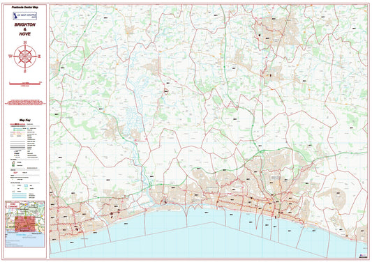
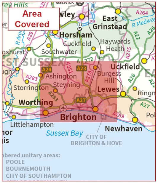
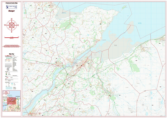
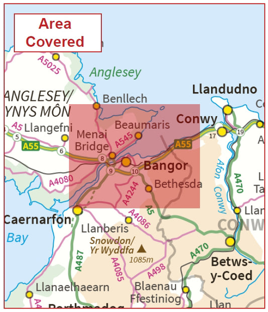
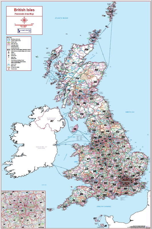
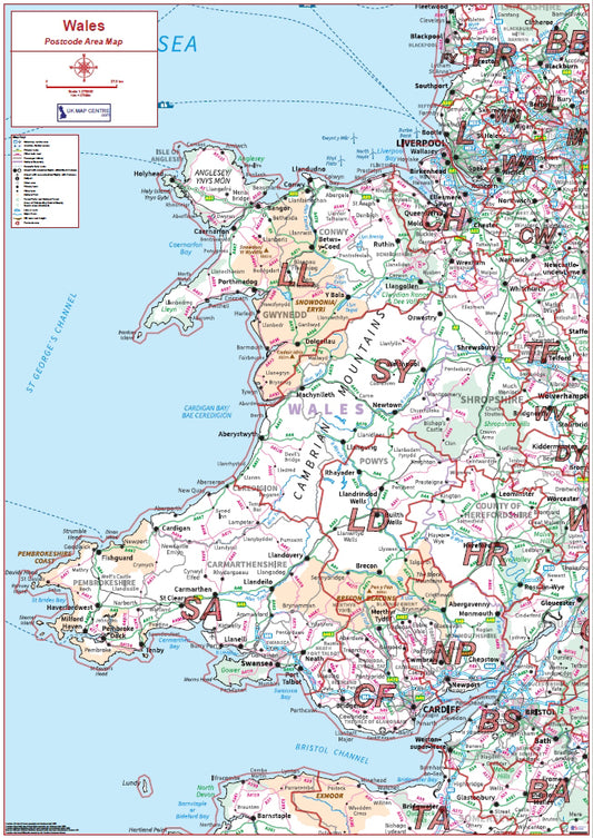
Our All Postcode Maps collection brings together our complete range of postcode boundary maps in one place. Using up-to-date Ordnance Survey mapping overlaid with the latest postcode data, these maps are available at three levels of detail Postcode Area, Postcode District, and Postcode Sector allowing you to choose the coverage and scale that suits your needs.
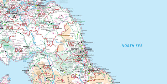
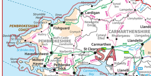
Postcode Area maps provide a broad overview of the UK's 124 postcode areas, ideal for national-level analysis. Postcode District maps offer a finer level of detail, while Postcode Sector maps drill down further to individual postal sectors. City Street versions combine OS StreetView mapping with postcode boundaries for maximum street-level detail.
Coverage spans the full UK, with regional and city-specific options available. All maps are produced to 300 dpi and supplied as instant PDF downloads. Prices start from £5.99.