Collection: Miniscale Mapping
Our Miniscale Mapping collection brings together all maps produced using Ordnance Survey Miniscale data at 1:1,000,000 scale. These are strategic overview maps, ideal when you need to see the UK or a large region in its entirety from national planning to office display.
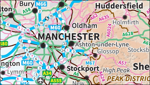
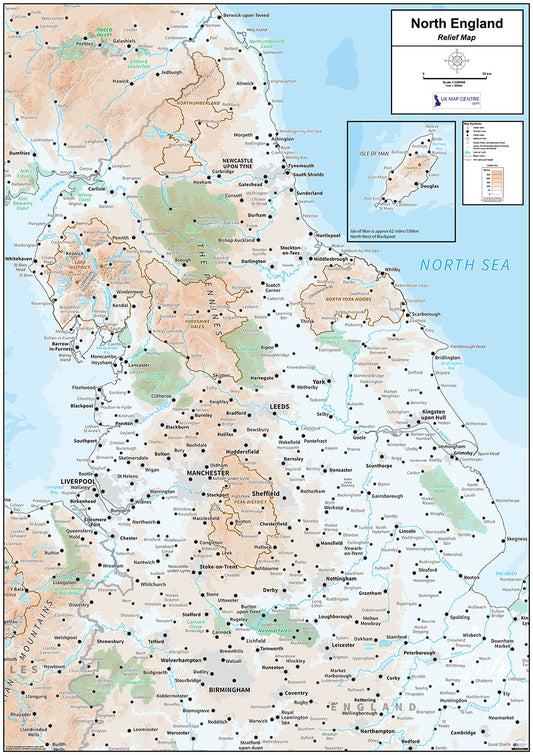
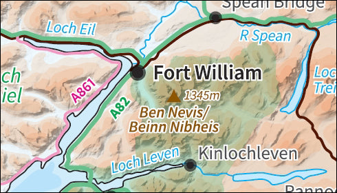
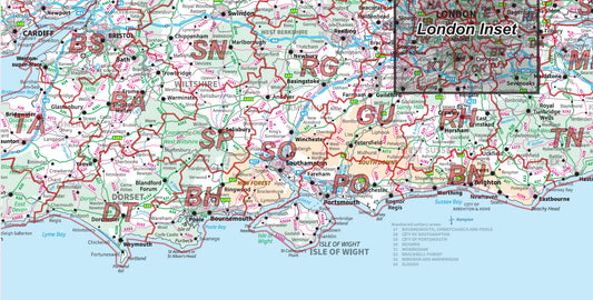
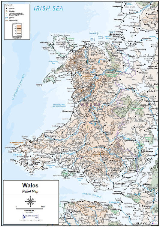
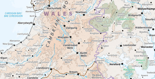
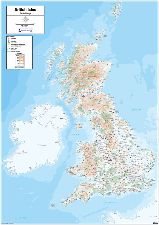
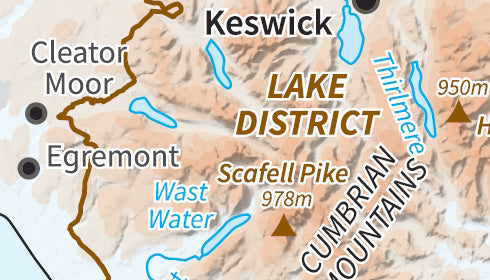
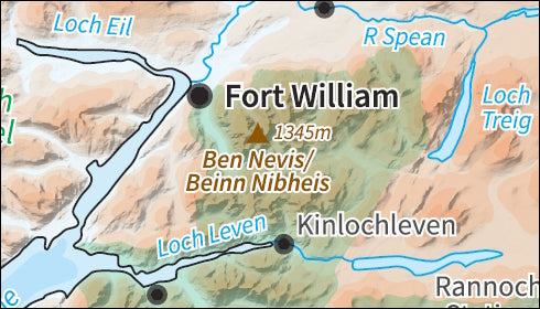
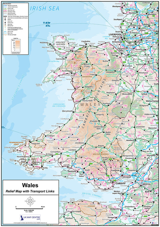
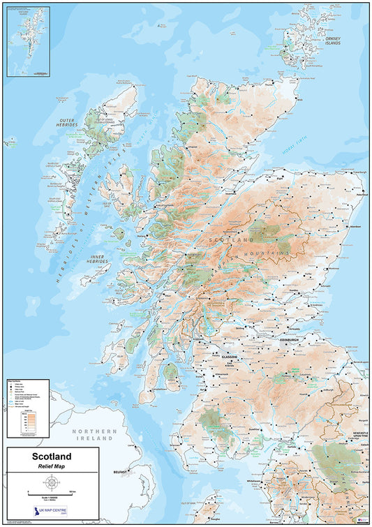
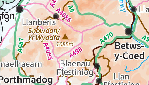
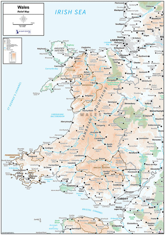
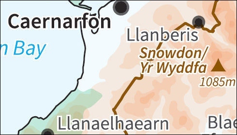
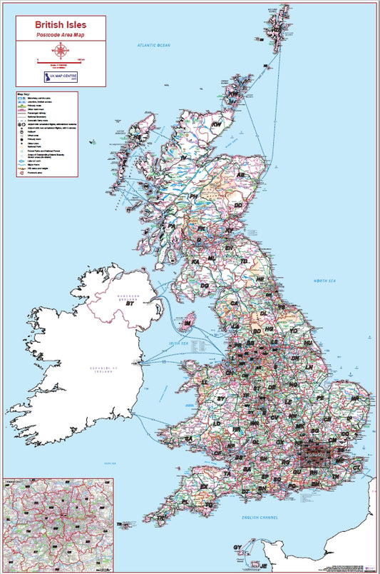
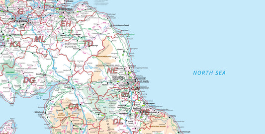
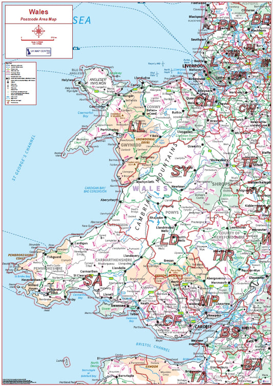
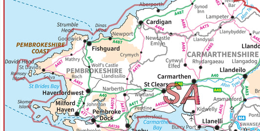
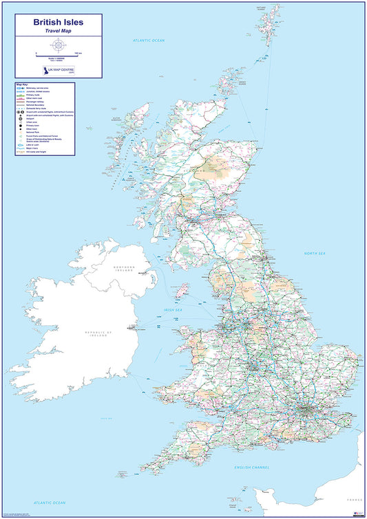
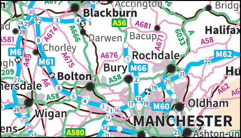
The collection covers three distinct map styles. Relief maps show land height as colour shading with a clear height key, giving a visual impression of the UK's terrain. Travel maps focus on road, rail and ferry links with an emphasis on connections between cities and regions. National Admin maps combine county boundary information with transport infrastructure, colour-coding each area for easy reference.
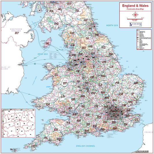
Coverage includes the full UK, Scotland, Northern England, Southern England & Wales, Wales, England & Wales, and the full British Isles, with compact formats available for Wales and Scotland.
All maps are supplied as 300 dpi PDFs measuring 841mm x 1,189mm when printed at actual size. Prices start from £5.99 and all maps are available for instant download on order completion.
-
Relief Map 4 with Transport Links - Southern England & Wales - Digital Download
Regular price £9.99Regular priceSale price £9.99 -
Relief Map 3 - Northern England - Digital Download
Regular price £9.99Regular priceSale price £9.99 -
Relief Map 2 with Transport Links - Scotland - Digital Download
Regular price £9.99Regular priceSale price £9.99 -
England & Wales Postcode Area Map | Full Postcode Regions Wall Map PDF
Regular price £9.99Regular priceSale price £9.99 -
Compact Wales Relief Map - Digital Download
Regular price £7.99Regular priceSale price £7.99 -
Relief Map 7 - The British Isles - Digital Download
Regular price £9.99Regular priceSale price £9.99 -
Relief Map 2 - Scotland - Digital Download
Regular price £9.99Regular priceSale price £9.99 -
Compact Wales Map Relief Map with Transport Links - Digital Download
Regular price £7.99Regular priceSale price £7.99 -
Compact Scotland Relief Map - Digital Download
Regular price £7.99Regular priceSale price £7.99 -
Relief Map 5 with Transport Links - Wales - Digital Download
Regular price £9.99Regular priceSale price £9.99 -
Relief Map 5 - Wales - Digital Download
Regular price £9.99Regular priceSale price £9.99 -
Relief Map 3 with Transport Links - Northern England - Digital Download
Regular price £9.99Regular priceSale price £9.99 -
British Isles Postcode Area Map | UK & Islands Postcode Regions PDF
Regular price £9.99Regular priceSale price £9.99 -
Wales Postcode Area Map | Welsh Postcode Regions Wall Map PDF
Regular price £9.99Regular priceSale price £9.99 -
Travel Map 7 - British Isles - Digital Download
Regular price £9.99Regular priceSale price £9.99
Subscribe to our emails
Be the first to know about new collections and exclusive offers.


