Collection: Parliamentary Maps
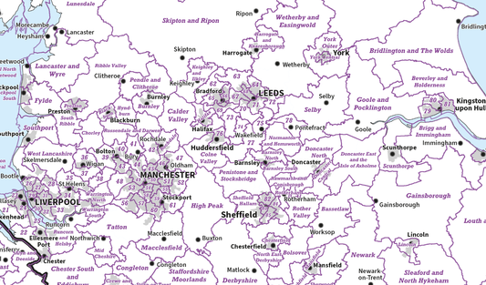
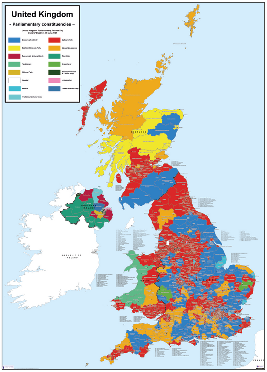
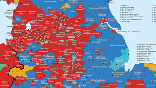
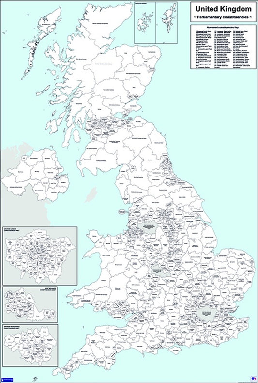
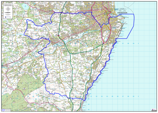
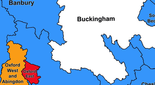
Our Parliamentary Maps collection covers UK Westminster parliamentary boundaries, with options for both blank boundary maps and election result maps from the 2017, 2019 and 2024 general elections.
The blank boundary maps show the current Westminster constituency boundaries across the UK, making them useful for electoral planning, political analysis, campaign management, and educational reference. The election result maps add colour-coding to show how each constituency voted in a given general election, giving a clear visual overview of the political landscape at that point in time.
All maps are supplied as high-resolution PDF files for instant download at £5.00 on order completion. For regional-level Westminster boundary maps, see our Parliamentary Regions Maps collection.