Collection: Postcode Sector Maps
The Postcode Sector Map Series of Maps cover the largest population centres in the UK using Ordnance Survey District Mapping. The District mapping shows major road names, bublic buildings, etc. and is overlayed with Postcode Sector data making these maps ideal for businesses targeting specific areas of a city.
-
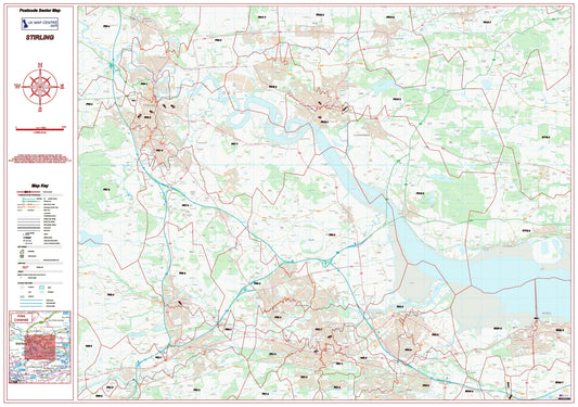
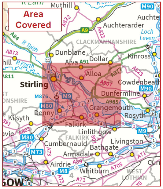
Postcode City Sector Map - Stirling and Falkirk - Digital Download
Regular price £9.99Regular price -
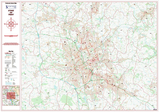
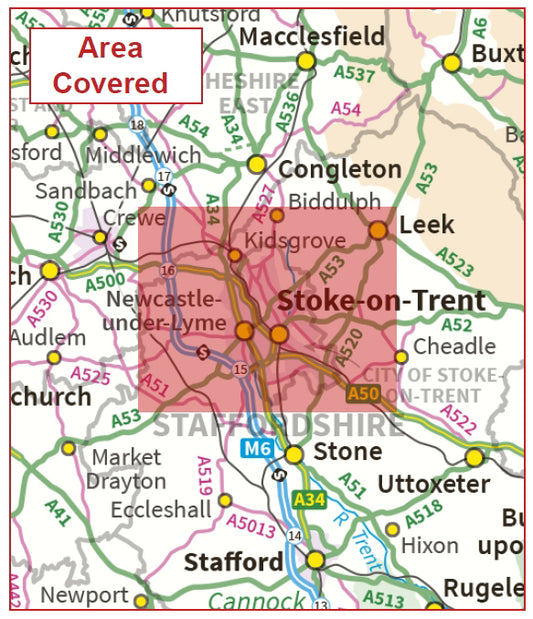
Postcode City Sector Map - Stoke - Digital Download
Regular price £9.99Regular price -
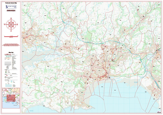
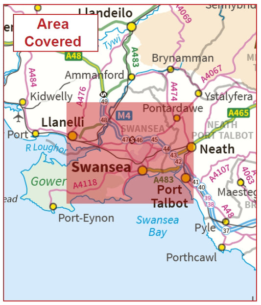
Postcode City Sector Map - Swansea - Digital Download
Regular price £9.99Regular price -
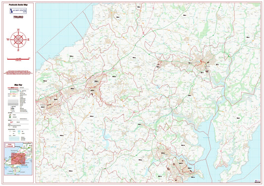
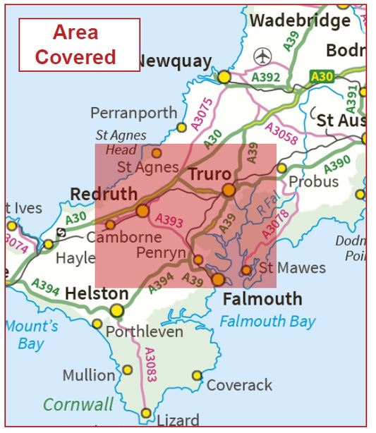
Postcode City Sector Map - Truro - Digital Download
Regular price £9.99Regular price -
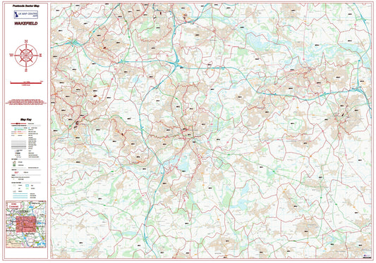
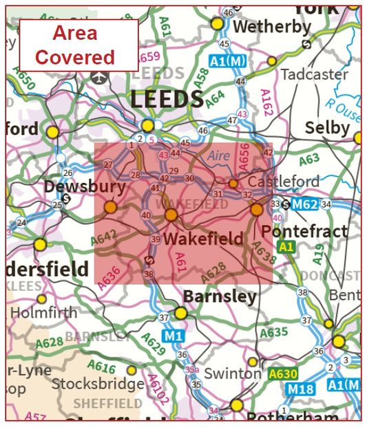
Postcode City Sector Map - Wakefield - Digital Download
Regular price £9.99Regular price -
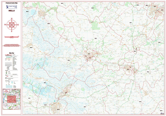
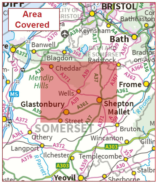
Postcode City Sector Map - Wells - Digital Download
Regular price £9.99Regular price -
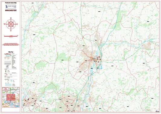
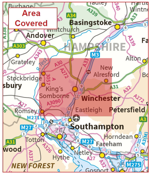
Postcode City Sector Map - Winchester - Digital Download
Regular price £9.99Regular price -
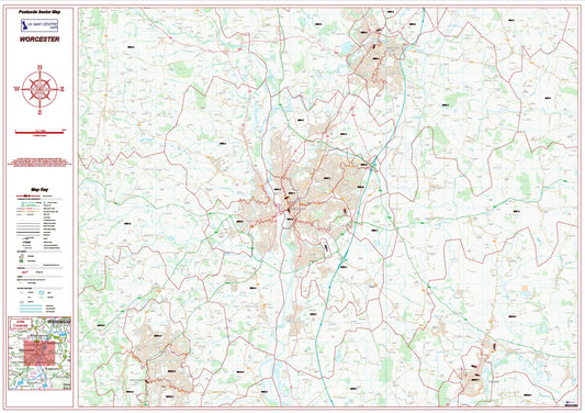
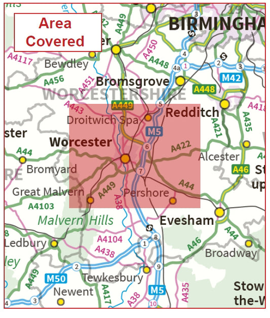
Postcode City Sector Map - Worcester - Digital Download
Regular price £9.99Regular price -
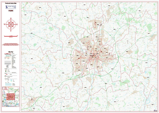
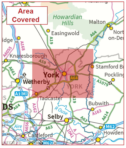
Postcode City Sector Map - York - Digital Download
Regular price £9.99Regular price
Subscribe to our emails
Be the first to know about new collections and exclusive offers.
