Planning Maps
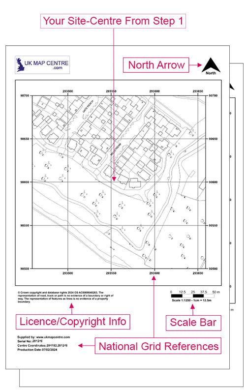
1:500 & 1:1250 Scale Planning Pack - OS MasterMap Topography Layer®
Whether you’re building a house or a block of flats, all planning
applications need a map called a ‘Location Plan’ showing the proposal
and its surrounding context. Some local authorities also require a
‘Block Plan’ (sometimes called a site plan) which outlines the
development in a larger scale, but not necessarily in greater detail. A
Location Plan is the 1:1250 scale and the Block Plan/Site Plan is the
1:500.

OS Mastermap® DXF & DWG Data for GIS or CAD
OS MasterMap Topography Layer gives you access to the most detailed,
current and comprehensive dataset of Great Britain in a CAD compatible
format