ukmaps.co.uk
Admin Boundary Map 1 - North Scotland, Orkney & Shetland - Digital Download
Admin Boundary Map 1 - North Scotland, Orkney & Shetland - Digital Download
Couldn't load pickup availability
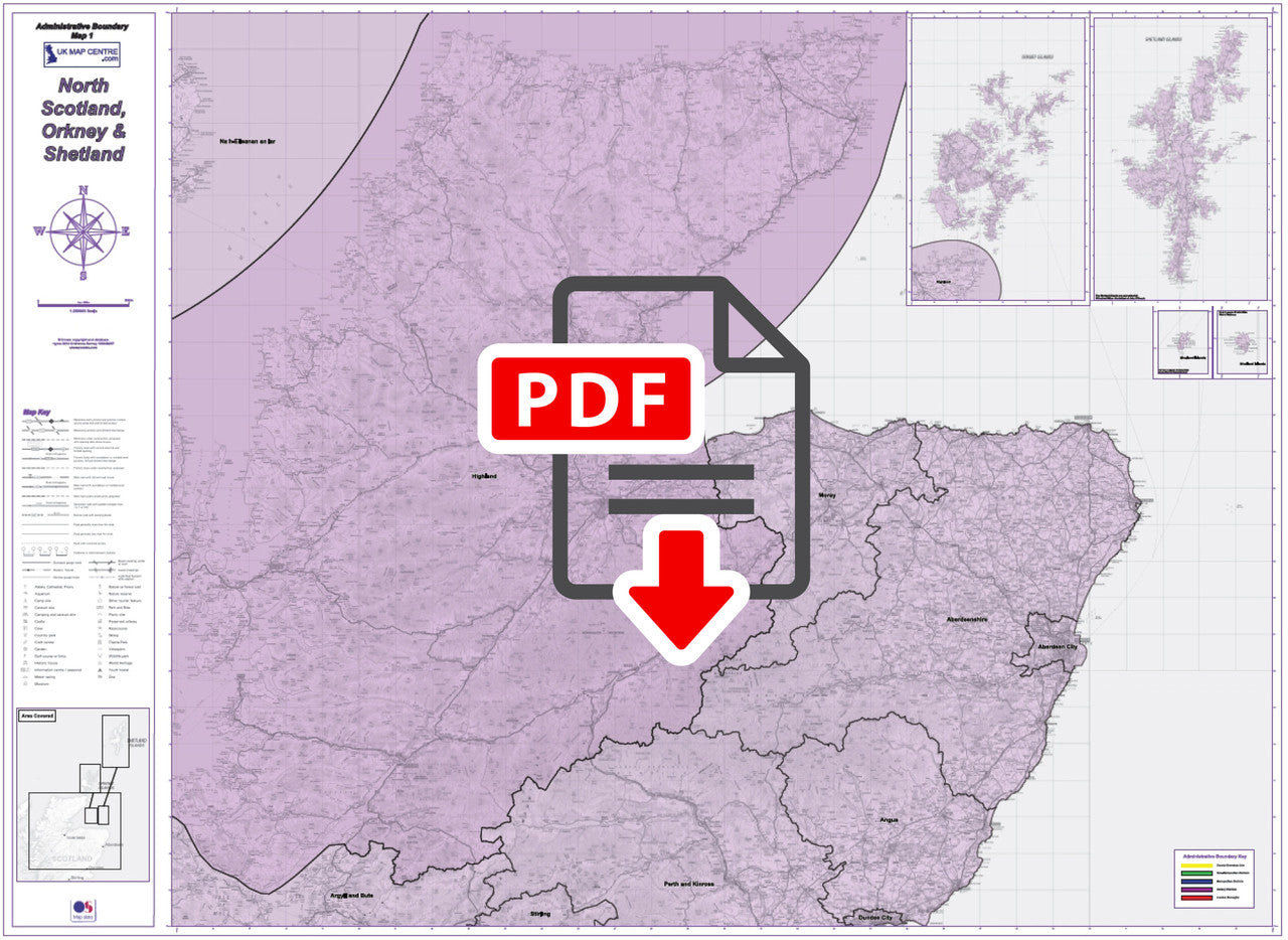
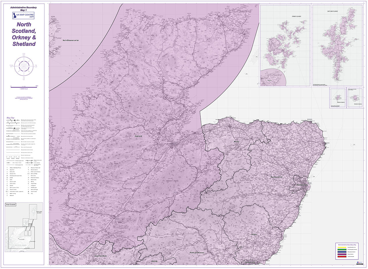
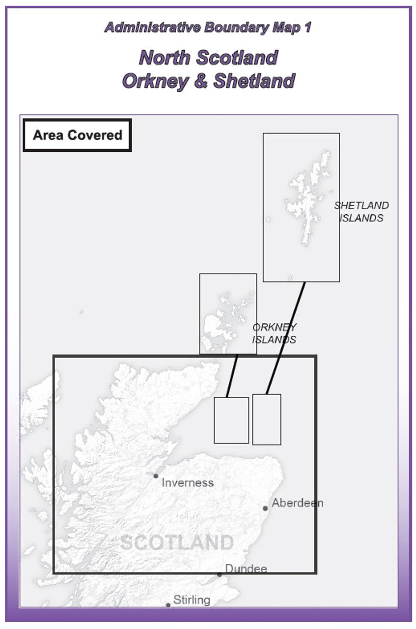
Admin Boundary Map 1 for Scotland, Shetland & Orkney covers Aberdeen, Inverness, Peterhead & Fort William and includes insets for Shetland, Orkney, Fair Isle and Foula. The map combines 1:250000 OS mapping with Administrative boundaries to provide a clear and functional map.
- 1:250000 scale map of the North of Scotland and the Orkney and Shetland Isles
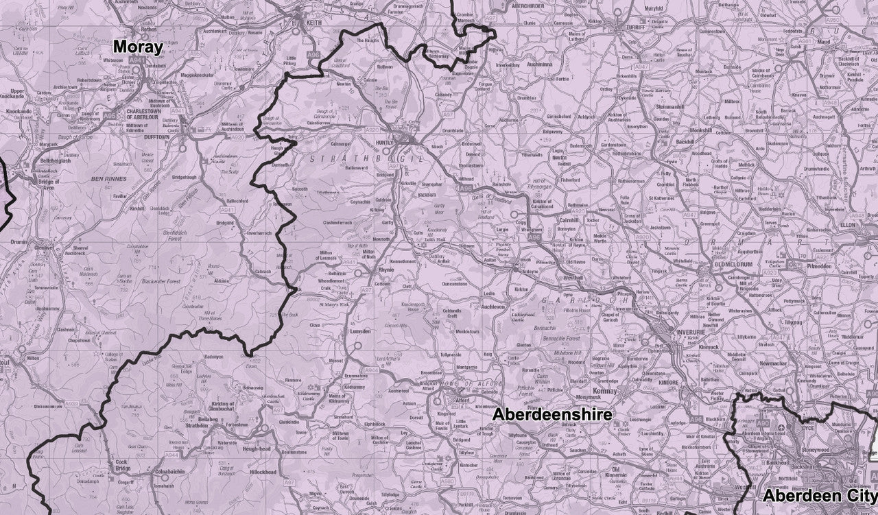
- Unitary Administrative Boundaries highlighted in pink
- Supplied as High Quality 300dpi PDF image
- Download Supplied on Order Completion
- Map size if printed at Actual Size: 1400mm x 1000mm
Digital Download Products can not be returned once a purchase has been made. Please read the T&C's before making a purchase. Please Note: Once you place an order the file will be available to download for 14 days. If you intend to make multiple prints of the map you should increase the quantity box accordingly. This product has been created using up-to-date scaled Ordnance Survey Road Mapping.
About the Digital Download Map Series: As the way we live and work changes so too do the products and data we need. With this in mind we've made our Wall Maps available as PDF's to download which can be used as digital maps, on a computer, tablet or phone, or can even be taken to your local print shop and printed to the correct scale. All our maps are created from up-to-date Ordnance Survey mapping and are regularly updated.
Share


FAQ's
Digital Downloads
How will my files be supplied?
Map files are supplied in PDF format and are available to download immediately after payment has completed on the Thank You page through a displayed download link. If you miss this the download link is also emailed to you, so make sure you can access the email address entered at checkout.
Help! I've clicked the download link and I am getting an error or it's telling me the 'link has expired'. Can you help?
Of Course we can help! When you click the download link the file should start downloading via the browser. Usually you can see a download starting at the top right of the browser page, but it is easy to miss. Most PC's and laptops are set up to send downloaded files to the Download folder on the device so it's always worth checking there. If you can't find it get in touch and we'll help get you the file.
Printing the Map Files
Do you supply Printed Maps?
No, we only supply OS mapping in digital format - most often in PDF format. This is easy to open and use on most electronic devices and is also very easy to print from.
Can I have my map files printed?
We don't offer a printing service, but you can take your map file to a local printing company, or send it by email to a national company to have the file printed to your specification.
More Printing Queries
Can I change the print size when I get the map file printed?
We do not recommend changing the print size. All the map files have been created to be printed at Actual Size. This keeps it easy when it comes to printing, just print it at the size it's supposed to be. If the file is scaled then it could become blurry, blocky or otherwise illegible.
Licencing
Can I print a map from the file I've bought?
Yes, typically you are licenced to print one copy of the map from the file purchase. If you want more prints please increase the number of items you want to purchase in the Quantity box.
Can I use the map or parts of it online?
No, you can not publish the file online without the correct licence. This can be obtained from OS, please contact us for more information.
Custom Maps
If you can't find a map to suit your needs we will happily quote you for a custom map.
Email your request to: custom@ukmapcentre.com or complete our online custom request form via this link > Custom Map Form
Subscribe to our emails
Be the first to know about new collections and exclusive offers.


