-
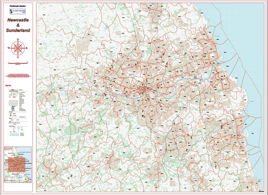
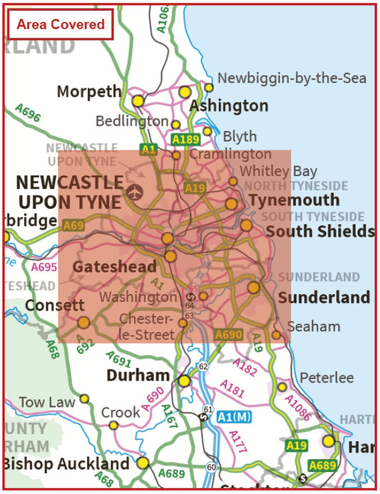
Newcastle Postcode Sector Map | Sunderland & NE Postcode Boundaries PDF
Regular price £9.99Regular price -
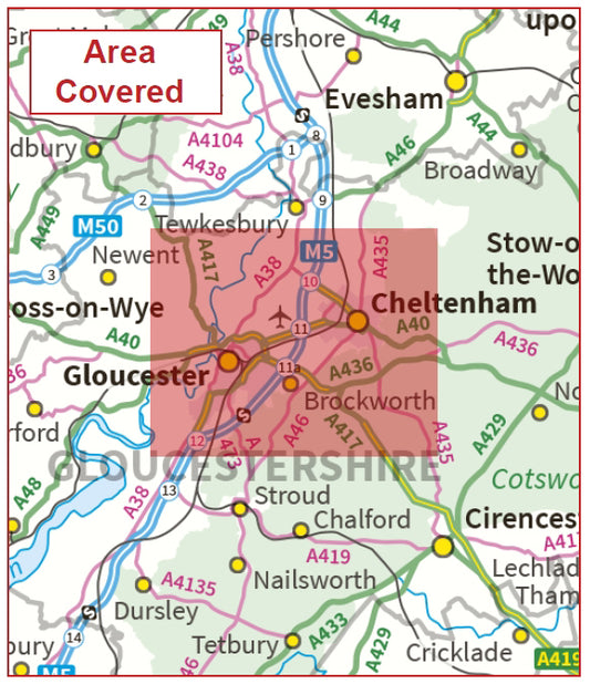
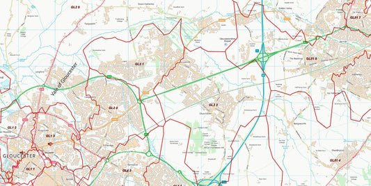
Postcode City Sector Map - Gloucester & Cheltenham - Digital Download
Regular price £9.99Regular price -
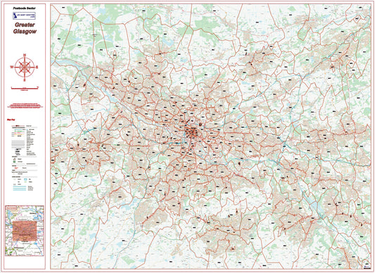
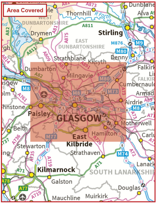
Greater Glasgow Postcode Sector Map | G Postcode Boundaries PDF Download
Regular price £9.99Regular price -
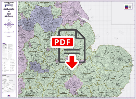
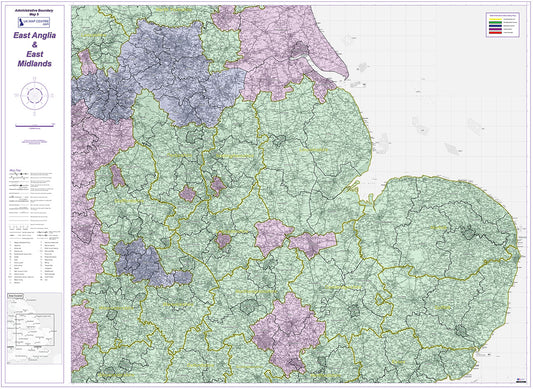
Admin Boundary Map 5 - East Midlands & East Anglia - Digital Download
Regular price £9.99Regular price -
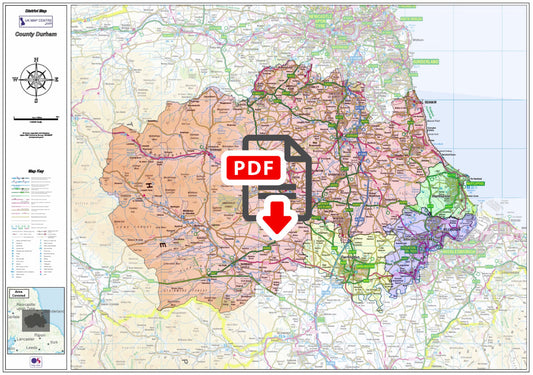
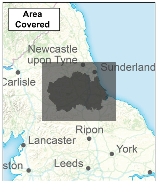
County Durham Boundary Map - Digital Download
Regular price £9.99Regular price -
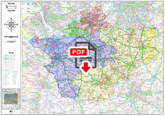
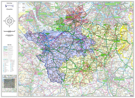
Cheshire County Boundary Map - Digital Download
Regular price £9.99Regular price -
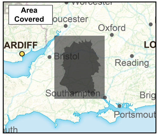
Wiltshire County Boundary Map - Digital Download
Regular price £9.99Regular price -
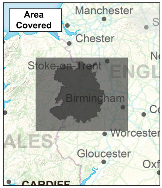
Shropshire County Boundary Map - Digital Download
Regular price £9.99Regular price -
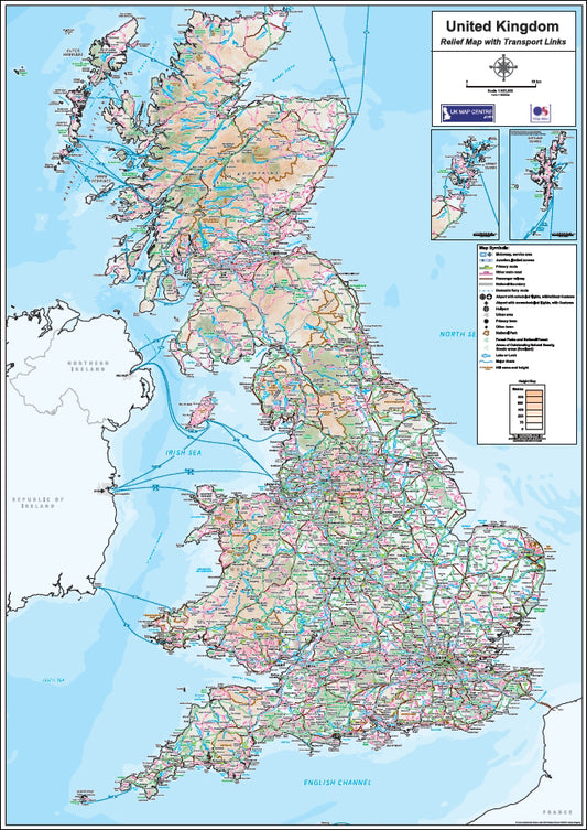
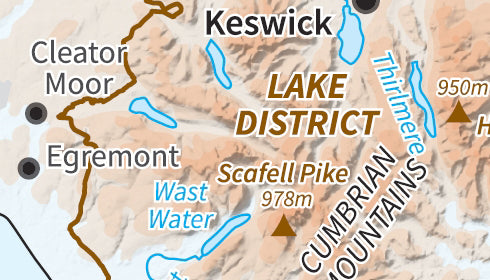
Relief Map 1 with Transport Links - Full UK - Digital Download
Regular price £9.99Regular price -
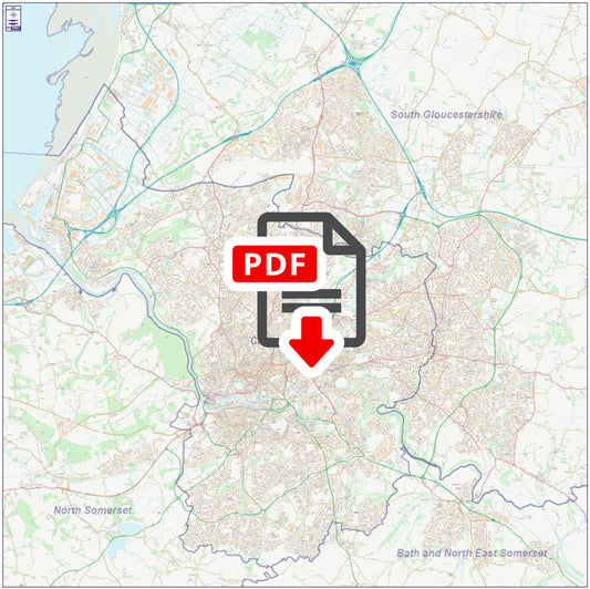
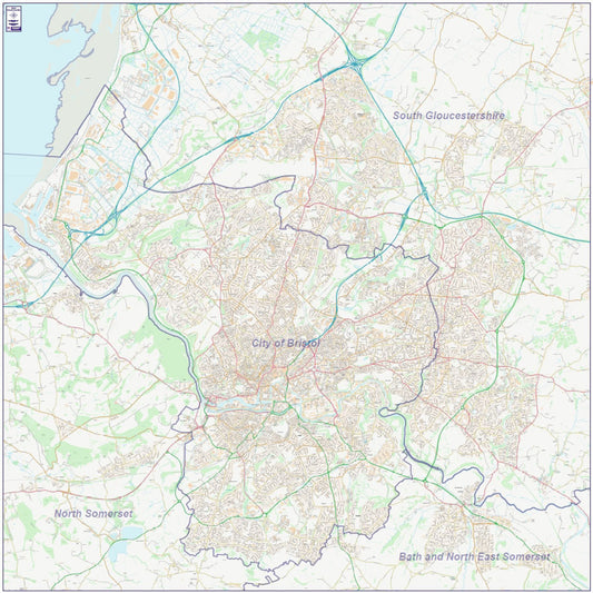
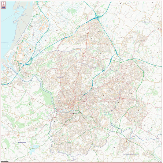
Central Bristol City Street Map - Digital Download
Regular price £9.99Regular price -
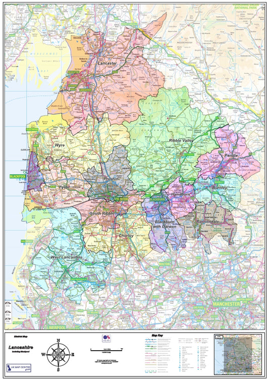
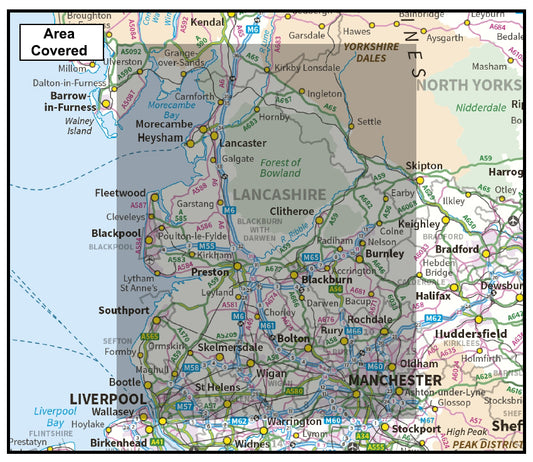
Lancashire County Map - Digital Download
Regular price £9.99Regular price -
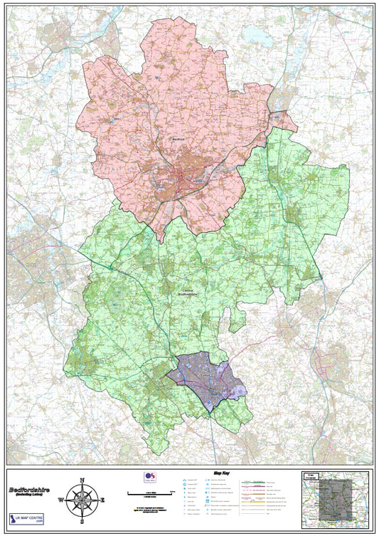
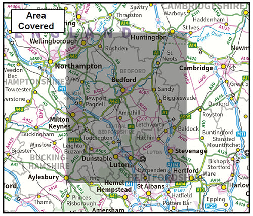
Bedfordshire County Map - Digital Download
Regular price £9.99Regular price -
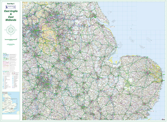
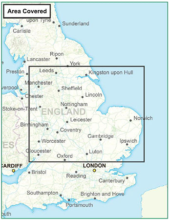
Road Map 5 - East Midlands & East Anglia - Digital Download
Regular price £9.99Regular price -
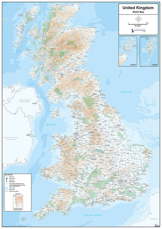
Relief Map 1 - Full UK - Digital Download
Regular price £9.99Regular price -
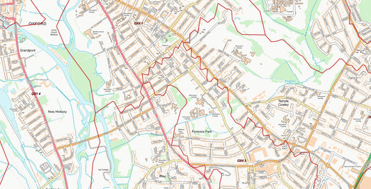
Central Oxford Postcode City Street Map - Digital Download
Regular price £9.99Regular price -
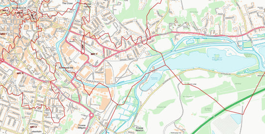
Central Norwich Postcode City Street Map - Digital Download
Regular price £9.99Regular price -
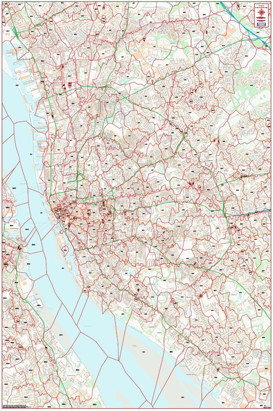
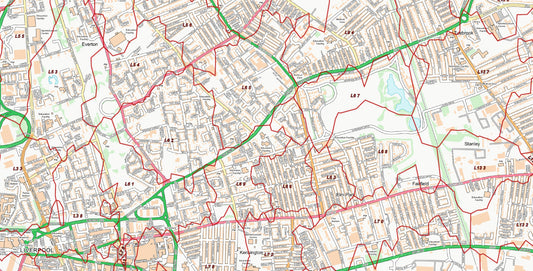
Central Liverpool Postcode City Street Map - Digital Download
Regular price £9.99Regular price -
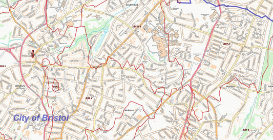
Central Bristol Postcode City Street Map - Digital Download
Regular price £9.99Regular price -
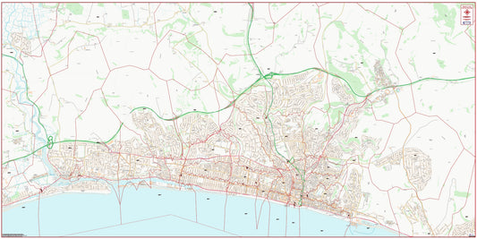
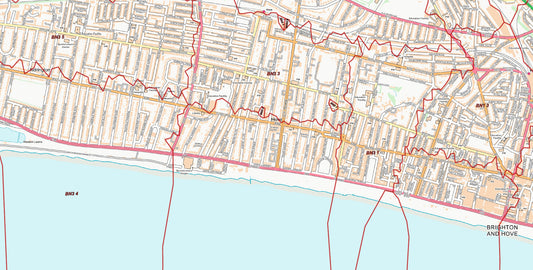
Central Brighton and Hove Postcode City Street Map - Digital Download
Regular price £9.99Regular price -
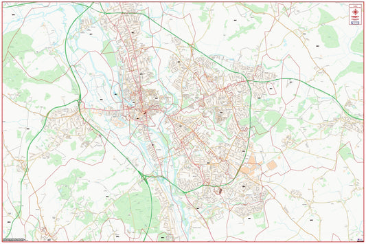
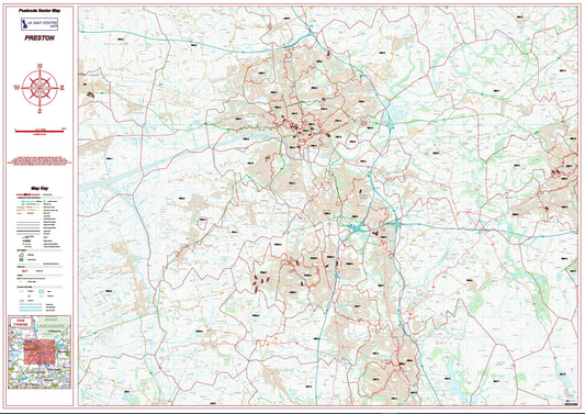
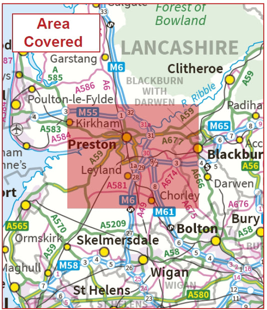
Postcode City Sector Map - Preston - Digital Download
Regular price £9.99Regular price -
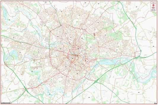
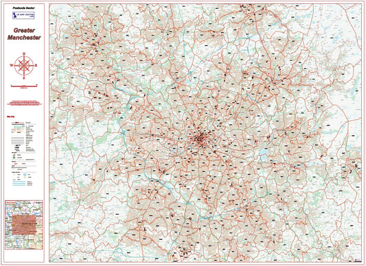
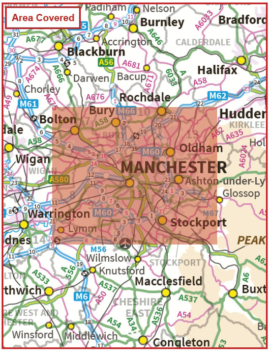
Greater Manchester Postcode Sector Map | M Postcode Boundaries PDF
Regular price £9.99Regular price -
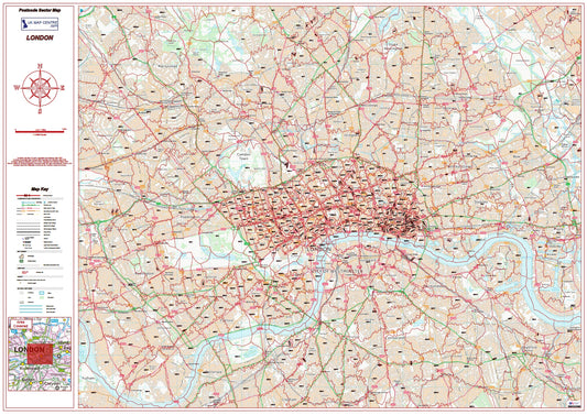
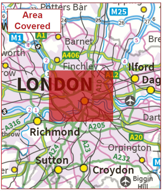
London Postcode Sector Map | Central London Postcode Boundaries PDF
Regular price £9.99Regular price -
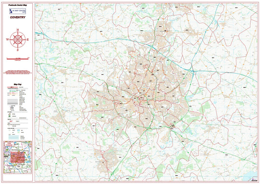
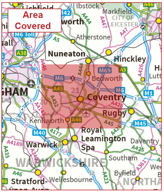
Coventry Postcode Sector Map | Warwickshire & CV Postcode Boundaries PDF
Regular price £9.99Regular price -
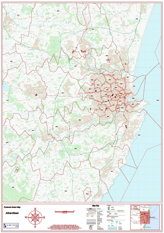
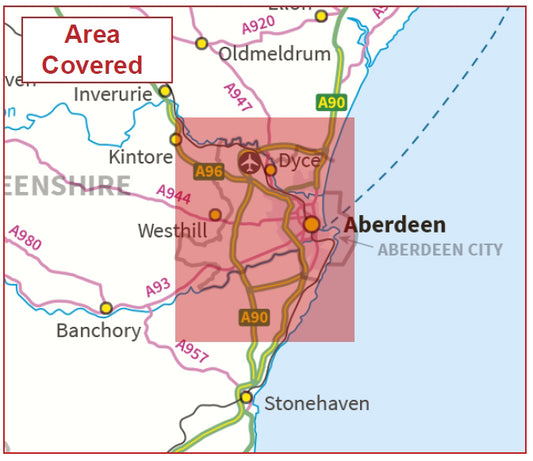
Aberdeen Postcode Sector Map | AB Postcode Boundaries PDF Download
Regular price £9.99Regular price