-
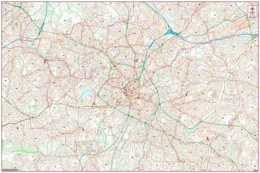
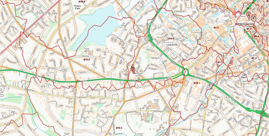
Central Birmingham Postcode City Street Map - Digital Download
Regular price £9.99Regular price -
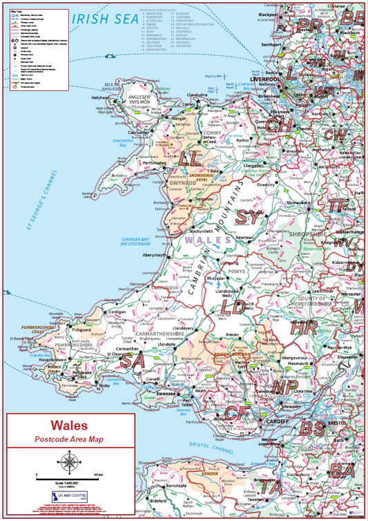
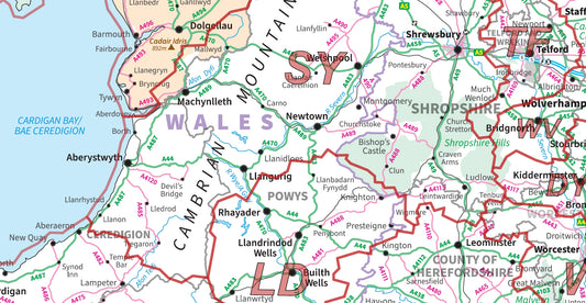
Compact Wales Postcode Area Map | Welsh Postcode Regions PDF Download
Regular price £5.99Regular price -
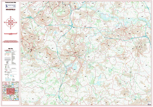
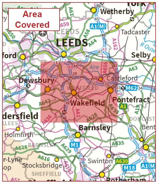
Postcode City Sector Map - Wakefield - Digital Download
Regular price £9.99Regular price -
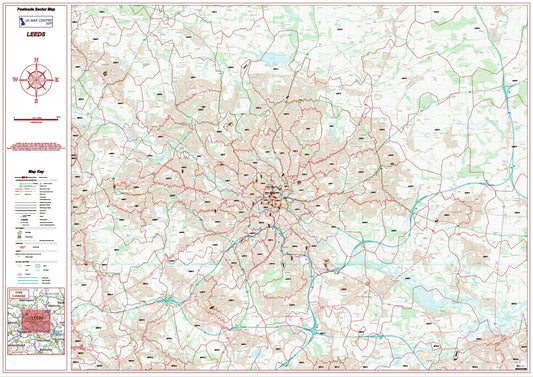
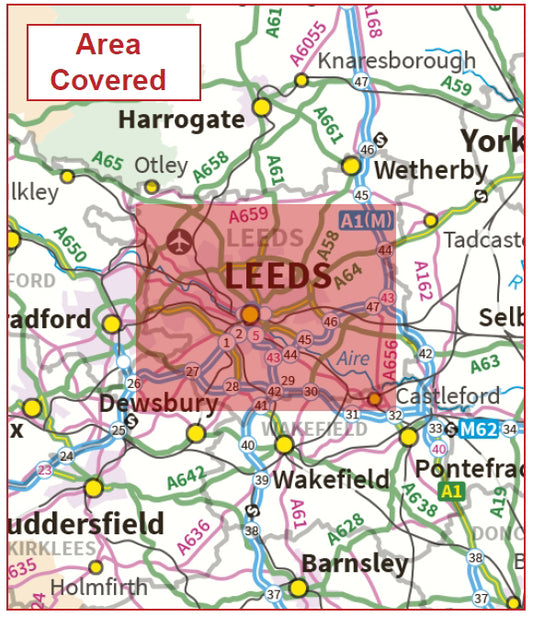
Leeds Postcode Sector Map | LS Postcode Boundaries PDF Download
Regular price £9.99Regular price -
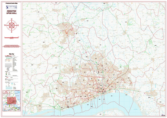
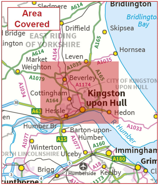
Postcode City Sector Map - Kingston-Upon-Hull - Digital Download
Regular price £9.99Regular price -
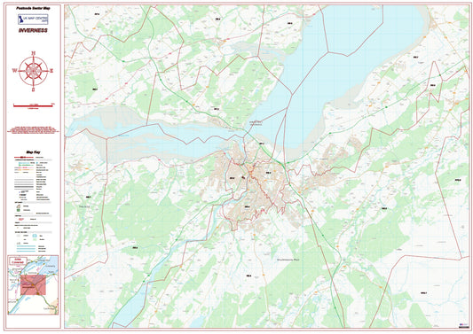
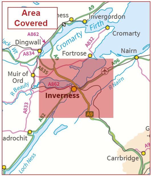
Postcode City Sector Map - Inverness - Digital Download
Regular price £9.99Regular price -
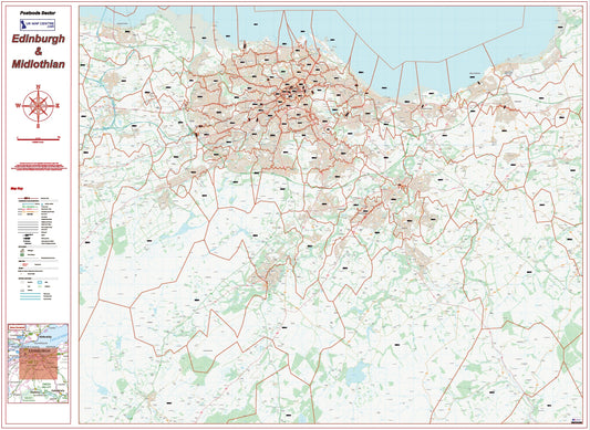
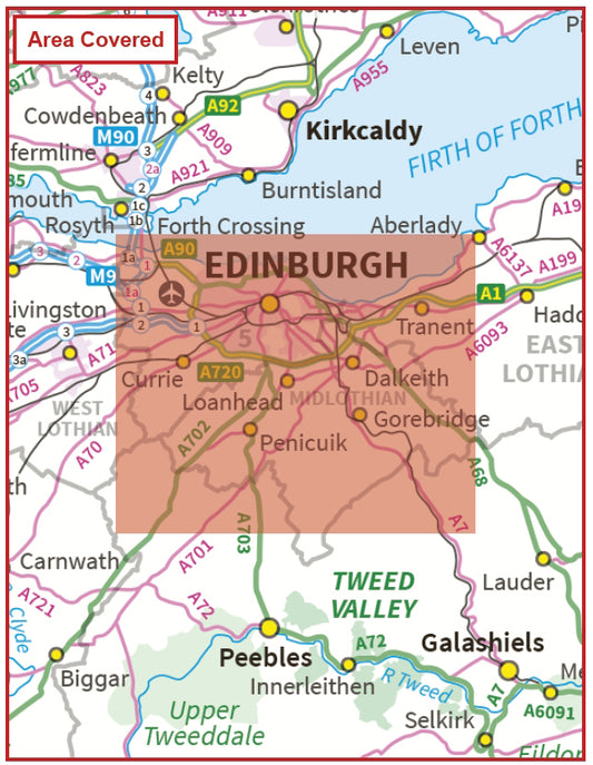
Postcode City Sector Map - Edinburgh and Midlothian - Digital Download
Regular price £9.99Regular price -
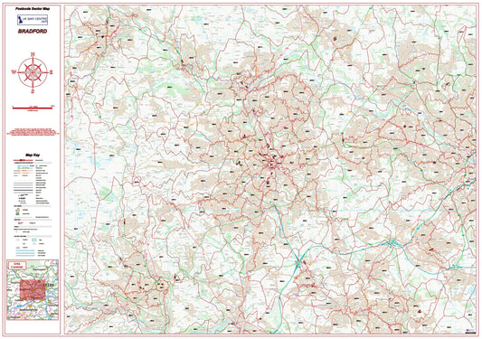
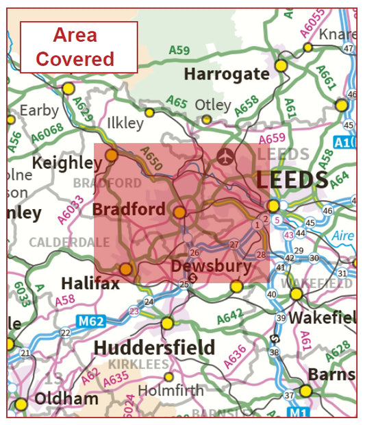
Postcode City Sector Map - Bradford - Digital Download
Regular price £9.99Regular price -
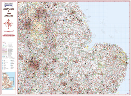
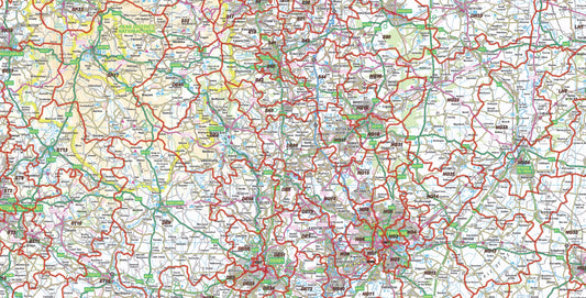
East Midlands Postcode District Map | East Anglia & Regional Boundaries PDF
Regular price £9.99Regular price -
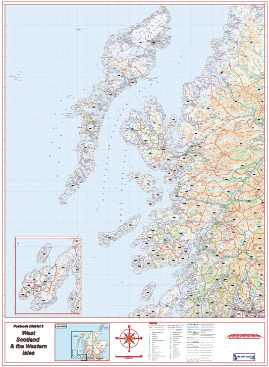
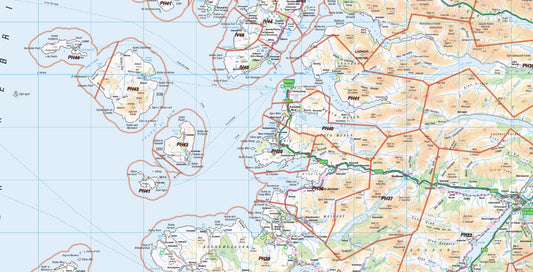
West Scotland Postcode District Map | Western Isles & Highlands PDF
Regular price £9.99Regular price -
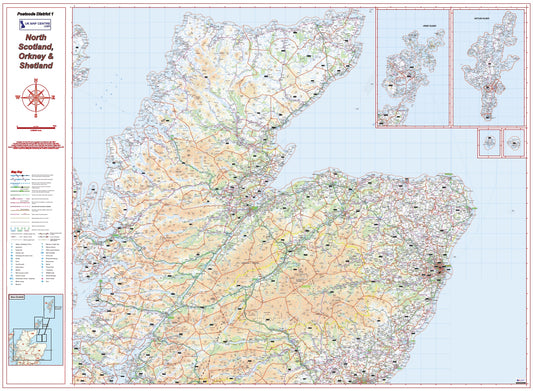
North Scotland Postcode District Map – Highlands, Orkney & Shetland
Regular price £9.99Regular price -
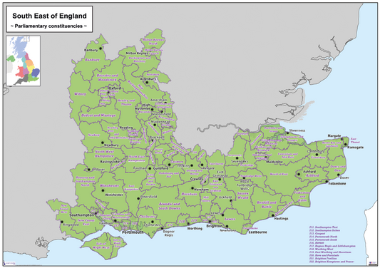
Regional UK Parliamentary Maps - South East of England - Digital Download
Regular price £5.00Regular price -
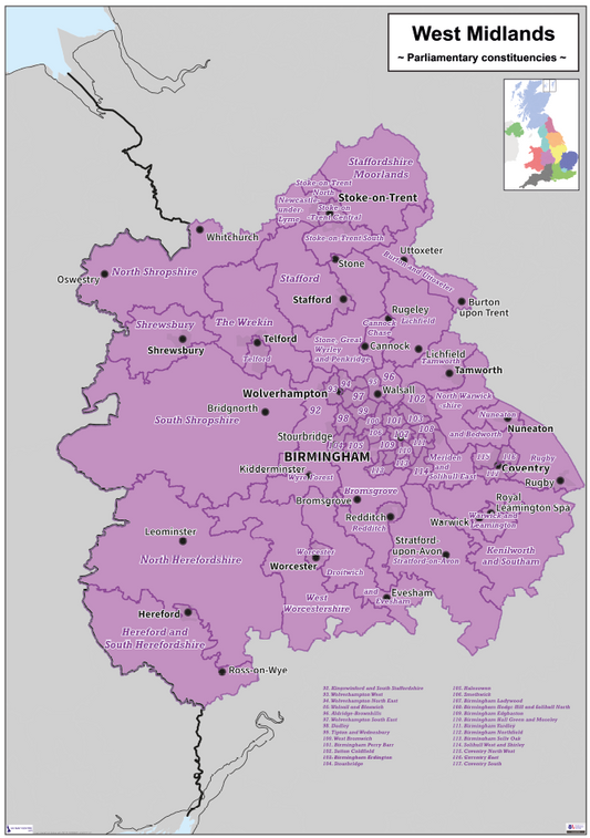
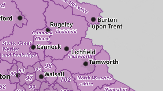
Regional UK Parliamentary Maps - West Midlands - Digital Download
Regular price £5.00Regular price -
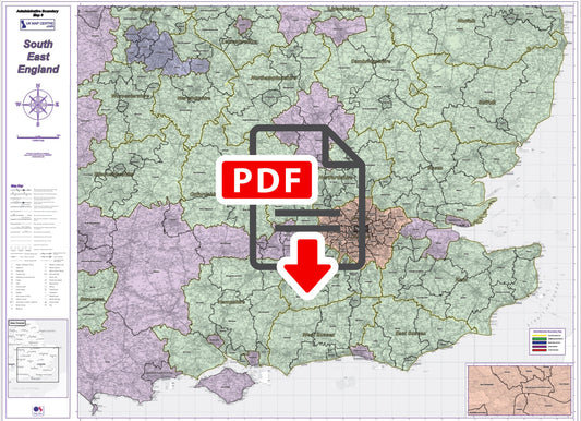
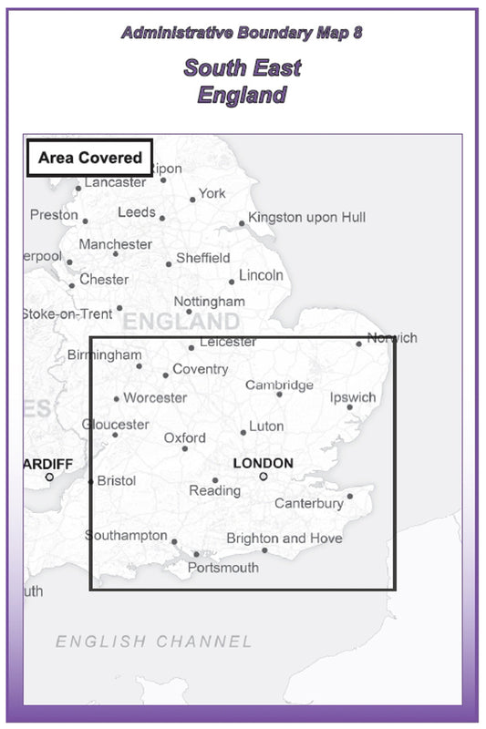
Admin Boundary Map 8 - South East England - Digital Download
Regular price £9.99Regular price -
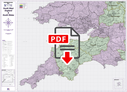
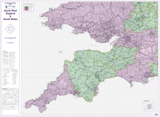
Admin Boundary Map 7 - South West England & South Wales - Digital Download
Regular price £9.99Regular price -
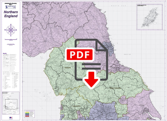
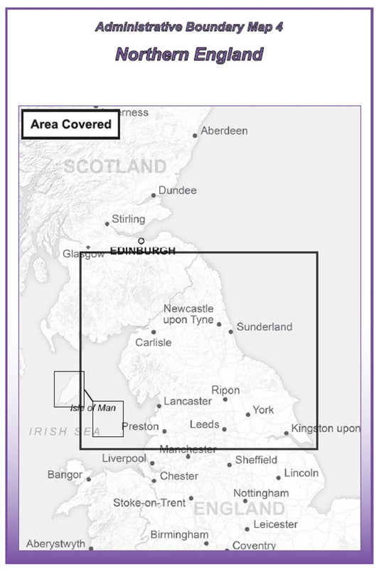
Admin Boundary Map 4 - Northern England - Digital Download
Regular price £9.99Regular price -
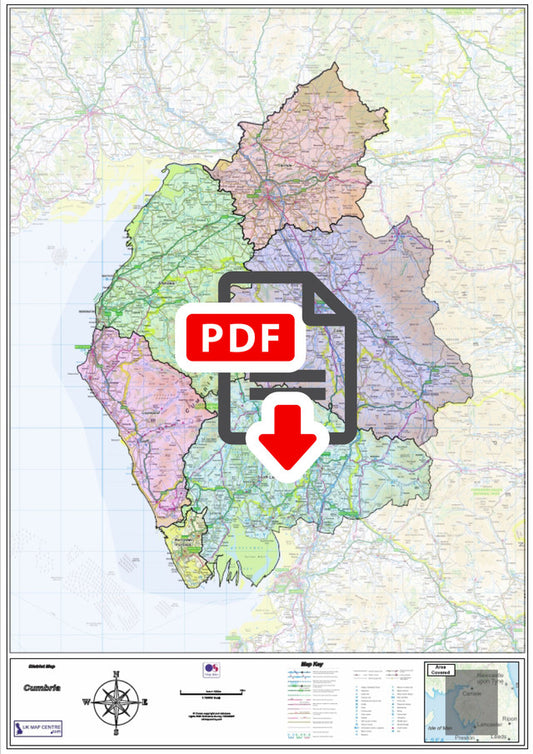
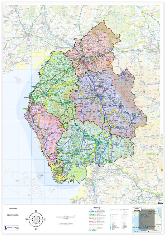
Cumbria County Boundary Map - Digital Download
Regular price £9.99Regular price -
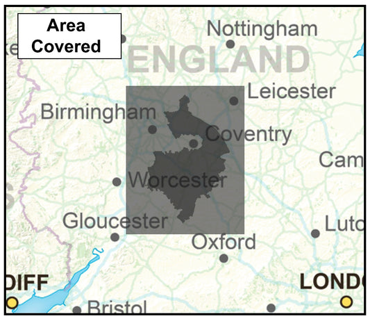
Warwickshire County Boundary Map - Digital Download
Regular price £9.99Regular price -
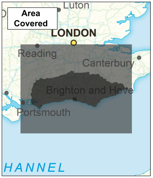
Sussex County Boundary Map - Digital Download
Regular price £9.99Regular price -
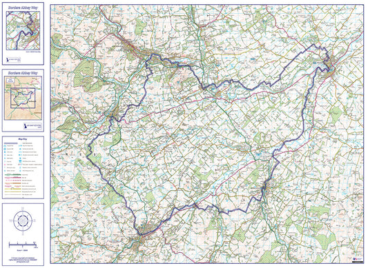
Borders Abbey Way Route Map - Digital Download
Regular price £9.99Regular price -
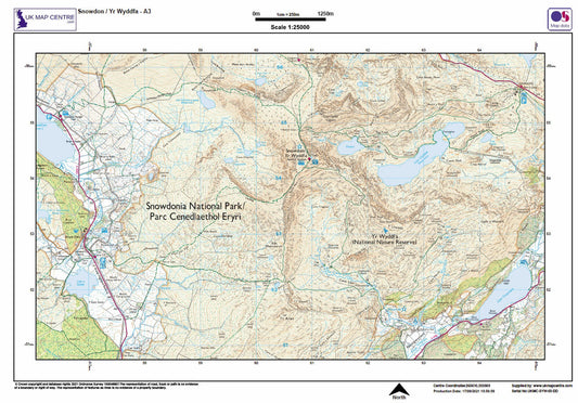
Snowdon / Yr Wyddfa 25k Southern and Eastern Routes - OS Walking Map Download
Regular price £3.00Regular price -
Relief Map 4 with Transport Links - Southern England & Wales - Digital Download
Regular price £9.99Regular price -
Relief Map 2 with Transport Links - Scotland - Digital Download
Regular price £9.99Regular price -
Central York City Street Map - Digital Download
Regular price £9.99Regular price