-
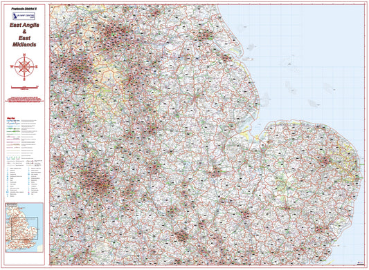
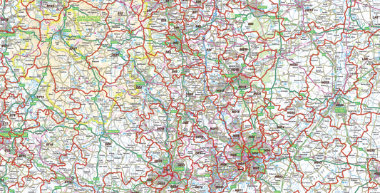
East Midlands Postcode District Map | East Anglia & Regional Boundaries PDF
Regular price £9.99Regular price -
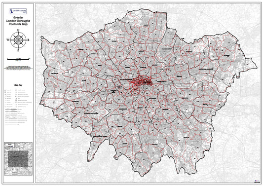
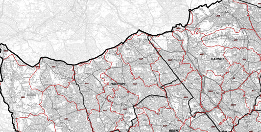
London Postcode District Map | SW, SE, E, N Postcode Boundaries PDF
Regular price £9.99Regular price -
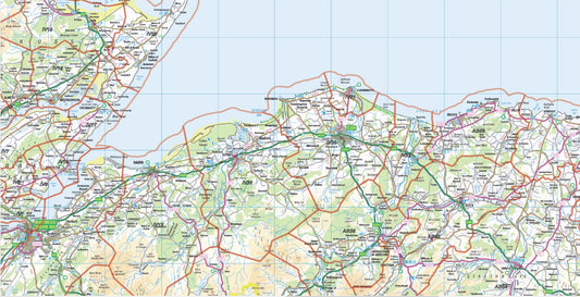
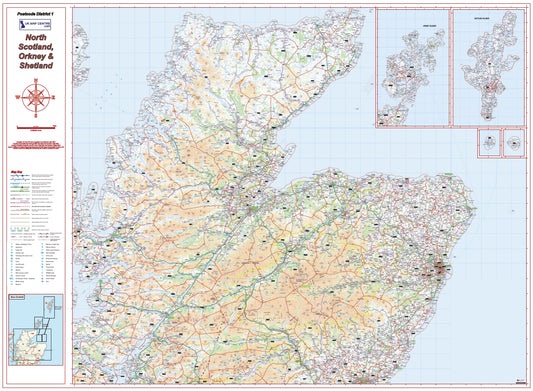
North Scotland Postcode District Map – Highlands, Orkney & Shetland
Regular price £9.99Regular price -
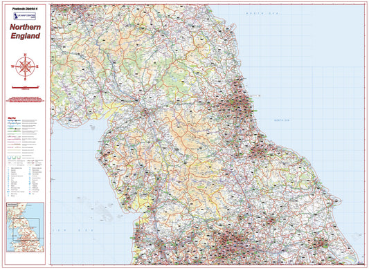
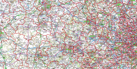
Northern England Postcode District Map | Detailed Postcode Boundaries PDF
Regular price £9.99Regular price -
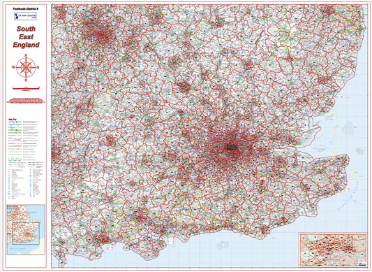
South East England Postcode District Map | London & Regional Boundaries PDF
Regular price £9.99Regular price -
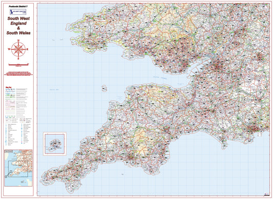
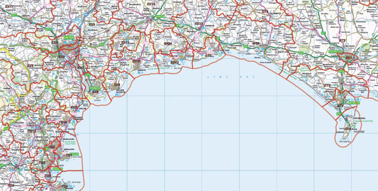
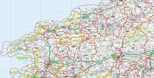
South West England Postcode District Map | South Wales & Regional Boundaries PDF
Regular price £9.99Regular price -
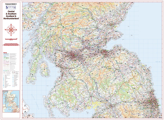
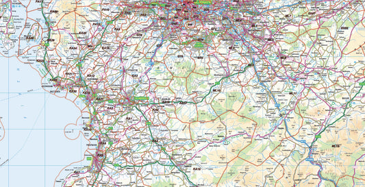
Southern Scotland Postcode District Map | Northumberland & Borders PDF
Regular price £9.99Regular price -
UK Postcode District Map (Full UK) | Postcode Boundaries PDF Download
Regular price £79.92Regular price -
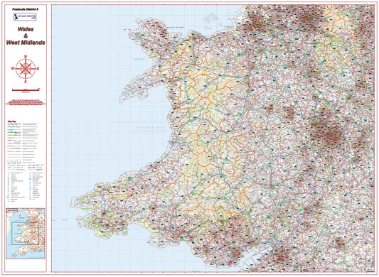
Wales & West Midlands Postcode District Map | Regional Boundaries PDF
Regular price £9.99Regular price -
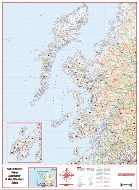
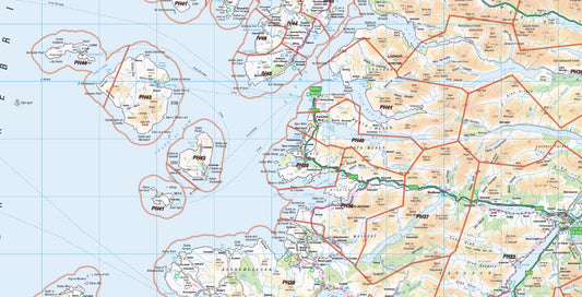
West Scotland Postcode District Map | Western Isles & Highlands PDF
Regular price £9.99Regular price


Postcode Map Types

Caption
Which Postcode Map Do You Need?

Caption