-
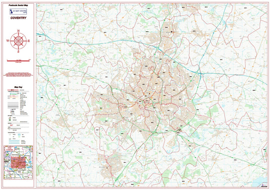
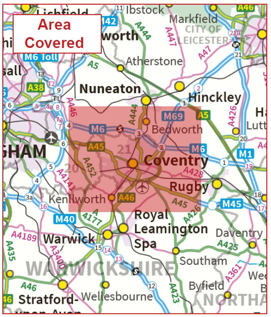
Coventry Postcode Sector Map | Warwickshire & CV Postcode Boundaries PDF
Regular price £9.99Regular price -
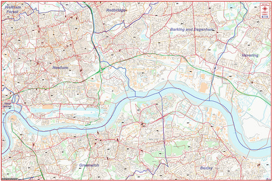
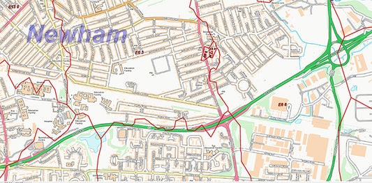
East London Postcode City Street Map - Digital Download
Regular price £9.99Regular price -
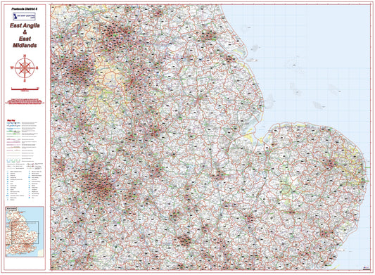
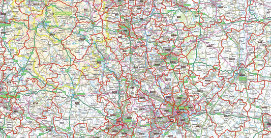
East Midlands Postcode District Map | East Anglia & Regional Boundaries PDF
Regular price £9.99Regular price -
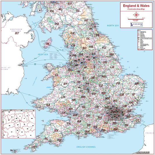
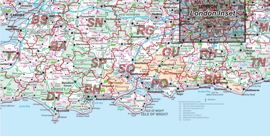
England & Wales Postcode Area Map | Full Postcode Regions Wall Map PDF
Regular price £9.99Regular price -
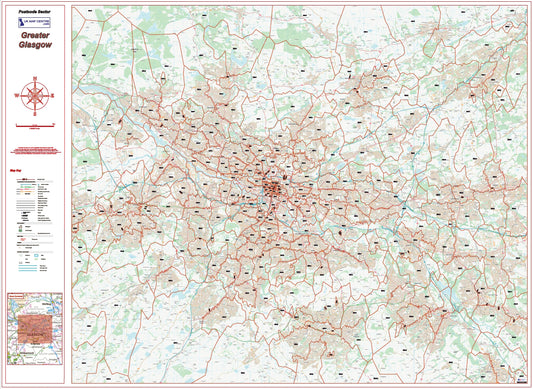
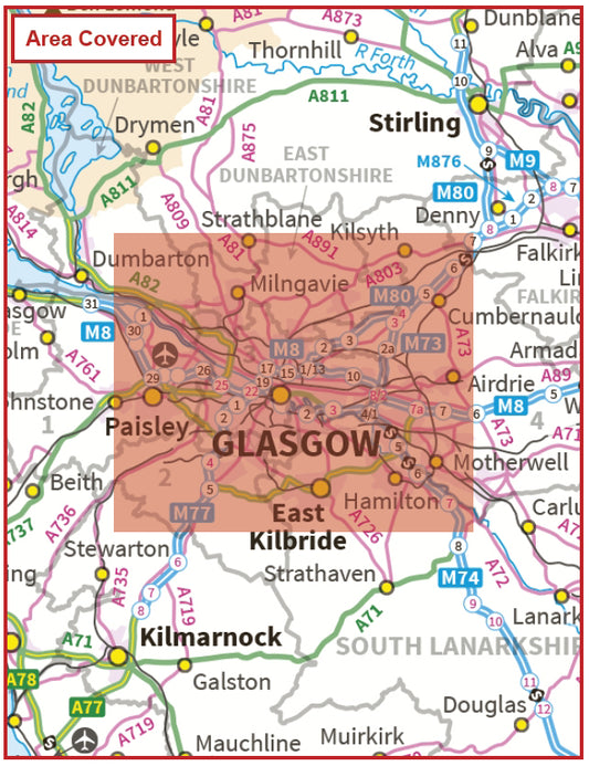
Greater Glasgow Postcode Sector Map | G Postcode Boundaries PDF Download
Regular price £9.99Regular price -
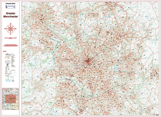
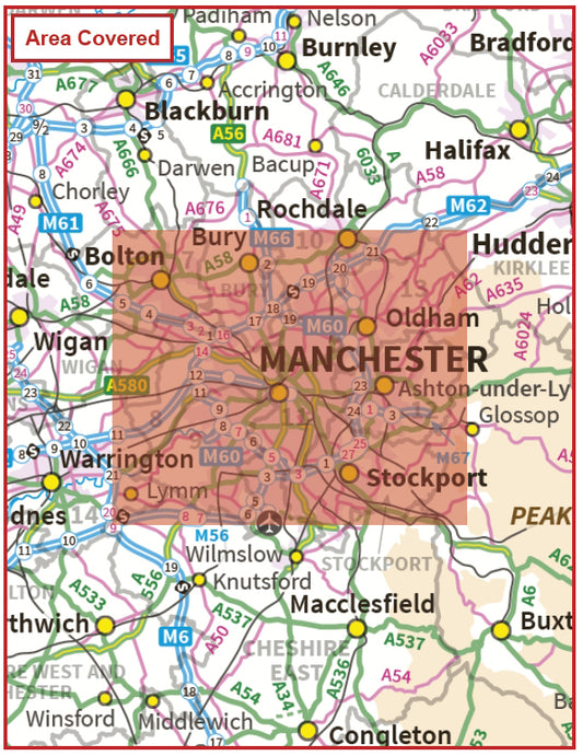
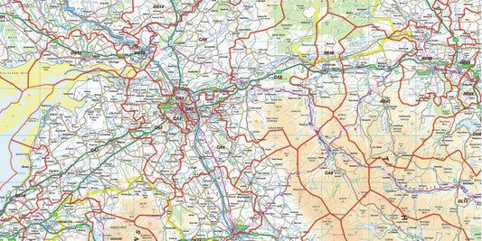
Greater Manchester Postcode Sector Map | M Postcode Boundaries PDF
Regular price £9.99Regular price -
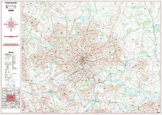
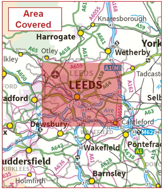
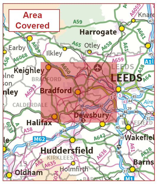
Leeds Postcode Sector Map | LS Postcode Boundaries PDF Download
Regular price £9.99Regular price -
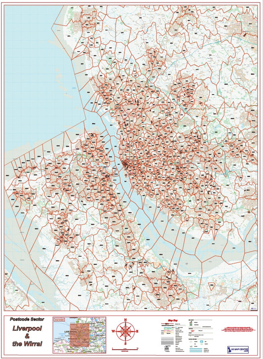
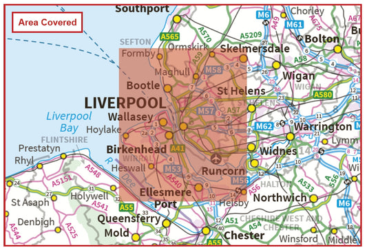
Liverpool Postcode Sector Map | Wirral & L Postcode Boundaries PDF
Regular price £9.99Regular price -
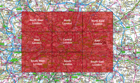
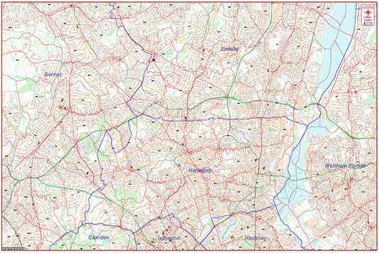
London Postcode City Street Maps | Full 9 Map Series PDF Download
Regular price £89.91Regular price -
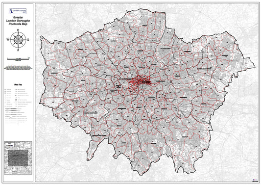
London Postcode District Map | SW, SE, E, N Postcode Boundaries PDF
Regular price £9.99Regular price -
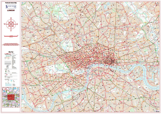
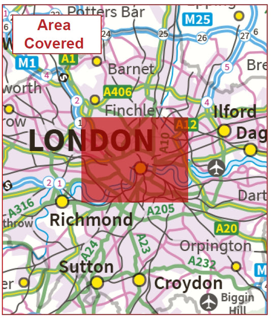
London Postcode Sector Map | Central London Postcode Boundaries PDF
Regular price £9.99Regular price -
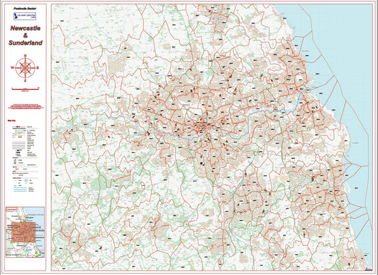
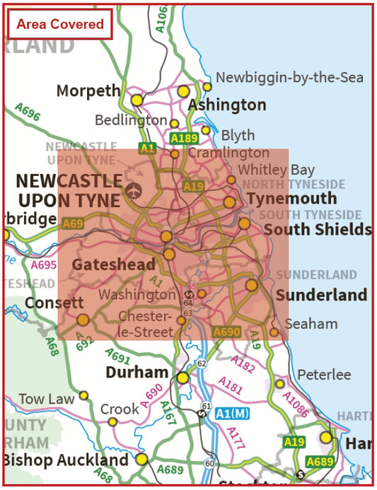
Newcastle Postcode Sector Map | Sunderland & NE Postcode Boundaries PDF
Regular price £9.99Regular price -
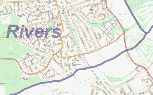
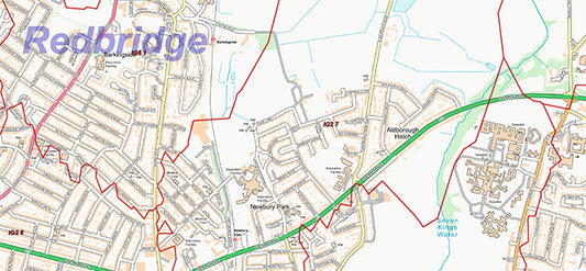
North East London Postcode City Street Map - Digital Download
Regular price £9.99Regular price -
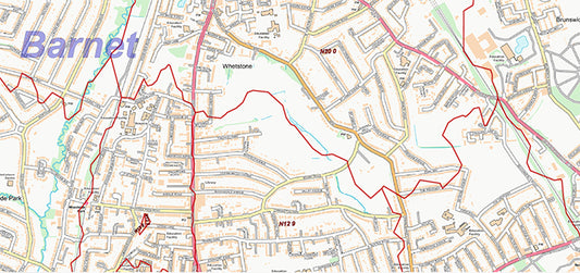
North London Postcode City Street Map - Digital Download
Regular price £9.99Regular price -
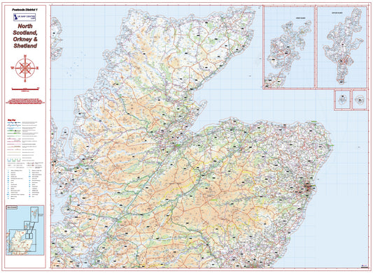
North Scotland Postcode District Map – Highlands, Orkney & Shetland
Regular price £9.99Regular price -
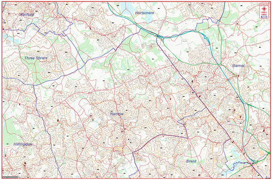
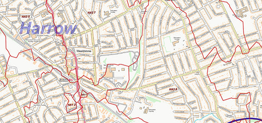
North West London Postcode City Street Map - Digital Download
Regular price £9.99Regular price -
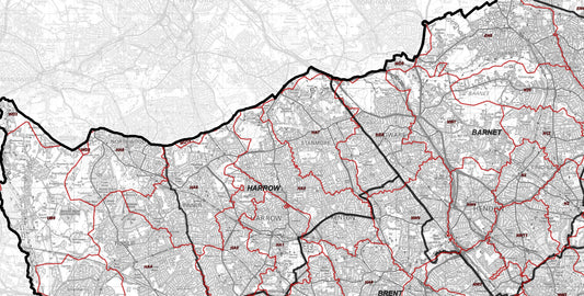
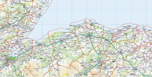
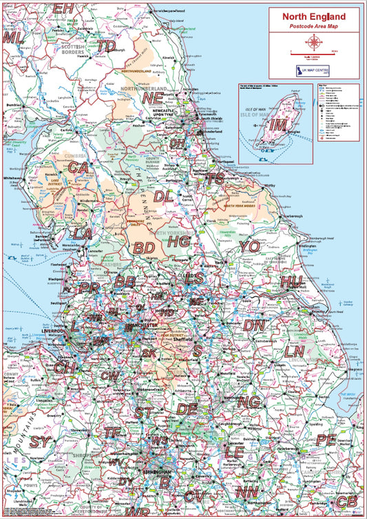
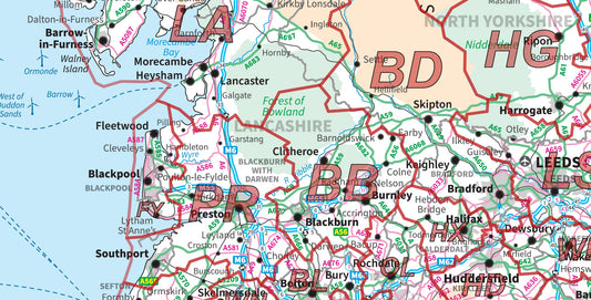
Northern England Postcode Area Map | UK North Postcode Regions PDF
Regular price £9.99Regular price -
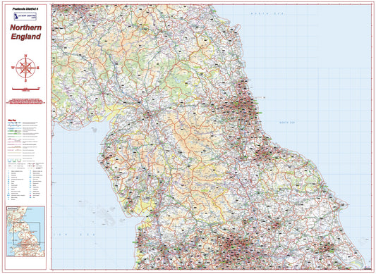
Northern England Postcode District Map | Detailed Postcode Boundaries PDF
Regular price £9.99Regular price -
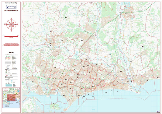
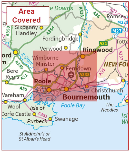
Postcode City Sector Map - Bournemouth - Digital Download
Regular price £9.99Regular price -
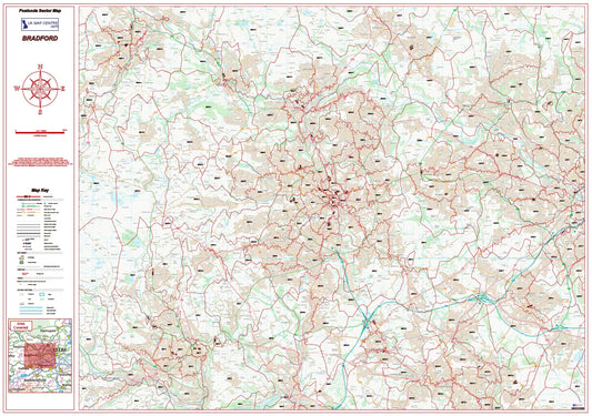
Postcode City Sector Map - Bradford - Digital Download
Regular price £9.99Regular price -
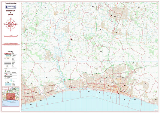
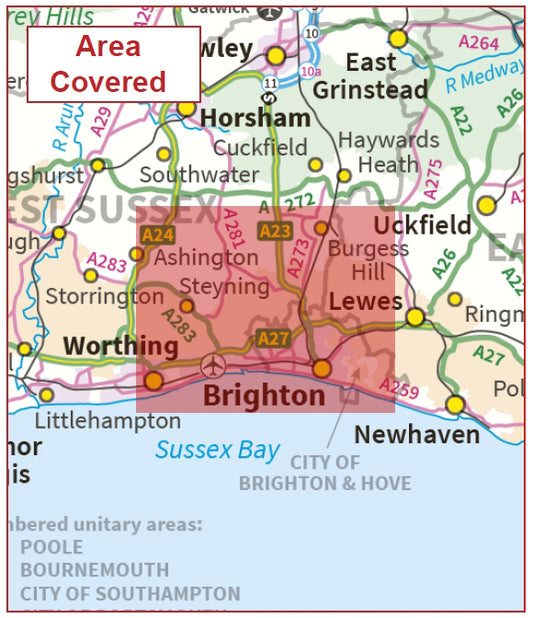
Postcode City Sector Map - Brighton & Hove - Digital Download
Regular price £9.99Regular price -
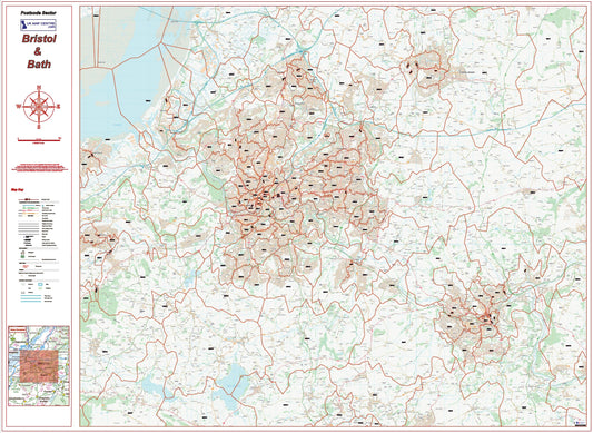
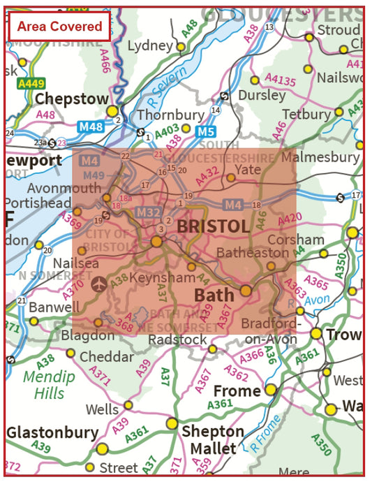
Postcode City Sector Map - Bristol & Bath - Digital Download
Regular price £9.99Regular price -
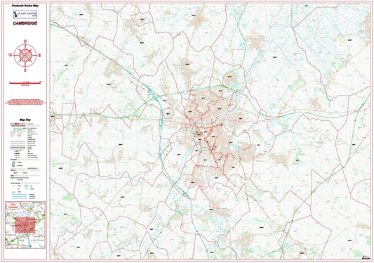
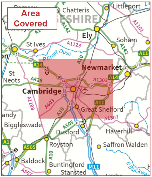
Postcode City Sector Map - Cambridge - Digital Download
Regular price £9.99Regular price -
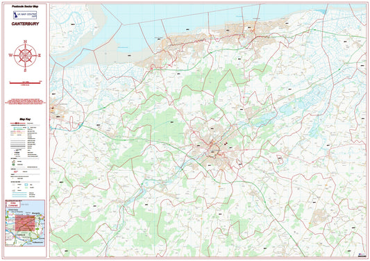
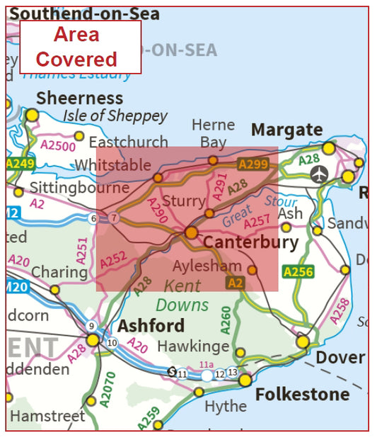
Postcode City Sector Map - Canterbury - Digital Download
Regular price £9.99Regular price