ukmaps.co.uk
Hadrian's Wall Route Map - Digital Download
Hadrian's Wall Route Map - Digital Download
Couldn't load pickup availability
Hadrian's Wall Path Route Map
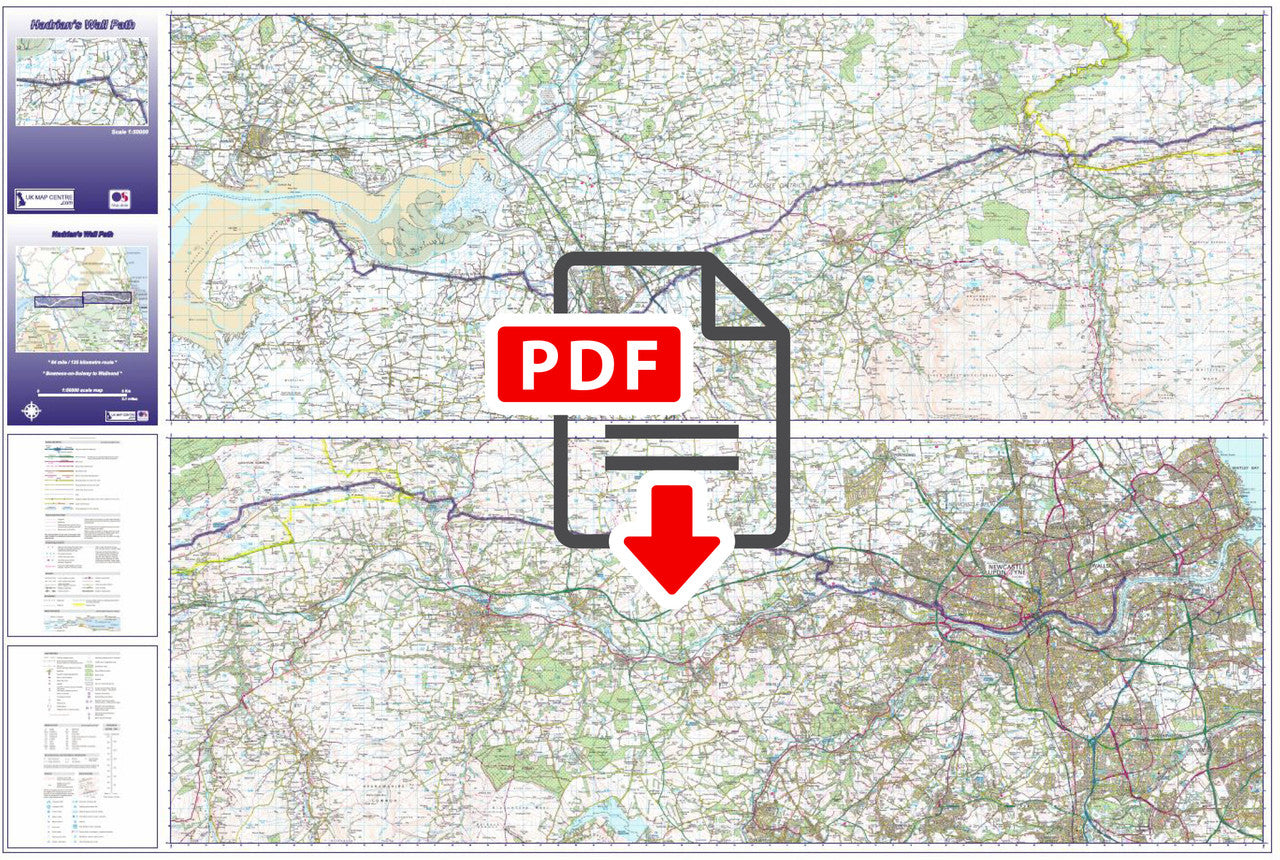
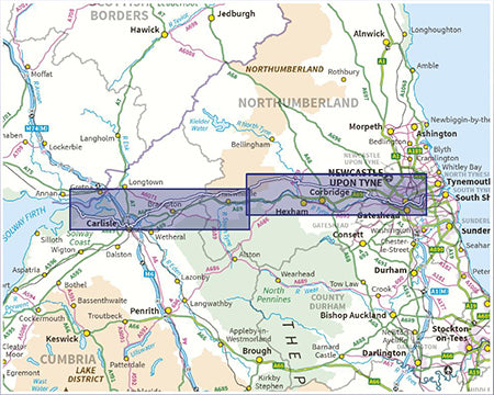
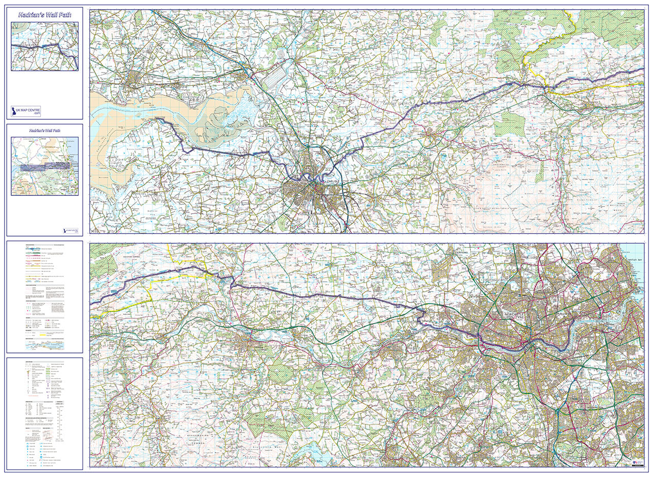
This route map covers the Hadrian's Wall Path National Trail — an 84-mile (135km) coast-to-coast walk from Wallsend on the River Tyne to Bowness-on-Solway on the Solway Firth. The path runs alongside one of the best-preserved Roman frontiers in the world and a UNESCO World Heritage Site, stretching across the full width of northern England.
About the Route
Built by the Emperor Hadrian from AD 122, Hadrian's Wall marked the northern frontier of Roman Britain for nearly 300 years. The National Trail follows the wall's line through Northumberland and Cumbria, passing ruined milecastles, turrets, and the major Roman forts of Chesters, Housesteads, Vindolanda, and Birdoswald. The most dramatic walking is through the Northumberland hills, where the wall follows the hard dolerite outcrop of the Whin Sill and the path gives far-reaching views in both directions. The eastern section passes through Newcastle and along the riverside to the coast. The walk is typically completed over 7–10 days.
What the Map Shows
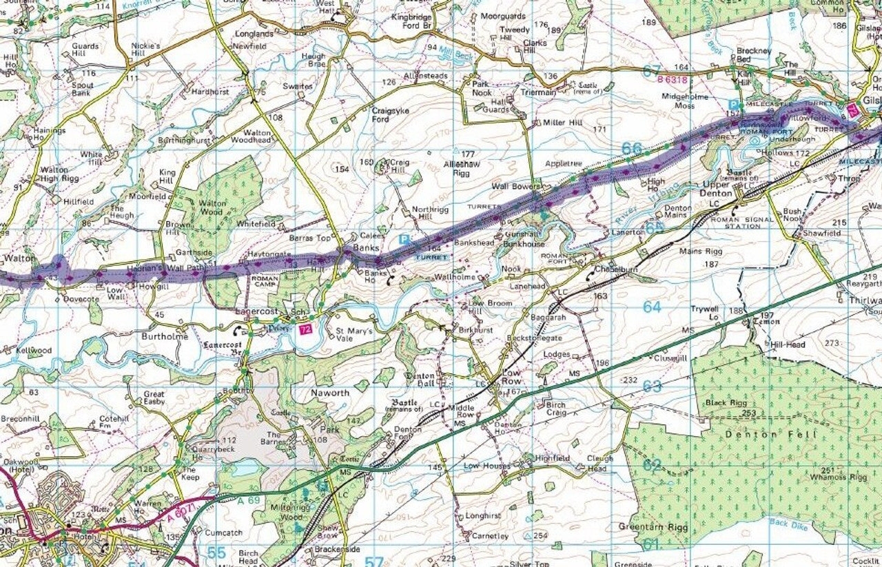
The route is divided into East and West sections, allowing the full 84-mile trail to fit on a single large-format sheet. The path is highlighted in blue on a 1:50,000 OS mapping background, making it straightforward to identify the trail and locate surrounding features including Roman sites, towns and villages, campsites, and public transport links. Key visitor sites along and close to the wall are clearly marked. The map measures 1,440mm x 960mm at actual size — suitable for printing at a large-format print shop.
Map Details
Produced from up-to-date Ordnance Survey 1:50,000 scale mapping. Supplied as a high-resolution 300 dpi PDF for immediate download. If printed at actual size the map measures 1,440mm x 960mm. Download supplied on order completion.
Share
FAQ's
Digital Download: Short T&C's
Digital Download Products can not be returned once a purchase has been made. Please read the T&C's before making a purchase. Please Note: Once you place an order the file will be available to download for 14 days. If you intend to make multiple prints of the map you should increase the quantity box accordingly.
Digital Downloads
How will my files be supplied?
Map files are supplied in PDF format and are available to download immediately after payment has completed on the Thank You page through a displayed download link. If you miss this the download link is also emailed to you, so make sure you can access the email address entered at checkout.
Help! I've clicked the download link and I am getting an error or it's telling me the 'link has expired'. Can you help?
Of Course we can help! When you click the download link the file should start downloading via the browser. Usually you can see a download starting at the top right of the browser page, but it is easy to miss. Most PC's and laptops are set up to send downloaded files to the Download folder on the device so it's always worth checking there. If you can't find it get in touch and we'll help get you the file.
Printing the Map Files
Do you supply Printed Maps?
No, we only supply OS mapping in digital format - most often in PDF format. This is easy to open and use on most electronic devices and is also very easy to print from.
Can I have my map files printed?
We don't offer a printing service, but you can take your map file to a local printing company, or send it by email to a national company to have the file printed to your specification.
More Printing Queries
Can I change the print size when I get the map file printed?
We do not recommend changing the print size. All the map files have been created to be printed at Actual Size. This keeps it easy when it comes to printing, just print it at the size it's supposed to be. If the file is scaled then it could become blurry, blocky or otherwise illegible.
Licencing
Can I print a map from the file I've bought?
Yes, typically you are licenced to print one copy of the map from the file purchase. If you want more prints please increase the number of items you want to purchase in the Quantity box.
Can I use the map or parts of it online?
No, you can not publish the file online without the correct licence. This can be obtained from OS, please contact us for more information.
Custom Maps
If you can't find a map to suit your needs we will happily quote you for a custom map.
Email your request to: custom@ukmapcentre.com or complete our online custom request form via this link > Custom Map Form
Subscribe to our emails
Be the first to know about new collections and exclusive offers.