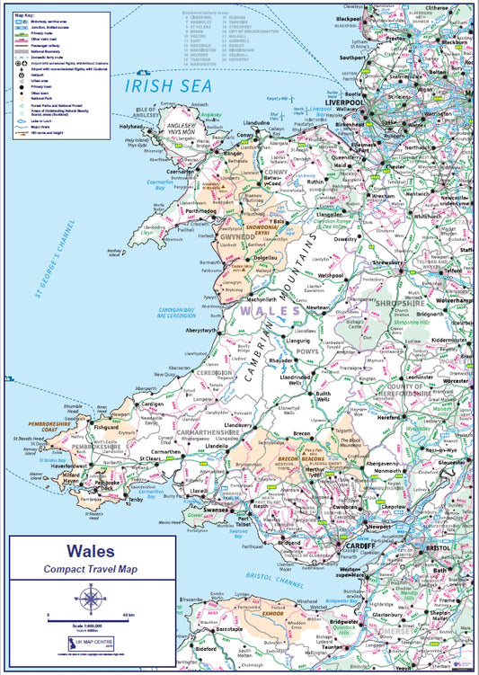
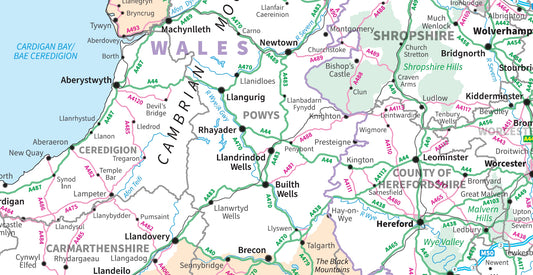
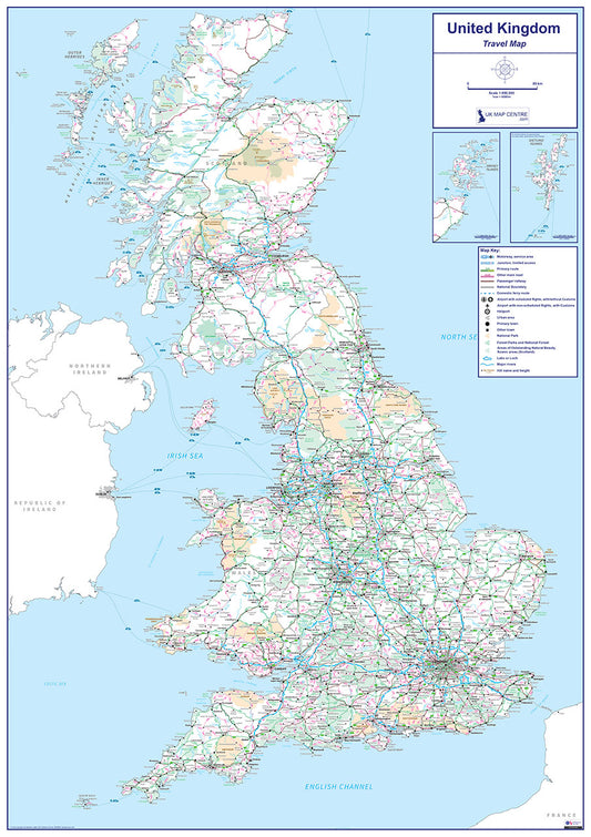
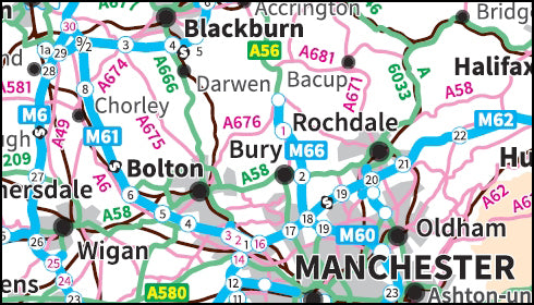
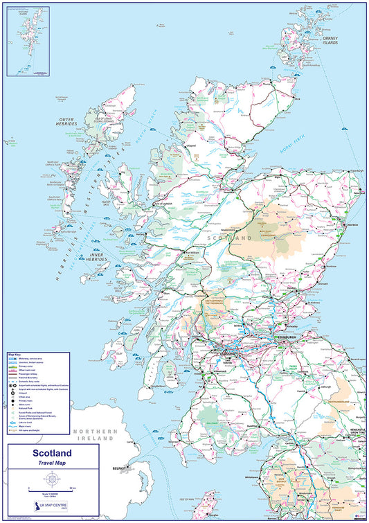
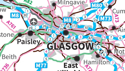
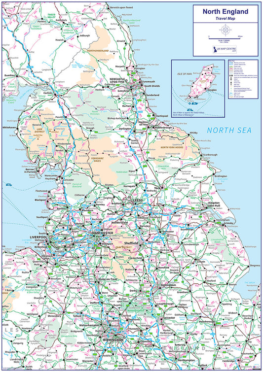
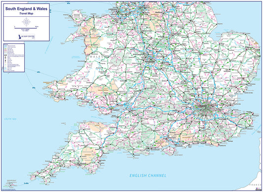
Collection: Travel Map
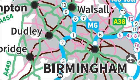
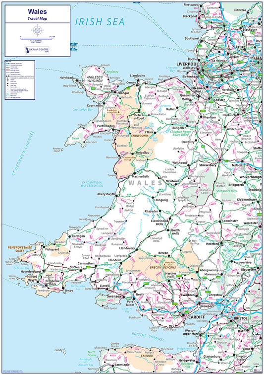
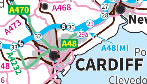
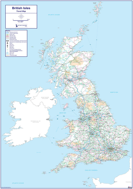
Our Travel Map series covers the United Kingdom and its major regions using Ordnance Survey Miniscale mapping at 1:1,000,000 scale. Each map shows the full road, rail and ferry communication network, with cities, towns and key locations clearly marked and a legend identifying the transport symbols used.
Available in full UK, regional and compact formats, the series covers Scotland, Northern England, Southern England & Wales, Wales, England & Wales, and the full British Isles. Whether you need a national overview for office planning or a clear reference map for a specific region, the Travel Map series provides the detail you need in a clean, easy-to-read format.
All maps are supplied as high-resolution 300 dpi PDFs measuring 841mm x 1,189mm when printed at actual size. Available for instant download at £9.99 on order completion.