
ukmaps.co.uk
OS 50k Raster Tiles by UK County & Shire (1:50,000 Ordnance Survey GeoTIFF Maps)
OS 50k Raster Tiles by UK County & Shire (1:50,000 Ordnance Survey GeoTIFF Maps)
OS 1:50,000 raster tiles are georeferenced GeoTIFF map tiles providing complete coverage of Great Britain at a national mapping scale. This product supplies OS 50k mapping data pre-packaged by UK counties and historic shires, making it easy to obtain full regional coverage without selecting individual tiles.
Based on the Ordnance Survey 1:50,000 colour raster dataset, these tiles are ideal for GIS mapping, strategic planning, and large-area analysis. County-based bundles simplify data acquisition and ensure consistent mapping across administrative regions.
What Makes These Tiles Different?
What Makes These Tiles Different?
Unlike standard OS raster tiles supplied individually, this product groups tiles into county and shire-based datasets, allowing you to:
- download full county coverage in a single purchase
- avoid selecting multiple 20km tiles manually
- ensure seamless mapping across large areas
- streamline workflows for regional and national projects
This makes the dataset particularly suitable for broad-area mapping and multi-region analysis.
What are OS Raster Tiles?
What are OS Raster Tiles?
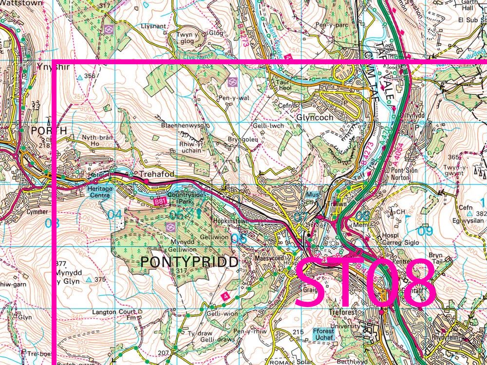
OS 50k raster tiles are digital map images supplied in GeoTIFF format, fully georeferenced to the National Grid. Each tile covers an area of 20km × 20km, providing a wider geographic overview than larger-scale datasets.
They include:
major roads and transport networks
towns and settlements
rivers, lakes, and terrain features
key landscape and topographic information
This dataset is the digital equivalent of the OS Landranger map series, widely used for national and regional mapping.
Key Features & Specifications
Key Features & Specifications
- Scale: 1:50,000
- Tile size: 20km × 20km
- Format: GeoTIFF (georeferenced)
- Coverage: Great Britain
- Data type: Raster mapping
- Compatible with GIS, CAD, and mapping software
- Supplied as grouped county or shire datasets
These tiles provide an efficient way to map large geographic areas with a consistent and recognisable cartographic style.
Coverage by UK Counties & Shires
Coverage by UK Counties & Shires
Tiles are grouped into county and historic shire areas, enabling quick access to mapping for:
- English counties (e.g. Yorkshire, Cornwall, Northumberland)
- Scottish historic counties
- Welsh counties
This approach is ideal for projects requiring wide-area coverage, including:
- regional planning and infrastructure projects
- environmental and land-use analysis
- transport and network mapping
- strategic development studies
Common Uses
Common Uses
OS 50k raster tiles are widely used for:
- large-area GIS mapping and analysis
- strategic planning and reporting
- infrastructure and transport mapping
- environmental and regional studies
- national-scale mapping projects
The 1:50,000 scale is ideal for providing clear geographic context across large areas.
Why Choose County-Based Tile Bundles?
Why Choose County-Based Tile Bundles?
Combining 1:50,000 mapping with county-based delivery offers:
- faster access to large datasets
- simplified purchasing and selection
- reduced GIS setup time
- consistent mapping across regions
This is particularly valuable for users working across multiple counties or nationwide projects.
Delivery & Licensing
Delivery & Licensing
- Fast digital delivery
- Licensed Ordnance Survey data
- Supplied in ready-to-use GeoTIFF format
- Suitable for GIS, CAD, and mapping applications
FAQs
FAQs
Are these standard OS 50k raster tiles?
Yes, but supplied as grouped datasets covering full counties or shires.
What format are the tiles supplied in?
GeoTIFF format with embedded georeferencing.
What area does each tile cover?
Each tile covers 20km × 20km.
Do I need GIS software?
Yes, tiles are designed for use in GIS platforms such as QGIS or ArcGIS.
What are OS 50k maps used for?
They are commonly used for regional mapping, infrastructure planning, and large-scale spatial analysis.
Couldn't load pickup availability
Need a Smaller Area? Check out our individual Pages for making custom areas:
Share
About Digital Download Maps
About the County OS Tiles Series
We've created a one-stop place to get OS Map Tiles by County - ideal for councils, public bodies and large companies looking to get quick access to OS data for the Counties across the UK
Terminals and Usage
The Terminals selector is a required field in which you indicate on how many devices or terminals the data will be used. This information is supplied to OS for copyright compliance.
OS Tile data purchased from the UK Map Centre can only be used for Internal Business Use only. This data can not be re-soled or used for commercial gain. Please see our Terms and Conditions here
Brief Terms - OS Tiles
Digital Download Products can not be returned once a purchase has been made. Please read the T&C's before making a purchase.
Please Note:
Once you place an order the file will be available to download for 14
days. If you have a any queries about licencing or terminals please do not hesitate to get in touch.
Subscribe to our emails
Be the first to know about new collections and exclusive offers.