-
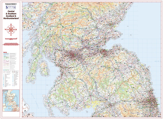
Southern Scotland Postcode District Map | Northumberland & Borders PDF
Regular price £9.99Regular price -
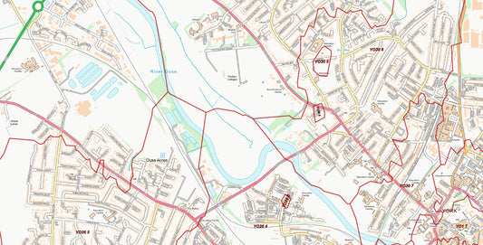
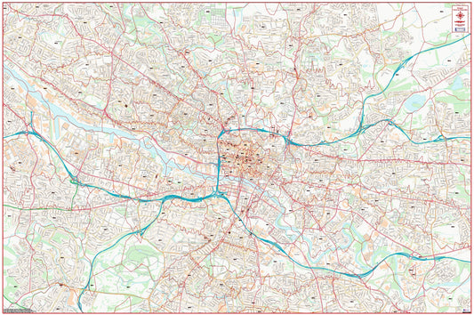
Central York Postcode City Street Map - Digital Download
Regular price £9.99Regular price -
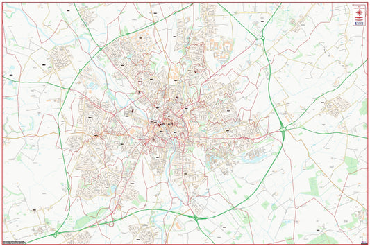
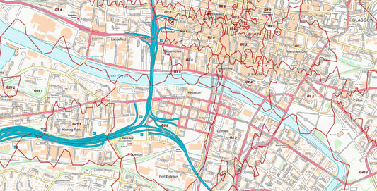
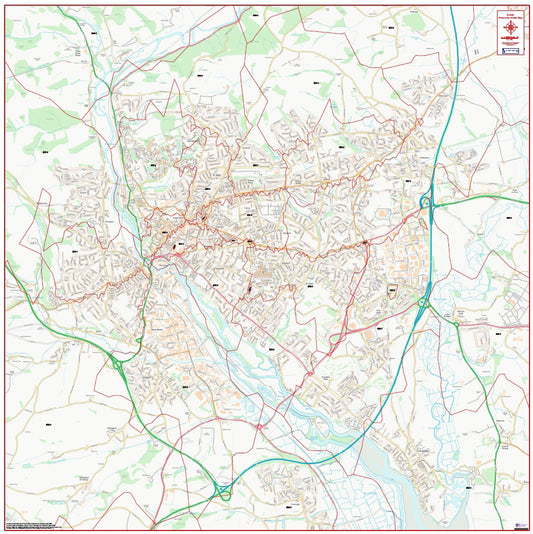
Central Glasgow Postcode City Street Map - Digital Download
Regular price £9.99Regular price -
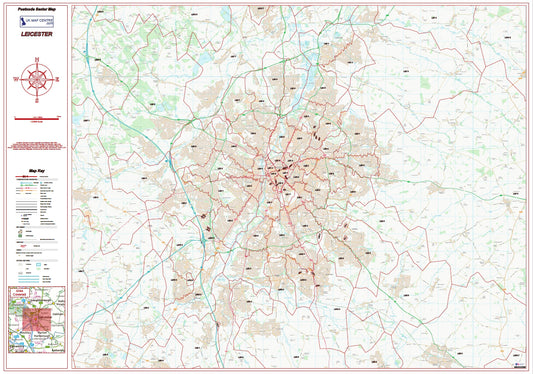
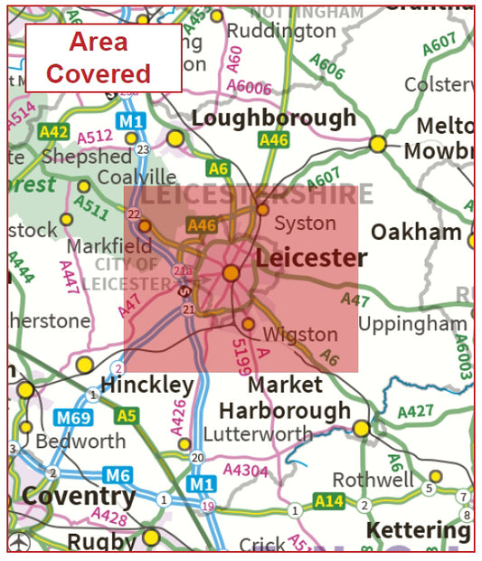
Postcode City Sector Map - Leicester - Digital Download
Regular price £9.99Regular price -
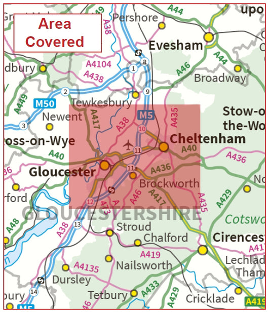
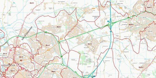
Postcode City Sector Map - Gloucester & Cheltenham - Digital Download
Regular price £9.99Regular price -
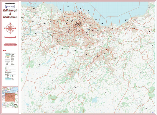
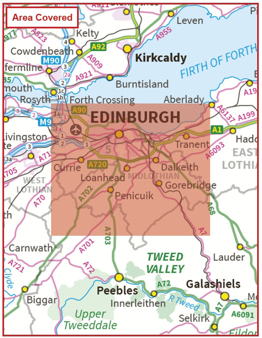
Postcode City Sector Map - Edinburgh and Midlothian - Digital Download
Regular price £9.99Regular price -
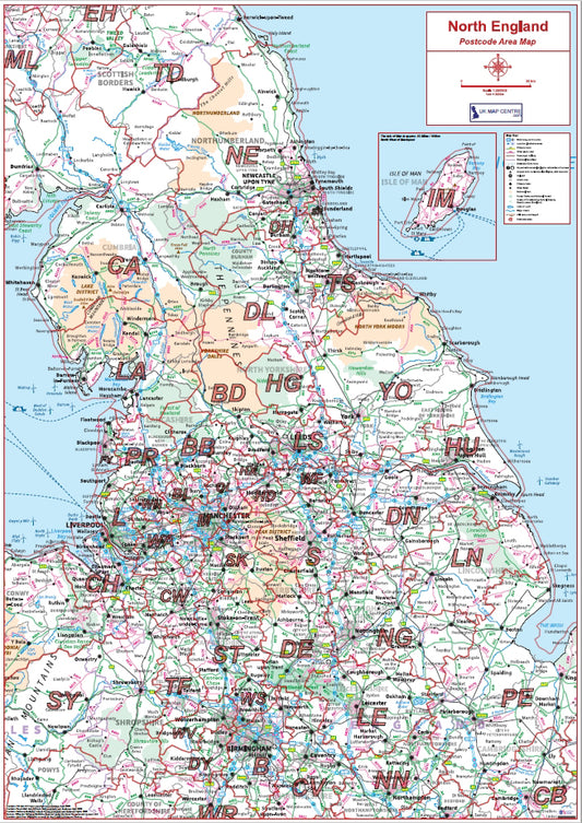
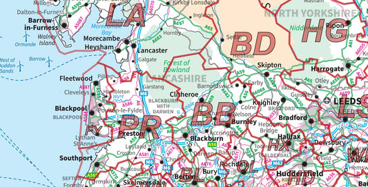
Northern England Postcode Area Map | UK North Postcode Regions PDF
Regular price £9.99Regular price -
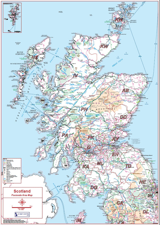
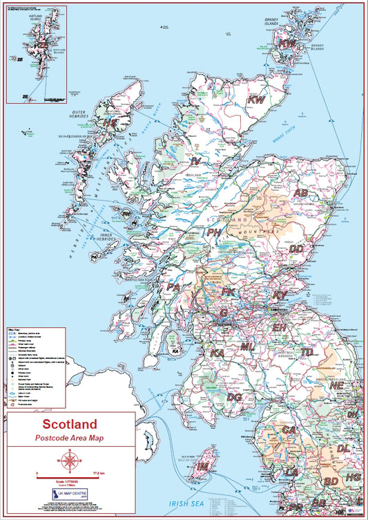
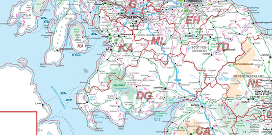
Scotland Postcode Area Map | All Scottish Postcode Regions PDF Download
Regular price £9.99Regular price -
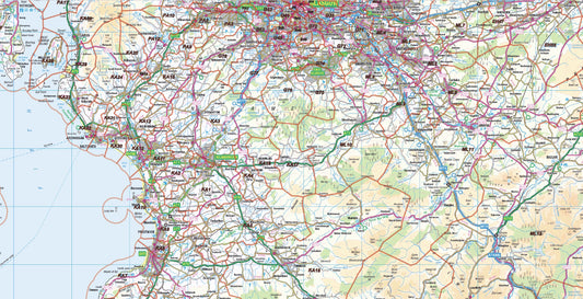
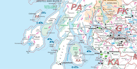
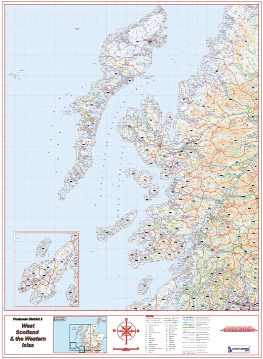
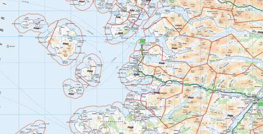
West Scotland Postcode District Map | Western Isles & Highlands PDF
Regular price £9.99Regular price -
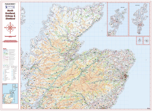
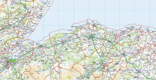
North Scotland Postcode District Map – Highlands, Orkney & Shetland
Regular price £9.99Regular price -
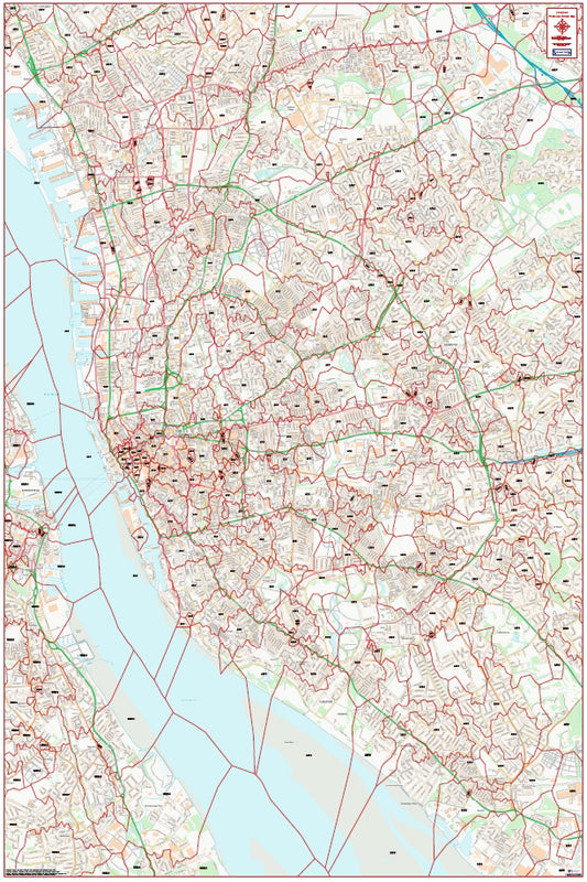
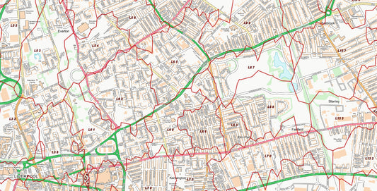
Central Liverpool Postcode City Street Map - Digital Download
Regular price £9.99Regular price -
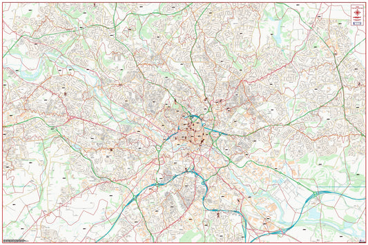
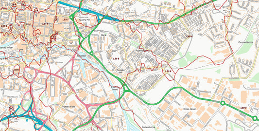
Central Leeds Postcode City Street Map - Digital Download
Regular price £9.99Regular price -
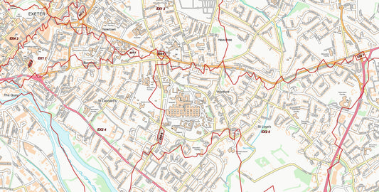
Central Exeter Postcode City Street Map - Digital Download
Regular price £9.99Regular price -
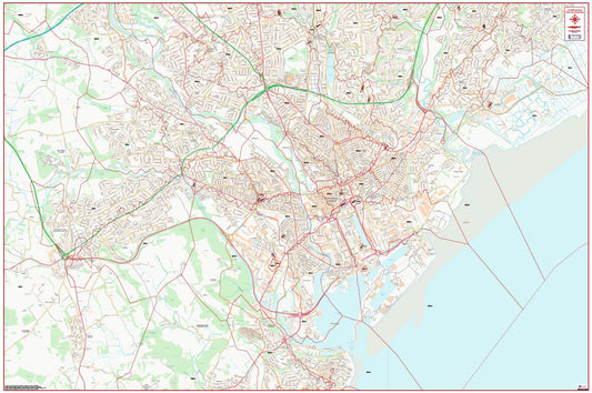
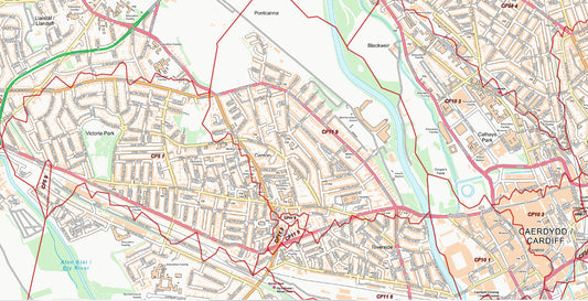
Central Cardiff Postcode City Street Map - Digital Download
Regular price £9.99Regular price -
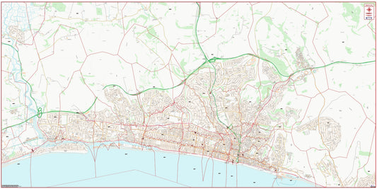
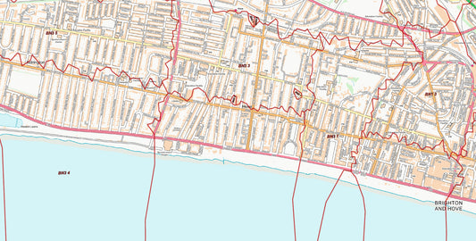
Central Brighton and Hove Postcode City Street Map - Digital Download
Regular price £9.99Regular price -
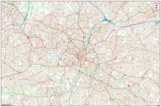
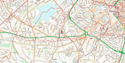
Central Birmingham Postcode City Street Map - Digital Download
Regular price £9.99Regular price -
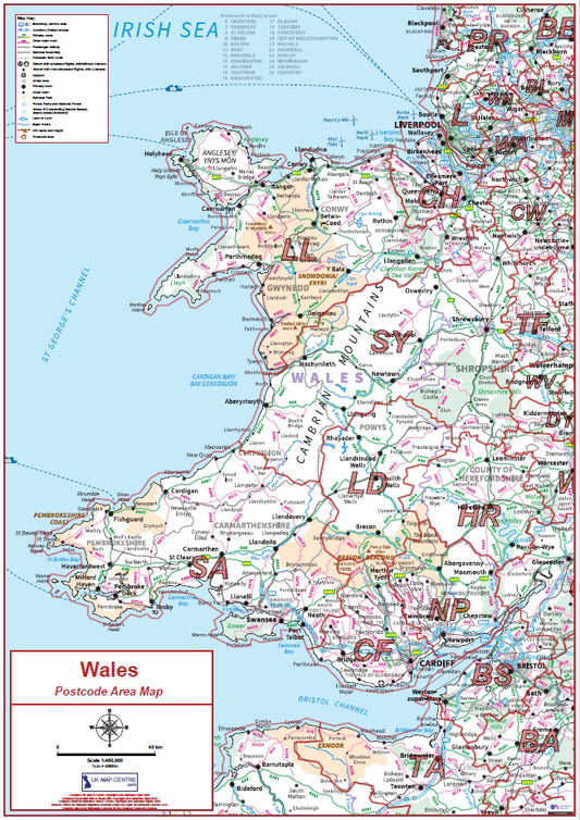
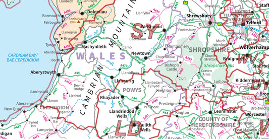
Compact Wales Postcode Area Map | Welsh Postcode Regions PDF Download
Regular price £5.99Regular price -
Compact Scotland Postcode Area Map | Scottish Postcode Regions PDF Download
Regular price £5.99Regular price -
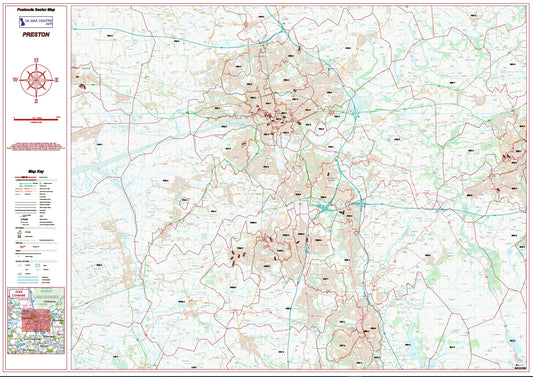
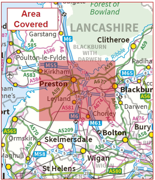
Postcode City Sector Map - Preston - Digital Download
Regular price £9.99Regular price -
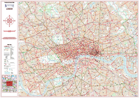
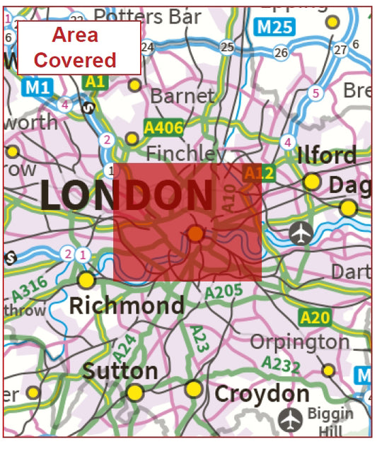
London Postcode Sector Map | Central London Postcode Boundaries PDF
Regular price £9.99Regular price -
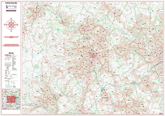
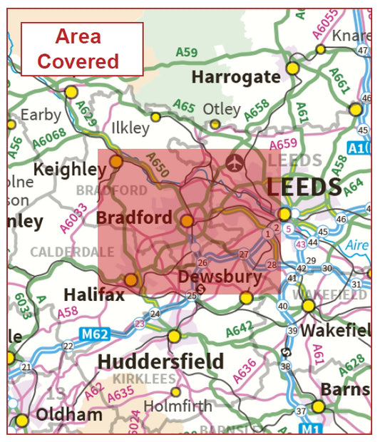
Postcode City Sector Map - Bradford - Digital Download
Regular price £9.99Regular price -
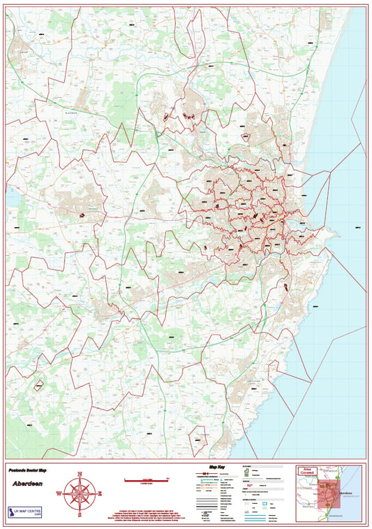
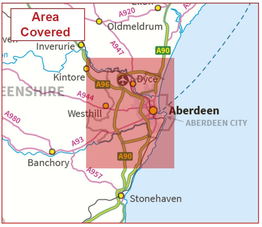
Aberdeen Postcode Sector Map | AB Postcode Boundaries PDF Download
Regular price £9.99Regular price -
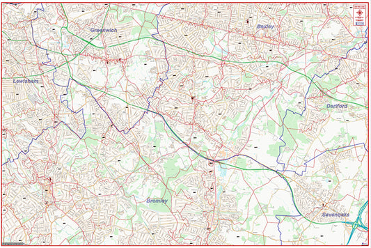
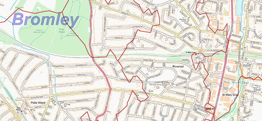
South East London Postcode City Street Map - Digital Download
Regular price £9.99Regular price -
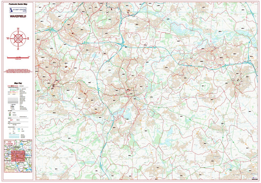
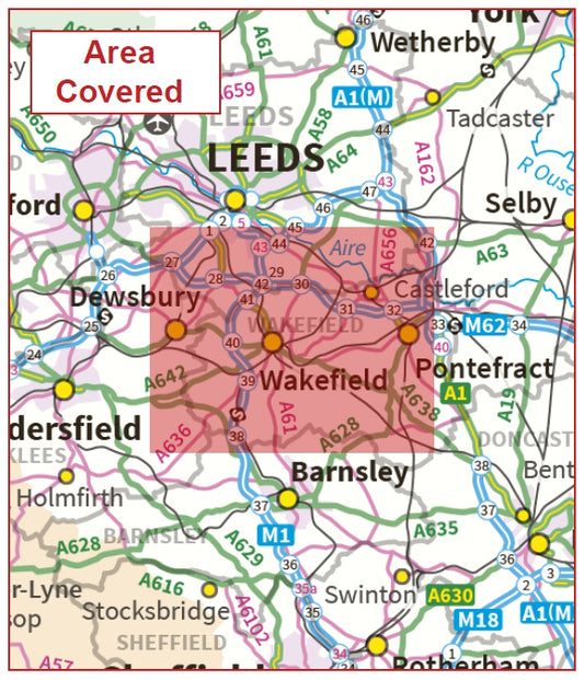
Postcode City Sector Map - Wakefield - Digital Download
Regular price £9.99Regular price